MyTopo
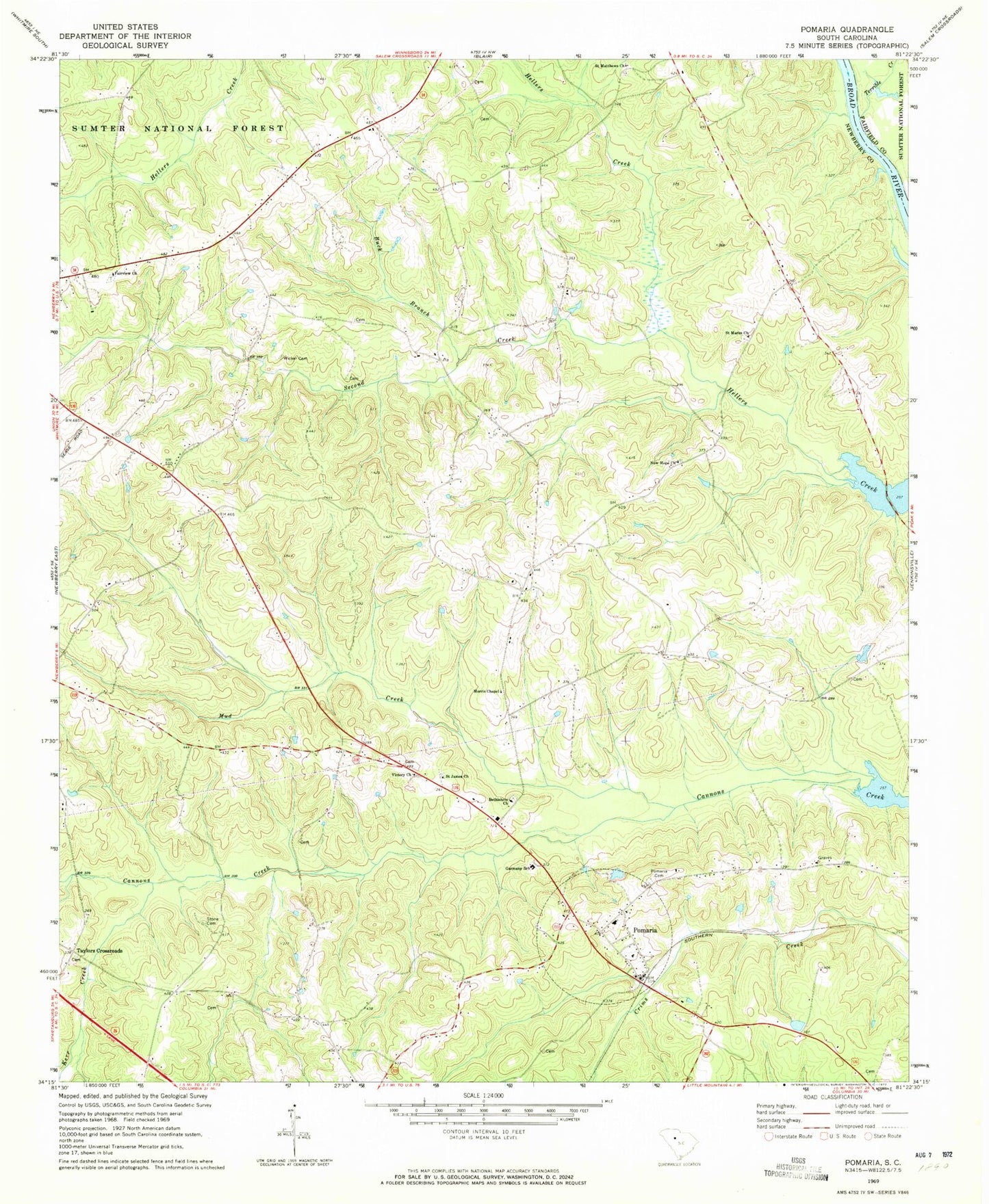
Classic USGS Pomaria South Carolina 7.5'x7.5' Topo Map
Couldn't load pickup availability
Historical USGS topographic quad map of Pomaria in the state of South Carolina. Map scale may vary for some years, but is generally around 1:24,000. Print size is approximately 24" x 27"
This quadrangle is in the following counties: Fairfield, Newberry.
The map contains contour lines, roads, rivers, towns, and lakes. Printed on high-quality waterproof paper with UV fade-resistant inks, and shipped rolled.
Contains the following named places: Bethlehem Cemetery, Bethlehem Lutheran Church, Broad River School, Buck Branch, Buck Shoals, Consolidated 5 Volunteer Fire Department, Cravenhill, Fairview Church, Fairview School, Garmany School, Griffins Shoal, Hayne, Hunter Dewalt School, Kerr Creek, Morris Chapel, Mud Creek, New Hope Church, New Hope School, Parr Shoals Reservoir, Pomaria, Pomaria Cemetery, Pomaria Division, Pomaria Elementary School, Pomaria Fire Department and Rescue Squad, Pomaria High School, Pomaria Lutheran Church, Presley School, Reuben, Saint James Church, Saint Lukes School, Saint Marks Church, Saint Matthews Cemetery, Saint Matthews Lutheran Church, Second Creek, Sondleys, Stone Cemetery, Taylors Crossroads, Terrible Creek, Town of Pomaria, Victory Church, Walton, Wicker Cemetery, ZIP Code: 29126