MyTopo
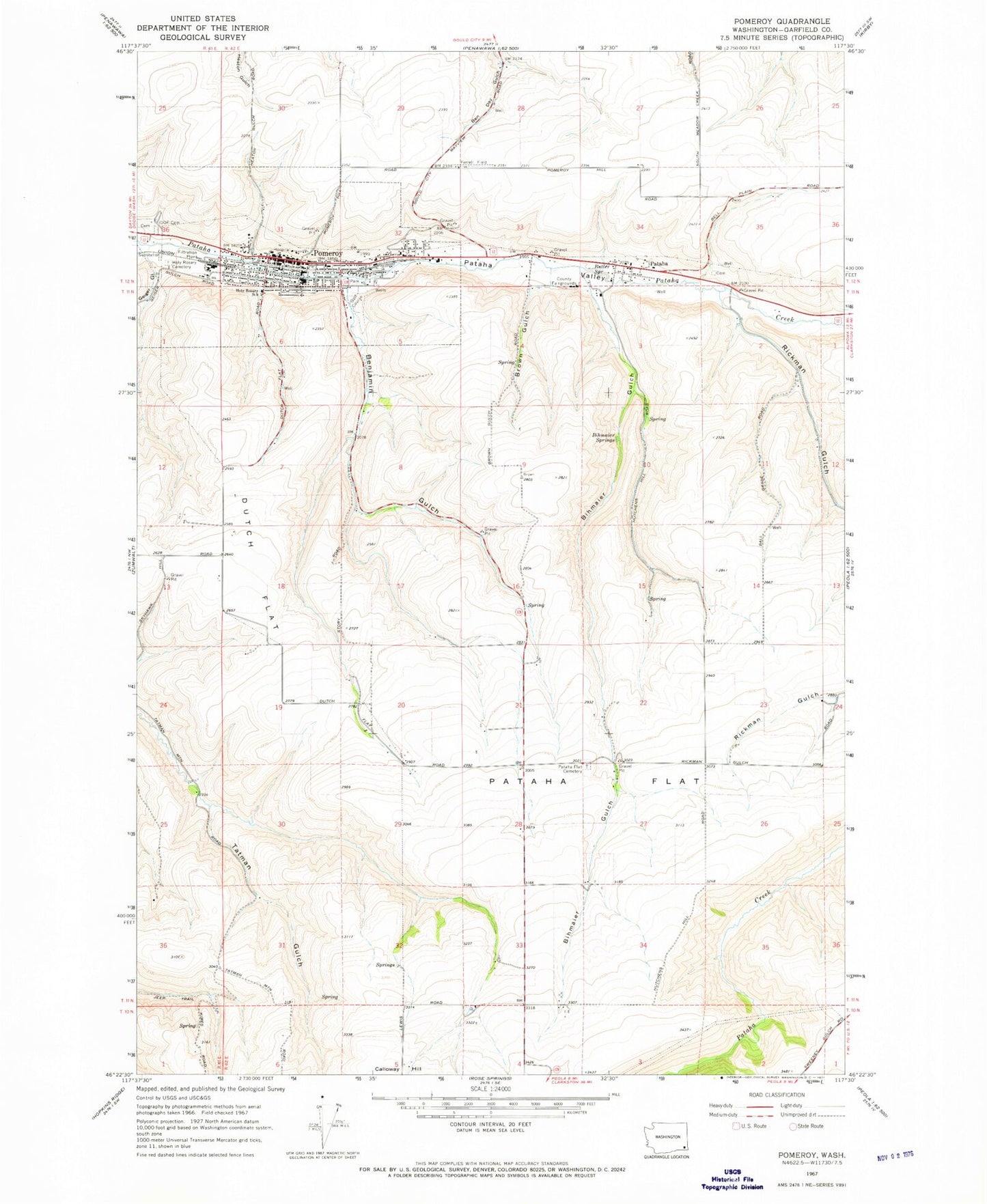
Classic USGS Pomeroy Washington 7.5'x7.5' Topo Map
Couldn't load pickup availability
Historical USGS topographic quad map of Pomeroy in the state of Washington. Map scale may vary for some years, but is generally around 1:24,000. Print size is approximately 24" x 27"
This quadrangle is in the following counties: Garfield.
The map contains contour lines, roads, rivers, towns, and lakes. Printed on high-quality waterproof paper with UV fade-resistant inks, and shipped rolled.
Contains the following named places: Benjamin Gulch, Berlin, Bihmaier Gulch, Bihmaier Springs, Brown Gulch, Butler Spring, City of Pomeroy, Dutch Flat, Ferrell Field, Garfield County, Garfield County Memorial Hospital, Garfield County Sheriff's Office, Geiger Gulch, Holy Rosary Cemetery, Holy Rosary School, Hutchens Gulch, Pataha, Pataha Census Designated Place, Pataha Flat, Pataha Flat Cemetery, Pomeroy, Pomeroy City Cemetery, Pomeroy Fire Department, Pomeroy Junior Senior High School, Pomeroy Police Department, Pomeroy Post Office, Rickman Gulch, ZIP Code: 99347