MyTopo
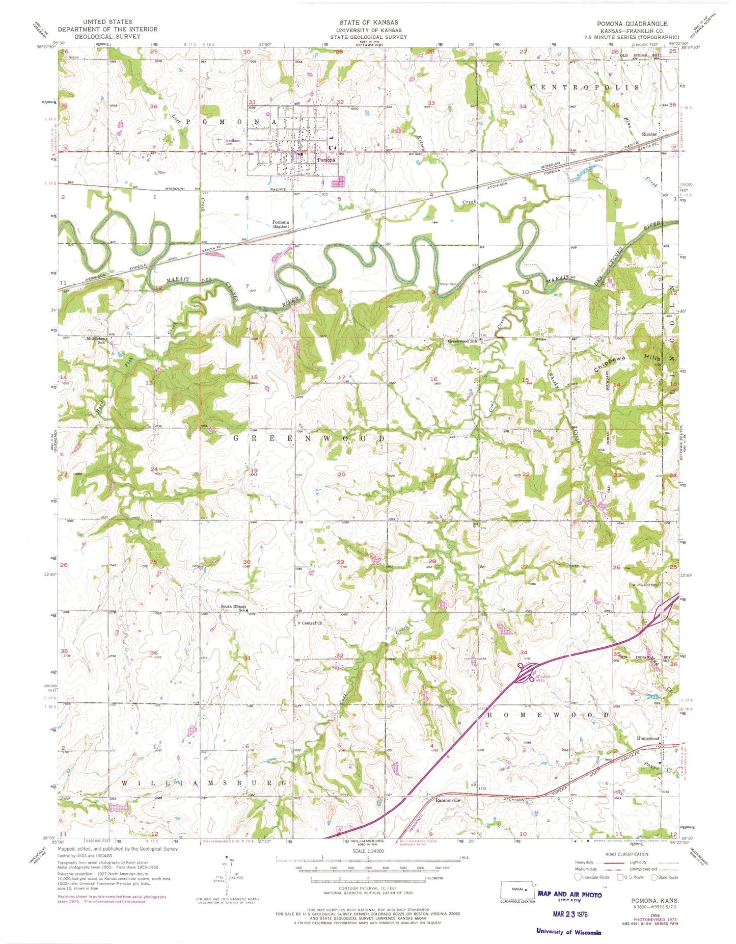
Classic USGS Pomona Kansas 7.5'x7.5' Topo Map
Couldn't load pickup availability
Historical USGS topographic quad map of Pomona in the state of Kansas. Map scale may vary for some years, but is generally around 1:24,000. Print size is approximately 24" x 27"
This quadrangle is in the following counties: Franklin.
The map contains contour lines, roads, rivers, towns, and lakes. Printed on high-quality waterproof paper with UV fade-resistant inks, and shipped rolled.
Contains the following named places: Central Cemetery, Central Church, Chanay Airport, Chippewa Ranch Airport, City of Pomona, Coal Creek, Greenwood School, Hard Fish Creek, Hickory Hollow Golf Club, Homewood, Homewood Christian and Community Church, Homewood Recreational Vehicle Park, Kansas Department of Transportation Franklin County Rest Area, Kelsey Creek, Lost Creek, Middleton School, Miller Dam, Mount Pleasant Cemetery, Pomona, Pomona Assembly of God Church, Pomona City and Township Fire Department, Pomona City Hall, Pomona Post Office, Pomona United Methodist Church, Pomona Wastewater Treatment Facility, Ransomville, Richter, South Illinois School, Timber Lakes Camp and Retreat Center, Timber Lakes Camp and Retreat Center Wastewater Treatment Facility, Town and Country Church of the Nazarene, Township of Greenwood, Township of Homewood, Township of Pomona, West Franklin Learning Center, West Franklin Middle / High School, West Franklin Middle School, West Franklin Unified School District Office, Whisky Creek, Woodlawn Cemetery


