MyTopo
Classic USGS Pond Creek NW Oklahoma 7.5'x7.5' Topo Map
Regular price
$16.95
Regular price
Sale price
$16.95
Unit price
per
Couldn't load pickup availability
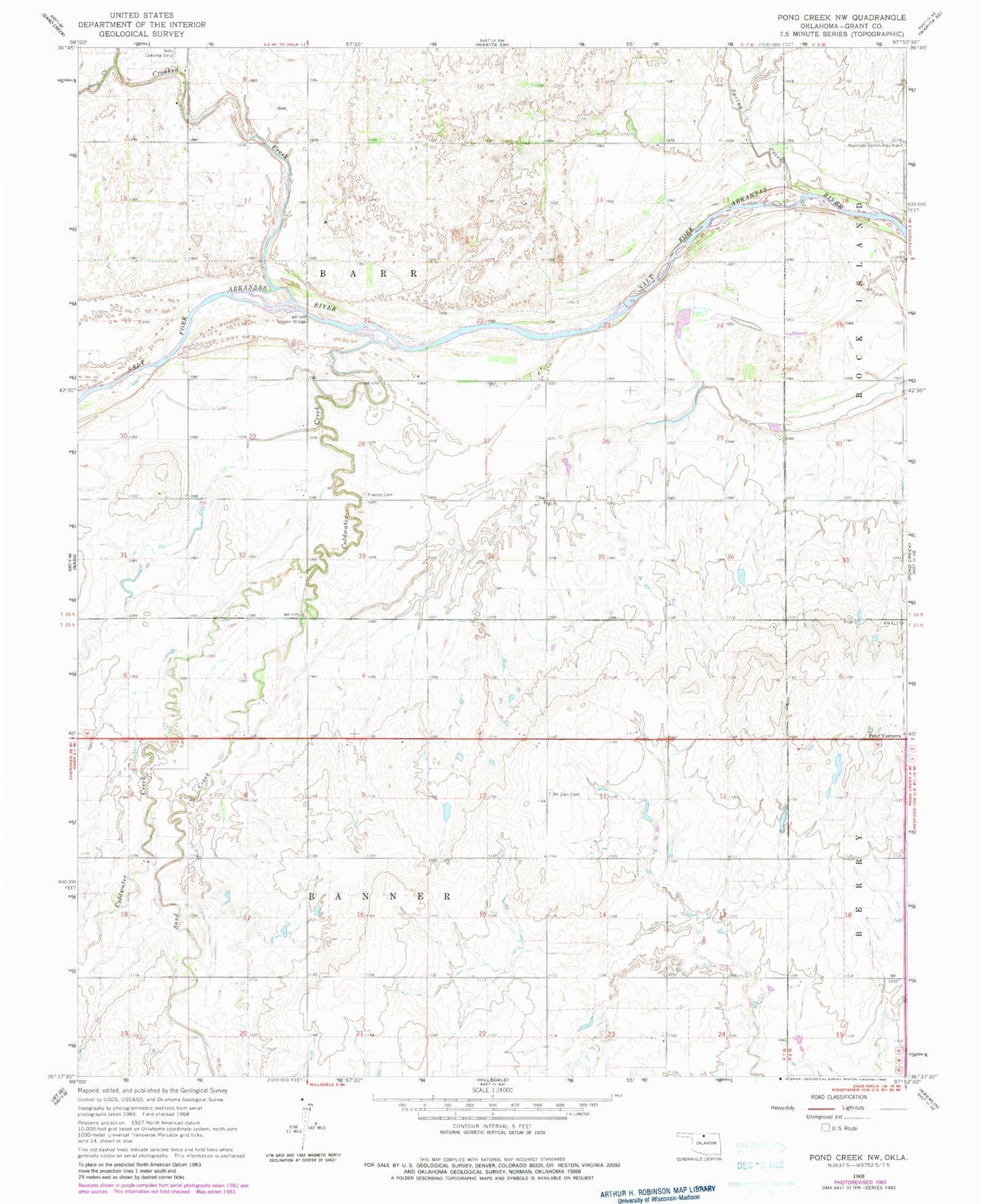
Historical USGS topographic quad map of Pond Creek NW in the state of Oklahoma. Map scale may vary for some years, but is generally around 1:24,000. Print size is approximately 24" x 27"
This quadrangle is in the following counties: Grant.
The map contains contour lines, roads, rivers, towns, and lakes. Printed on high-quality waterproof paper with UV fade-resistant inks, and shipped rolled.
Contains the following named places: Coldwater Creek, Crooked Creek, Four Corners, Friends Cemetery, Hixson Bridge, Mount Zion Cemetery, Riverdale Community Hall, Sand Creek, Southwest Grant Division, Spring Creek, Township of Banner, Township of Barr