MyTopo
Classic USGS Pond Creek Texas 7.5'x7.5' Topo Map
Regular price
$16.95
Regular price
Sale price
$16.95
Unit price
per
Couldn't load pickup availability
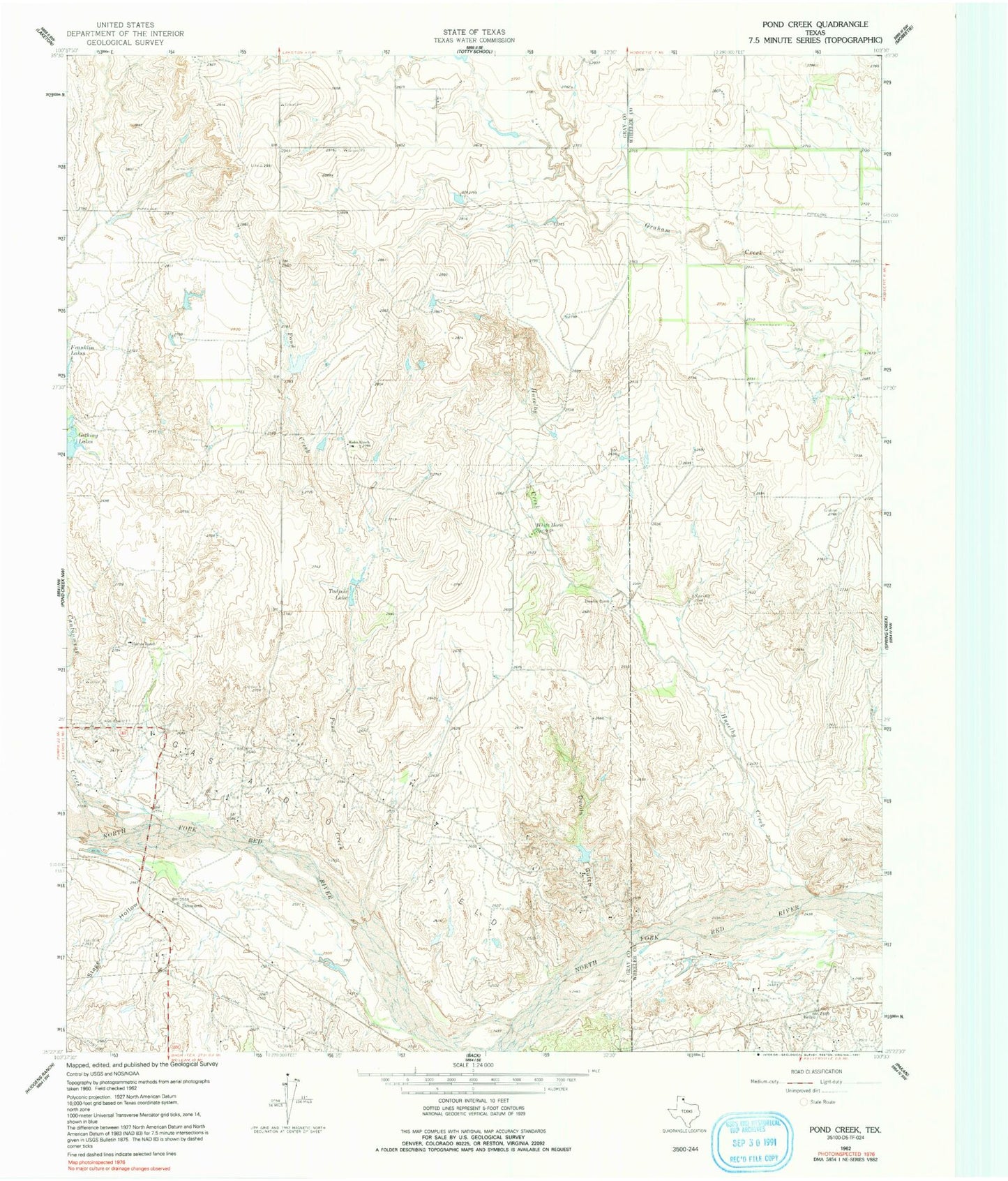
Historical USGS topographic quad map of Pond Creek in the state of Texas. Map scale may vary for some years, but is generally around 1:24,000. Print size is approximately 24" x 27"
This quadrangle is in the following counties: Gray, Wheeler.
The map contains contour lines, roads, rivers, towns, and lakes. Printed on high-quality waterproof paper with UV fade-resistant inks, and shipped rolled.
Contains the following named places: Bellco, Cantonment Creek, Denworth, Devils Gulch, Gething Lakes, Harnes Ranch, Haynes Lake, Huselby Creek, Huselby Ranch, John C Haynes Lake Dam, Pond Creek, Stage Hollow, Tadpole Lake, Webb Ranch, White Horse Spring