MyTopo
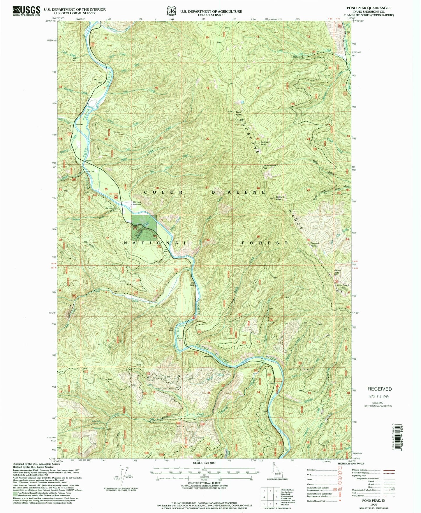
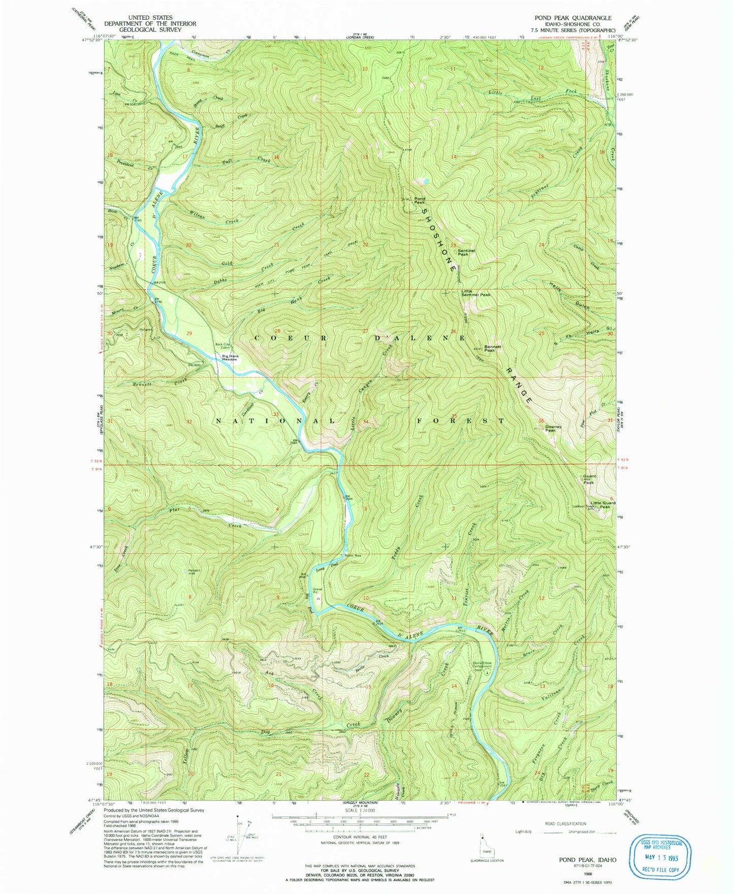
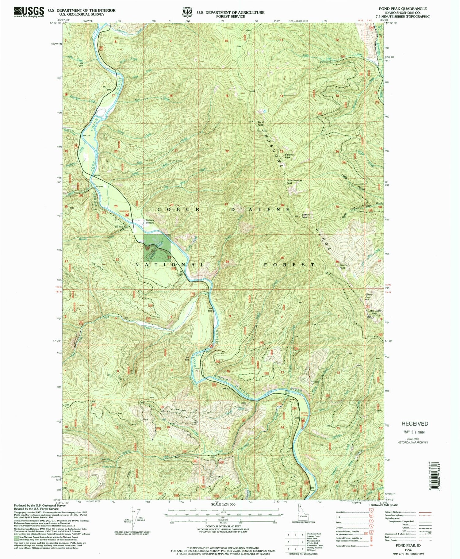
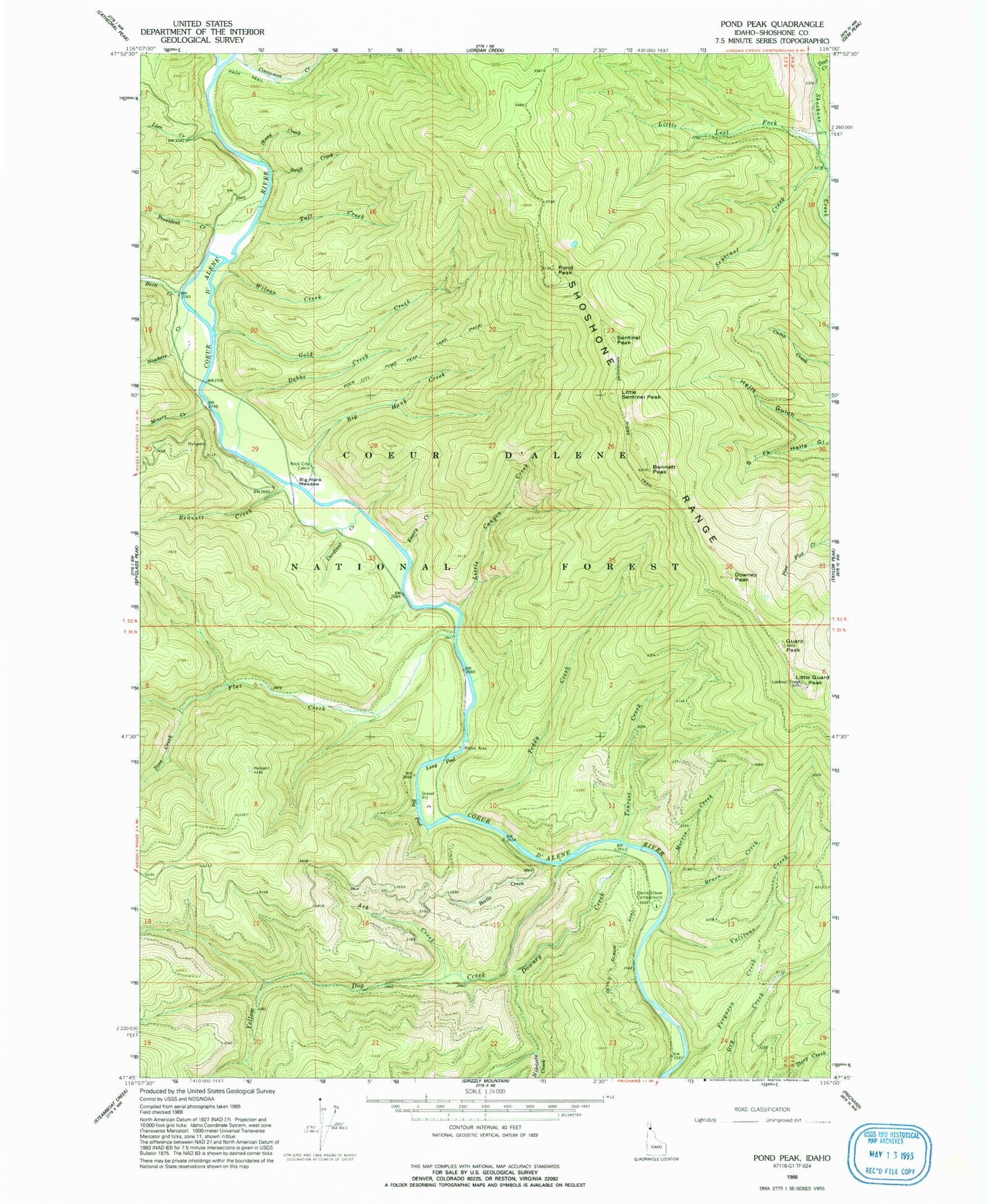
Classic USGS Pond Peak Idaho 7.5'x7.5' Topo Map
Couldn't load pickup availability
Historical USGS topographic quad map of Pond Peak in the state of Idaho. Typical map scale is 1:24,000, but may vary for certain years, if available. Print size: 24" x 27"
This quadrangle is in the following counties: Shoshone.
The map contains contour lines, roads, rivers, towns, and lakes. Printed on high-quality waterproof paper with UV fade-resistant inks, and shipped rolled.
Contains the following named places: Ash Creek, Beetle Creek, Bennett Creek, Bennett Peak, Big Hank Creek, Big Hank Meadow, Bruce Creek, Cardinal Creek, Cinnamon Creek, Debbs Creek, Devils Elbow Campground, Downey Creek, Downey Peak, Emery Creek, Ferguson Creek, Flat Creek, Gold Creek, Guard Peak, Lion Creek, Little Canyon Creek, Little Guard Peak, Little Lost Fork, Little Sentinel Peak, Long Pool, Miners Creek, Morris Creek, North Grizzly Creek, Nowhere Creek, Pond Peak, President Creek, Rock City Cabin (historical), Rock City Pond Peak Trail, Sentinel Creek, Shoshone Range, Stony Creek, Swift Creek, Taft Creek, Teddy Creek, Tent Creek, Tourist Creek, Ulm Creek, Valitons Creek, Wilson Creek, Svee Creek, Fern Falls, Shadow Falls, Little Guard Peak Lookout, Big Hank Campground, Sentinel Peak, Big Pool, Yellow Dog Creek, Burnt Hill, Brett Creek, Murray Division


