MyTopo
USGS Classic Pond Run Ohio 7.5'x7.5' Topo Map
Couldn't load pickup availability
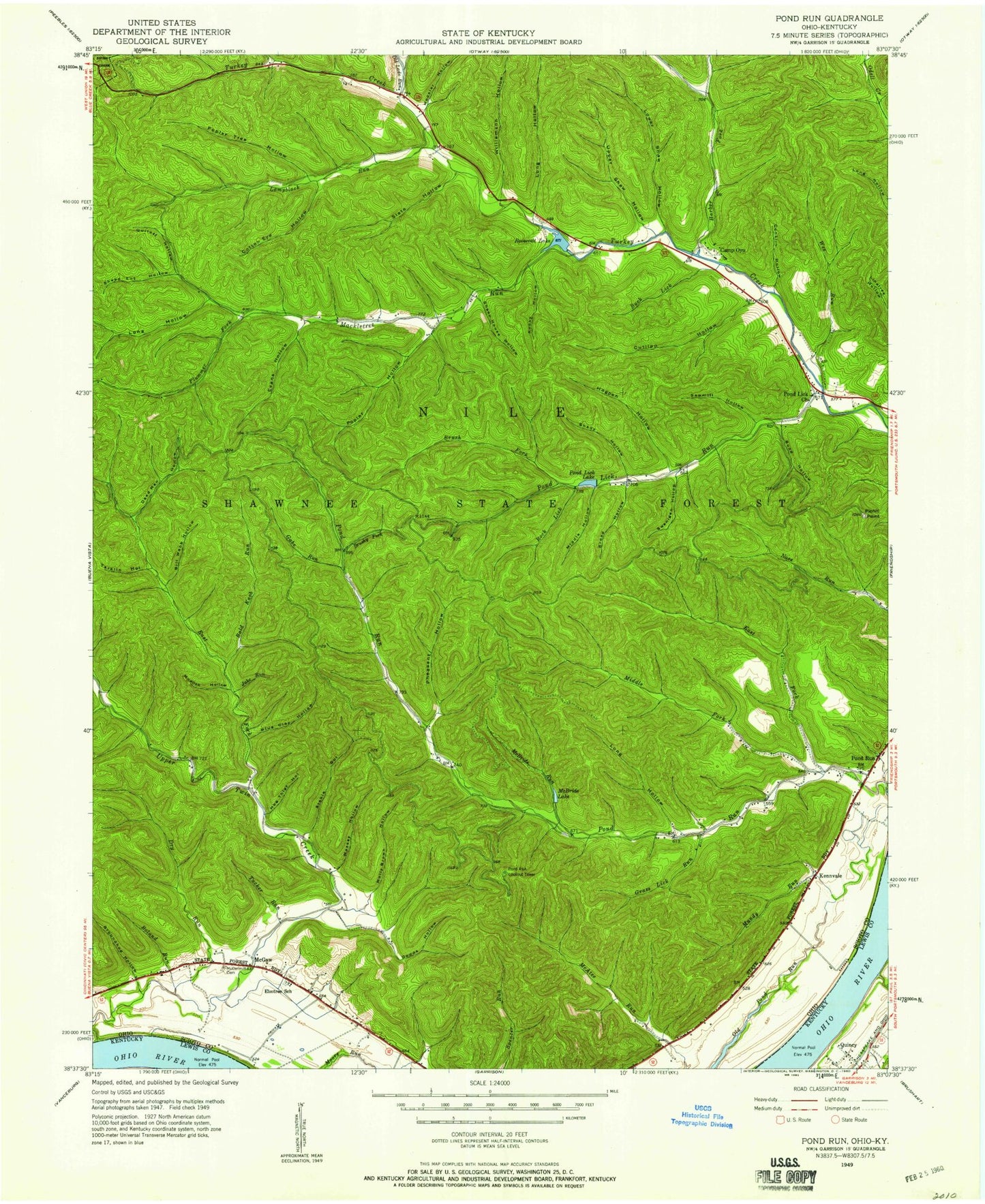
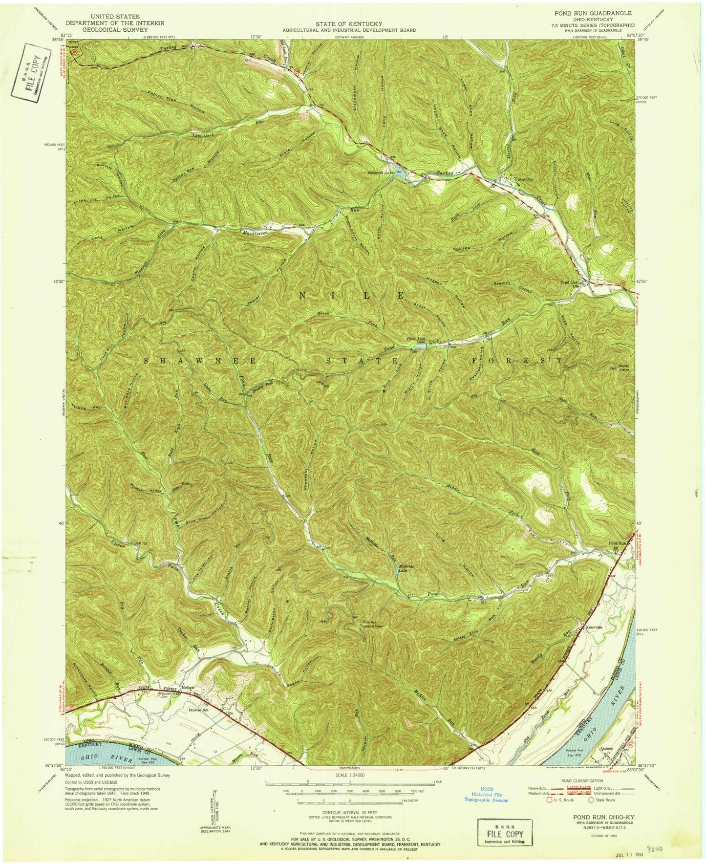
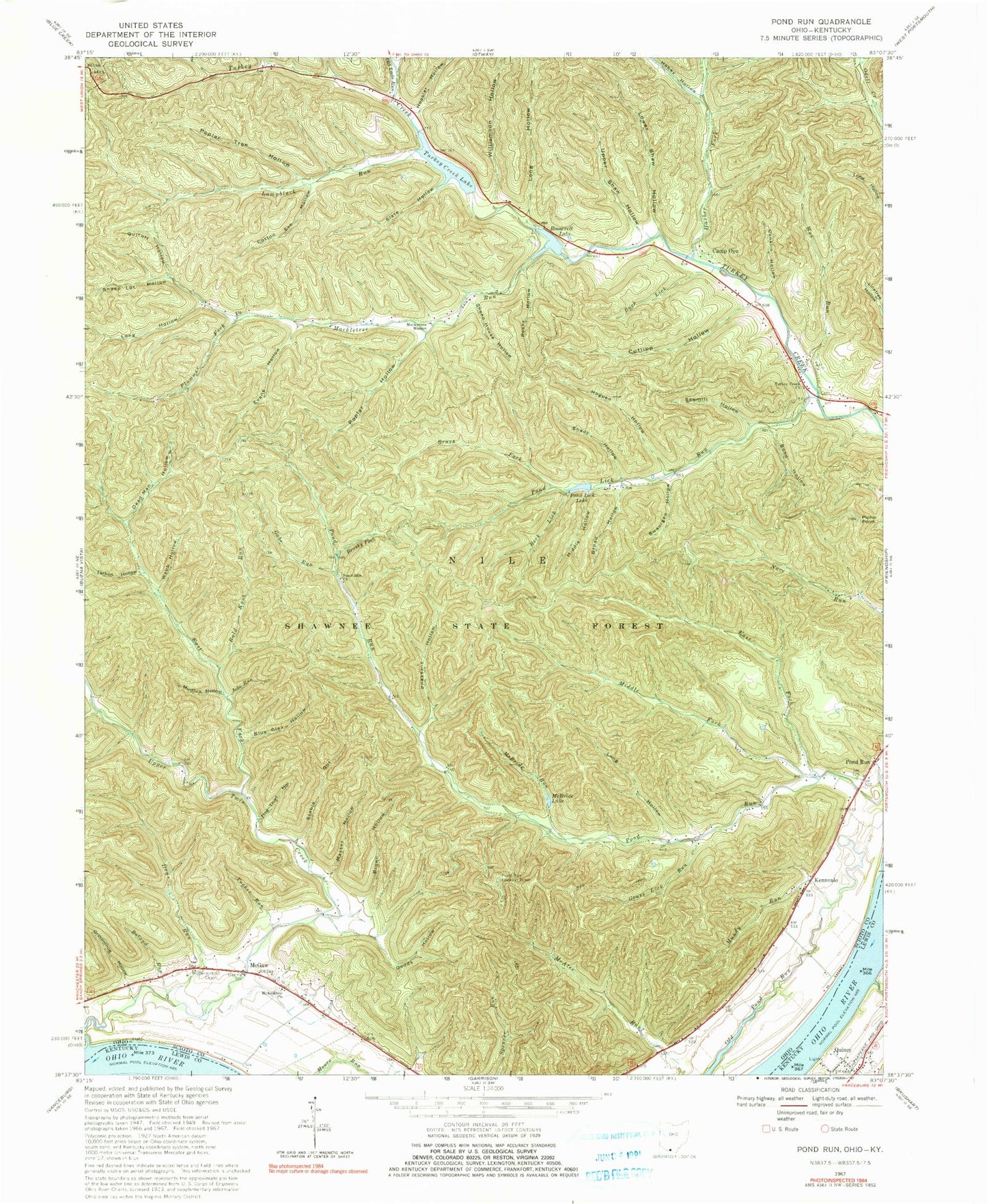
Historical USGS topographic quad map of Pond Runin the states of Ohio, Kentucky. Scale: 1:24000. Print size: 24" x 27"
This quadrangle is in the following counties: Lewis, Scioto.
The map contains contour lines, roads, rivers, towns, lakes, and grids including latitude / longitude and UTM / MGRS. Printed on high-quality waterproof paper with UV fade-resistant inks.
Contains the following named places: Harber Fork Turkey Creek, Bald Knob Run, Blue Clay Hollow, Boland Run, Bond Hollow, Broad Hollow, Brush Fork, Brushy Fork, Conklin Hollow, Cotton Eye Hollow, Cutlipp Hollow, Dead Man Hollow, Dodds Hollow, Dry Run, East Fork Pond Run, East Fork Upper Twin Creek, Evans Hollow, Gabe Run, Grass Lick Run, Groundhog Hollow, Hobey Hollow, Hog Thief Hollow, Hogpen Hollow, Hoosier Hollow, Jake Run, Kennvale, Lampblack Run, Long Hollow, Long Hollow, Long Hollow, Mackletree Mission, Massey Hollow, McBride Lake, McBride Run, McDermitt Cemetery, McKendree Church, Middle Fork Pond Run, Mudlick Hollow, Mundy Run, Old Lade Run, Plummer Fork, Pond Lick Lake, Pond Lick Run, Pond Run Church, Poplar Hollow, Poplar Tree Hollow, Quitoff Hollow, Rock Lick, Rocky Hollow, Sawmill Hollow, Shady Hollow, Sheep House Hollow, Sheep Lot Hollow, Slate Hollow, Stable Gut, Swanigen Hollow, Tarkiln Hollow, Tucker Run, Turkey Creek Church, Upper Shaw Hollow, Upper Twin Creek, Wes Run, Williamson Hollow, Wolfden Run, Camp Oyo, McGaw, Leatherwood School (historical), Barbara Run, Union School (historical), Coriell School (historical), Upper Twin Creek School (historical), Elmtree School (historical), Givens Landing, Pond Run, Shawnee State Park, Buck Lick, Wyckoffs Landing, Rock Lick, Lower Shaw Hollow, Mackletree Tree, Middle Hollow, Pheasant Hollow, Picnic Point, Brown Hollow, Webb Hollow, Shawnee State Forest, Roosevelt Lake Dam, Roosevelt Lake, Turkey Creek Lake Dam, Turkey Creek Lake, Pond Run Lookout Tower, Shawnee State Lodge Heliport, Township of Nile, McKendree Cemetery, Pondrun Post Office (historical), McGaw Post Office (historical), Vance Creek, Formans Bottom, Quincy Post Office


