MyTopo
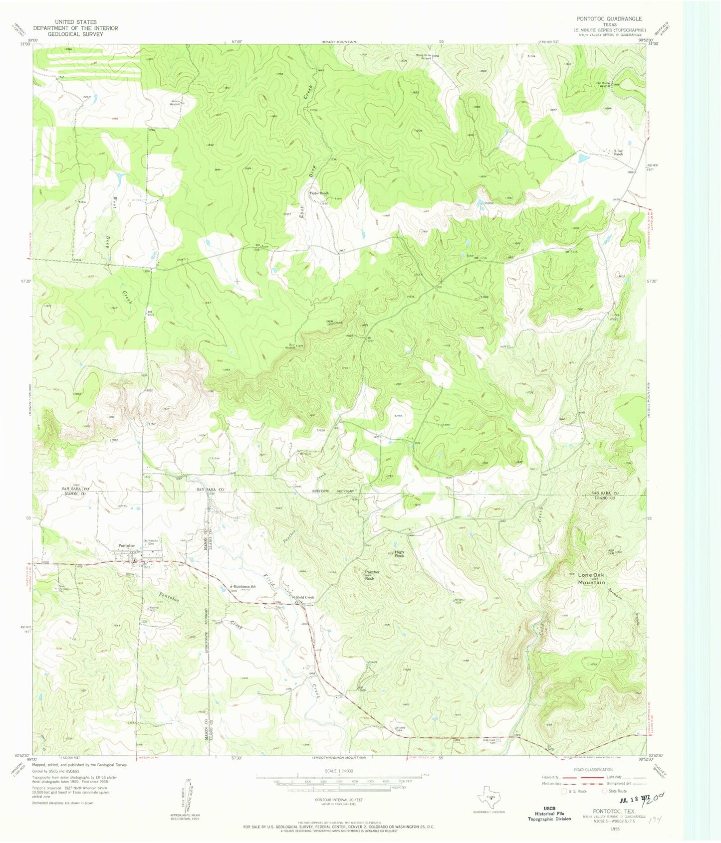
Classic USGS Pontotoc Texas 7.5'x7.5' Topo Map
Couldn't load pickup availability
Historical USGS topographic quad map of Pontotoc in the state of Texas. Map scale may vary for some years, but is generally around 1:24,000. Print size is approximately 24" x 27"
This quadrangle is in the following counties: Llano, Mason, San Saba.
The map contains contour lines, roads, rivers, towns, and lakes. Printed on high-quality waterproof paper with UV fade-resistant inks, and shipped rolled.
Contains the following named places: Bush Windmill, Cold Creek Cemetery, East Murray Windmill, Field Creek, High Rock, Hutchinson School, Jenkins Windmill, Lone Oak Mountain, Mining House Windmill, New Pontotoc Cemetery, Nine-Bar Ranch, Old Pontotoc Cemetery, Panther Creek, Panther Rock, Pontotoc, Pontotoc Creek, Pontotoc Post Office, Pontotoc Ranch Volunteer Fire Department, Taylor Ranch, ZIP Code: 76869