MyTopo
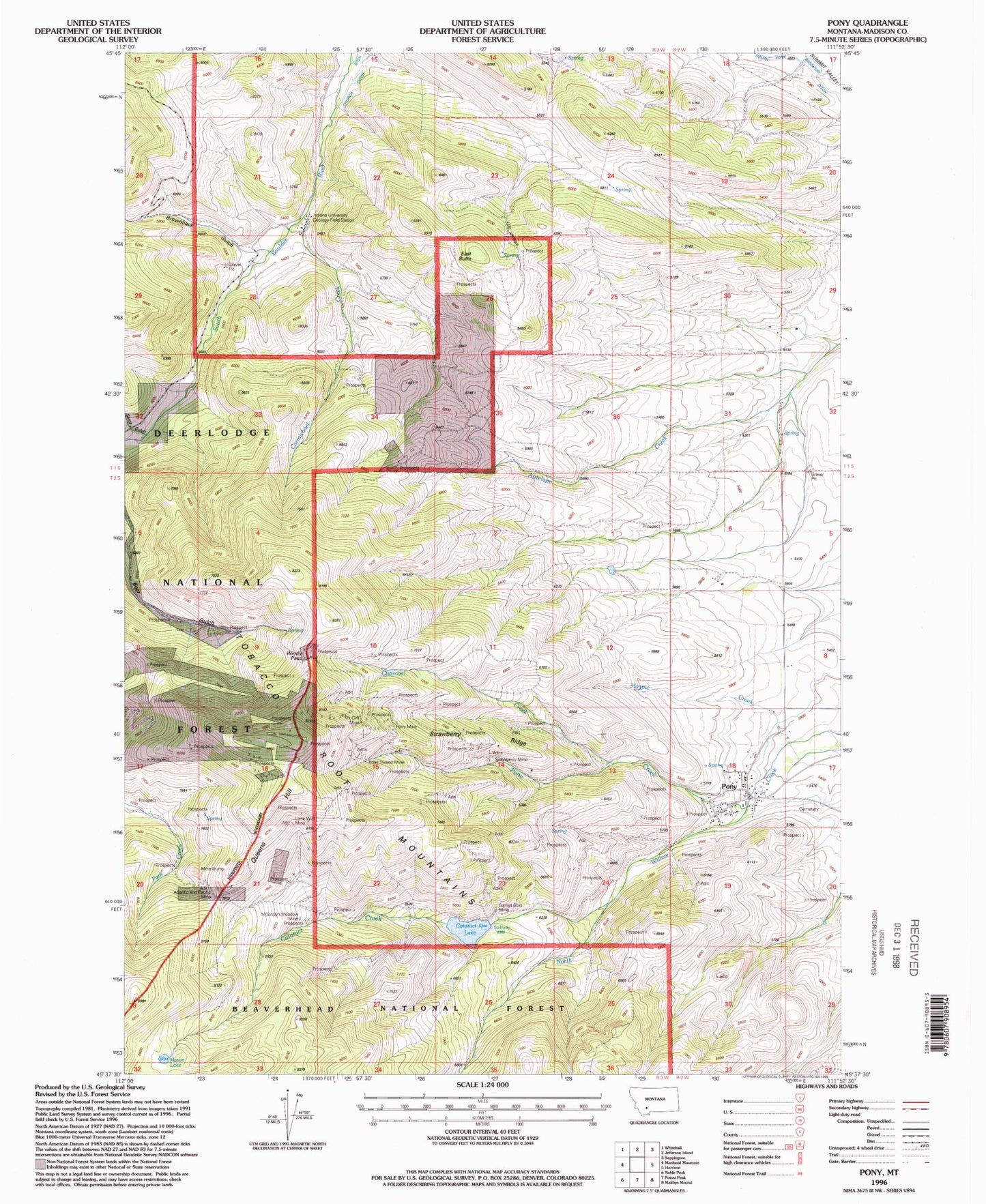
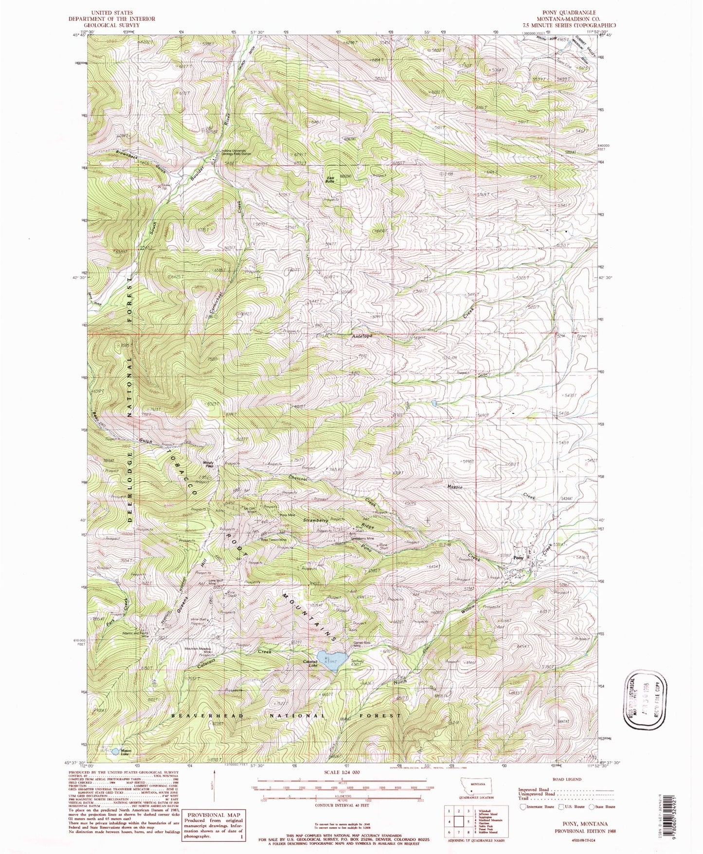
Classic USGS Pony Montana 7.5'x7.5' Topo Map
Couldn't load pickup availability
Historical USGS topographic quad map of Pony in the state of Montana. Typical map scale is 1:24,000, but may vary for certain years, if available. Print size: 24" x 27"
This quadrangle is in the following counties: Madison.
The map contains contour lines, roads, rivers, towns, and lakes. Printed on high-quality waterproof paper with UV fade-resistant inks, and shipped rolled.
Contains the following named places: Brownback Gulch, Sams Gulch, Atlantic and Pacific Mine, Boss Tweed Mine, Carmichael Creek, Cataract Creek, Charcoal Creek, Garnet Gold Mine, Indiana University Geology Field Station, Lone Wolf Mine, Magpie Creek, Mason Lake, Mount Cliff Mine, Mountain Meadow Mine, Pony, Pony Creek, Pony Mine, Sams Gulch, South Fork Missouri Ditch, Springside Ranch, Strawberry Mine, Strawberry Ridge, Windy Pass, Queens Hill, East Butte, Carmichael Canyon, Springside Ranch, Cataract Creek Dam, Marsh Lake Dam, Boss Tweed Mine, Garnet Gold Mine, Mountain Meadow Mine, Mountain Cliff Mine, Strawberry Mine, SW SE Section 34 Mine, Gilliam Vermiculite Mine, SW NW Section 18 Mine, White Pine Mine, Pony Mine, Ben Harrison Mine, SE NW Section 16 Mine, NW NE Section 14 Mine, Clipper Mine, SW SW Section 16 Mine, NW SE Section 17 Mine, SW SE Section 18 Mine, NW NW Section 22 Mine, SE NE Section 21 Mine, SE SE Section 13 Mine, SE NW Section 24 Mine, NE NW Section 24 Mine, NE NW Section 34 Mine, SE NE Section 33 Mine, Bear Gulch Mine, Cataract Lake, 02S02W18DCAD01 Well, 02S02W18DBCC01 Well, Pony Cemetery, Saint Johns Episcopal Church (historical), Pony Catholic Church (historical), Pony Bible Church, Pony School (historical), Pony (historical), Pony Post Office, Clipper Post Office (historical), Strawberry (historical), Hog Hollow Creek, Brownback Creek, Pony Census Designated Place


