MyTopo
Classic USGS Pope Tennessee 7.5'x7.5' Topo Map
Couldn't load pickup availability
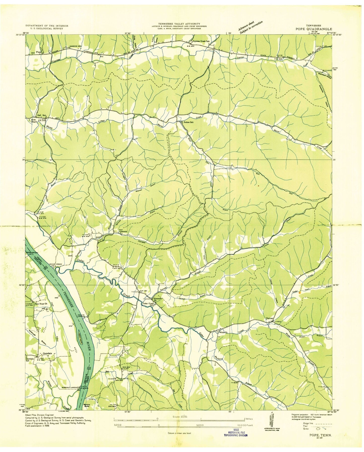
Historical USGS topographic quad map of Pope in the state of Tennessee. Typical map scale is 1:24,000, but may vary for certain years, if available. Print size: 24" x 27"
This quadrangle is in the following counties: Decatur, Perry.
The map contains contour lines, roads, rivers, towns, and lakes. Printed on high-quality waterproof paper with UV fade-resistant inks, and shipped rolled.
Contains the following named places: Inman Hollow, Mayberry Branch, Shipman Hollow, Simmons Cemetery, Simmons Church, Slash Branch, Smith Branch, Smith Hollow, Starbuck Cemetery, Sutton Cemetery, Sutton Hollow, Tarwater Hollow, Thompson Hollow, Tracey Hollow, Turner Hollow, Turner Hollow, Ward Hill, Whites Creek, Whitwell Branch, Woods Branch, Woods Hollow, Wright Hollow, Alex Hollow, Allen Hollow, Amos Hollow, Ayers Hollow, Barber Hollow, Bateman Slough, Bee Creek, Bridges Hollow, Broadway Cemetery, Brooks Hollow, Buck Fork, Bunch Cemetery, Bunch Cemetery, Bunch Hollow, Caleb Hollow, Campbell Cemetery, Cedar Creek, Cow Branch, Cow Hollow, Craig Cemetery, Craig Hollow, Cris Hollow, Cross Hollow, DePriest Hollow, Denton Cemetery, Denton Hollow, Duncan Hollow, Flowers Branch, Flowers Cemetery, Fluty Branch, Fluty Cemetery, Fluty Spring, Furnace Branch, Furnace Hollow, Ghents Hollow, Gobelet Cemetery, Goose Branch, Grapevine Hollow, Groom Spring, Gumdale, Gumdale Dewatering Area, Gurley Hollow, Halabough Branch, Hall Deadening Hollow, Harder Cemetery, Harder Hollow, Henson Hollow, Holder Branch, Holder Cemetery, Horner Church, Horner Hollow, Horner Hollow, Horses Head, Howell Branch, Ivy Hollow, Kellys Island, Kunkel Cemetery, Marvin Hollow, McCurtie Branch, McGee Hollow, Moore Cemetery, Opossum Branch, Orebank Hollow, Pace Cemetery, Persimmon Branch, Pope, Reed Hollow, Richardson Cemetery, Roberts Cemetery, Scroggins Branch, James Tucker Airport, Slickrock Hollow, Smith Bottom Church, Swindle Creek, Cedar Valley Church, Birds Chapel (historical), Cave Spring, Cedar Creek, Cedar Creek Dock, Cedar Creek School (historical), Cedar Grove Furnace (historical), Cypress Creek School (historical), Hall School (historical), Marsh Creek Church, Mayberry Hollow, Mayberry Spring, New Era (historical), New Era Dock, Sutton School (historical), Halabough Bottom, Vise Landing, Brownsport Landing, Cedar Creek Landing, Horner, Kellys Landing, New Era Landing, Gumdale School (historical), New Hope School (historical), Pope School (historical), DePriest Branch, New Era Ferry (historical), Brownsport (historical), Commissioner District 1, Cedar Creek Volunteer Fire Department, Pope Volunteer Fire Department


