MyTopo
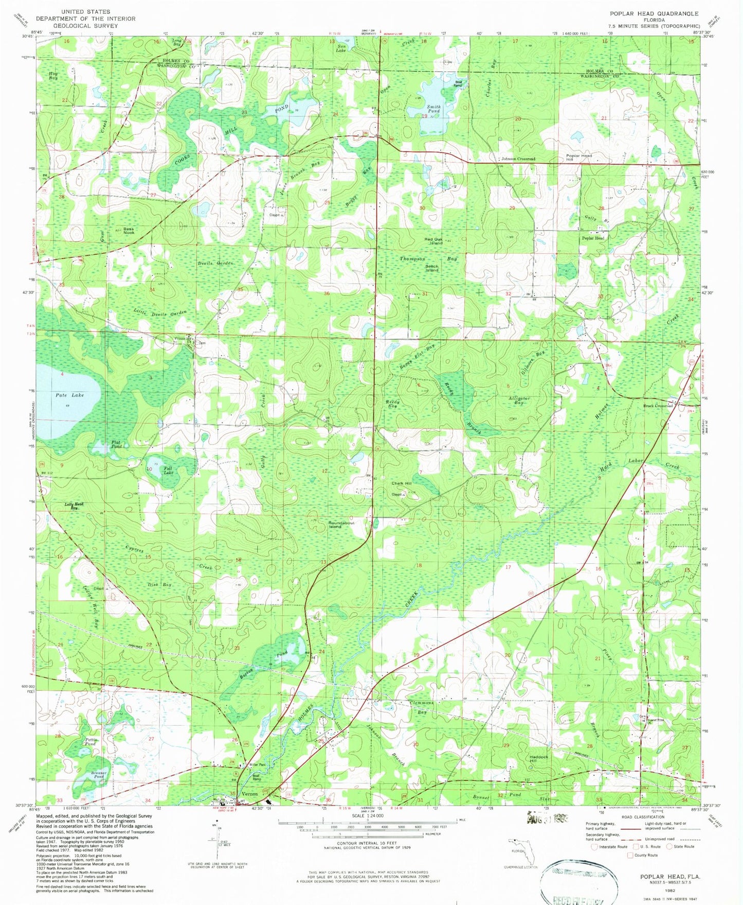
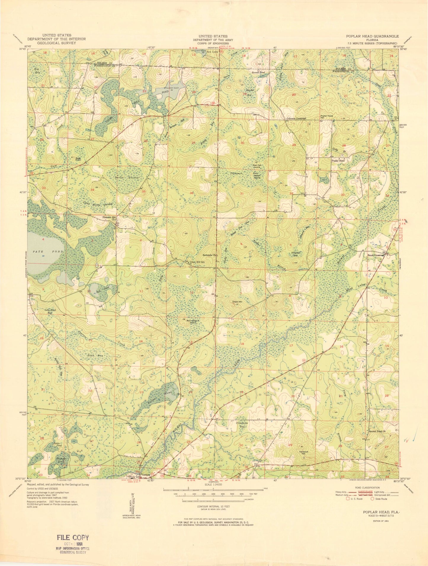
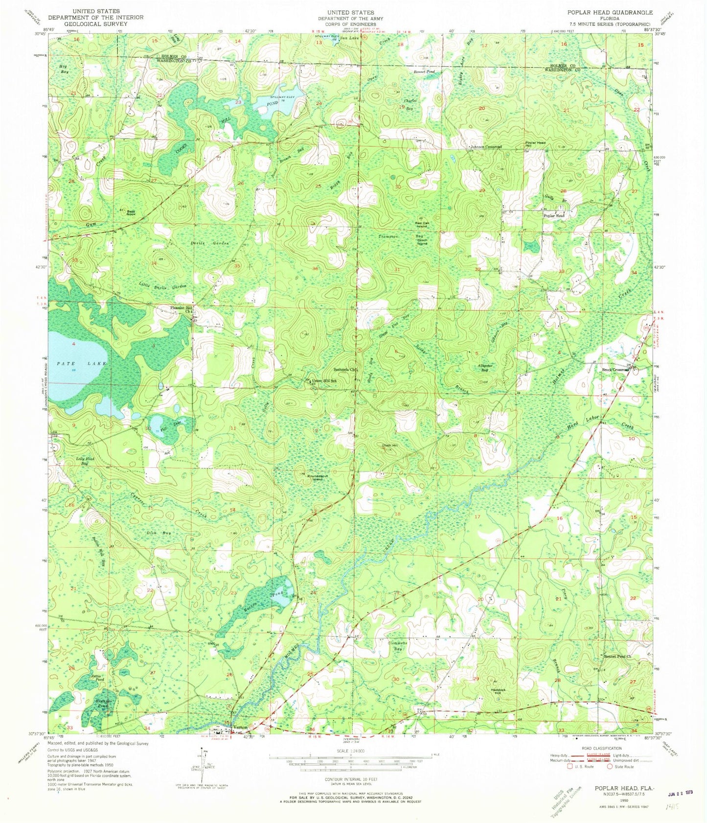
Classic USGS Poplar Head Florida 7.5'x7.5' Topo Map
Couldn't load pickup availability
Historical USGS topographic quad map of Poplar Head in the state of Florida. Map scale may vary for some years, but is generally around 1:24,000. Print size is approximately 24" x 27"
This quadrangle is in the following counties: Holmes, Washington.
The map contains contour lines, roads, rivers, towns, and lakes. Printed on high-quality waterproof paper with UV fade-resistant inks, and shipped rolled.
Contains the following named places: Alligator Bay, Becton Pond, Beech Island, Bennet Pond Church, Bess Nook, Bethesda Church, Boggy Bay, Boggy Flat Bay, Bonnet Pond, Brock Crossroad, Brunner Pond, Chalk Hill, Clemmons Bay, Cooks Mill Pond, Cypress Creek, Devils Garden, Dish Bay, Eighty Acre Bay, Five Points Volunteer Fire Department Poplar Head Substation, Foll Lake, Gilmore Bay, Gully Branch, Gully Creek, Haddock Hill, Hard Labor Creek, Hog Bay, Indian Well Bay, Janes Branch Bay, Jesus Saves Baptist Church, Johnson Crossroad, Little Devils Garden, Lolly Head Bay, Open Creek, Pate Lake, Pettis Pond, Piney Branch, Pippin Mill Creek, Pleasant Hill Church, Poplar Head, Poplar Head Hill, Red Oak Island, Reedy Bay, Reedy Branch, Roundabout Island, Smith Pond, Thompson Bay, Union Hill School, Vernon Fire Department


