MyTopo
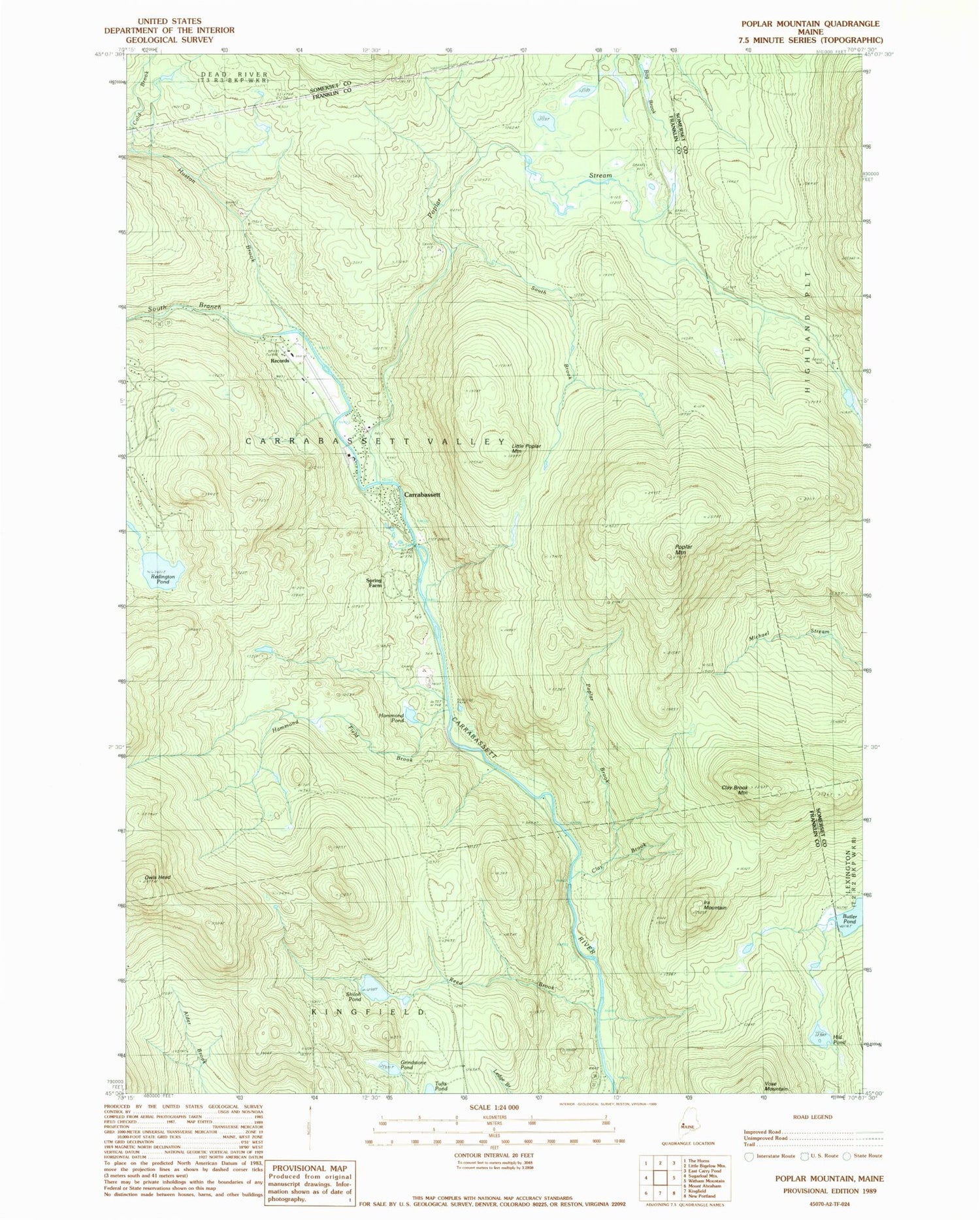
Classic USGS Poplar Mountain Maine 7.5'x7.5' Topo Map
Couldn't load pickup availability
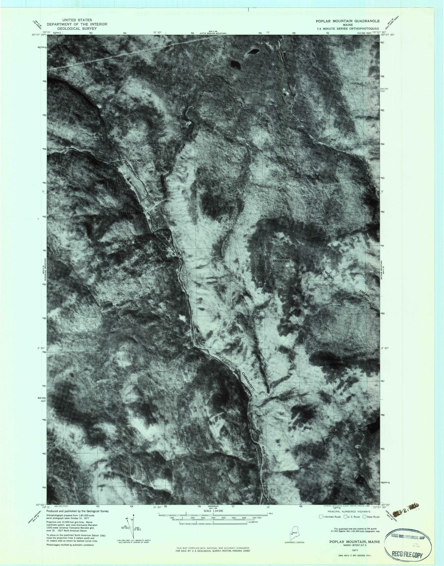
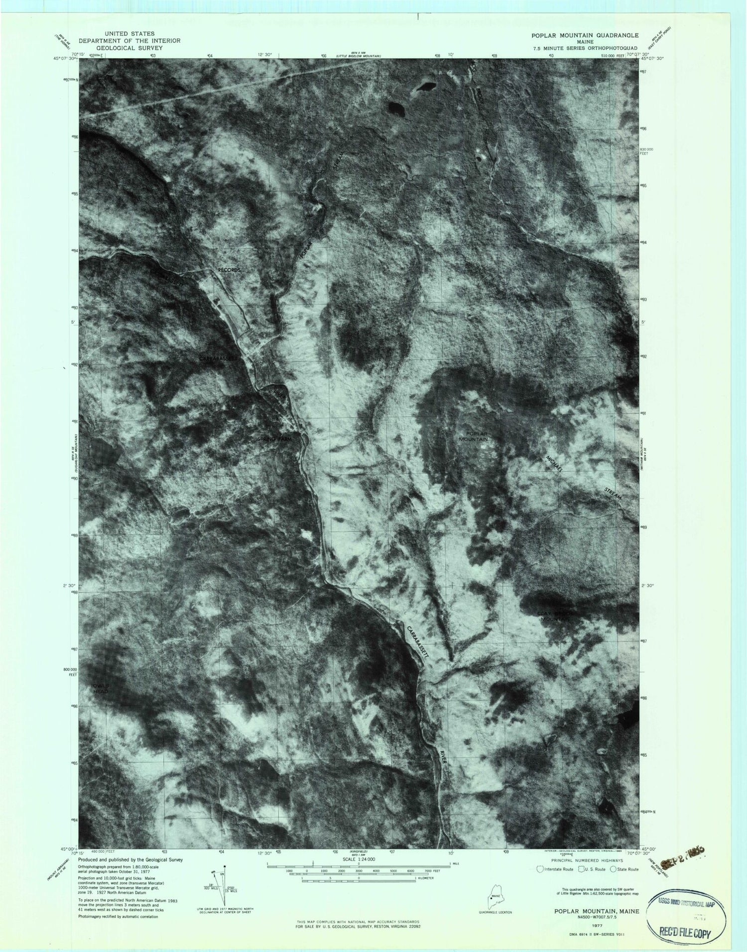
Historical USGS topographic quad map of Poplar Mountain in the state of Maine. Typical map scale is 1:24,000, but may vary for certain years, if available. Print size: 24" x 27"
This quadrangle is in the following counties: Franklin, Somerset.
The map contains contour lines, roads, rivers, towns, and lakes. Printed on high-quality waterproof paper with UV fade-resistant inks, and shipped rolled.
Contains the following named places: Butler Pond, Clay Brook, Clay Brook Mountain, Cold Brook, Grindstone Pond, Hammond Field Brook, Hammond Pond, Hid Pond, Huston Brook, Ira Mountain, Little Poplar Mountain, Owls Head, Poplar Brook, Poplar Mountain, Poplar Stream, Records, Redington Pond, Reed Brook, Shiloh Pond, South Brook, Spring Farm, Carrabassett, Sugarloaf Regional Airport, Gold Brook Dam, Cold Brook, Deer Farm Campground, Poplar Stream Falls, Sugarloaf Area Chamber of Commerce, Valley Crossing, Western Maines Childrens Museum, Carrabassett Valley Volunteer Fire Department Valley Station, Northstar Emergency Medical Services