MyTopo
Classic USGS Porcupine Butte California 7.5'x7.5' Topo Map
Regular price
$16.95
Regular price
Sale price
$16.95
Unit price
per
Couldn't load pickup availability
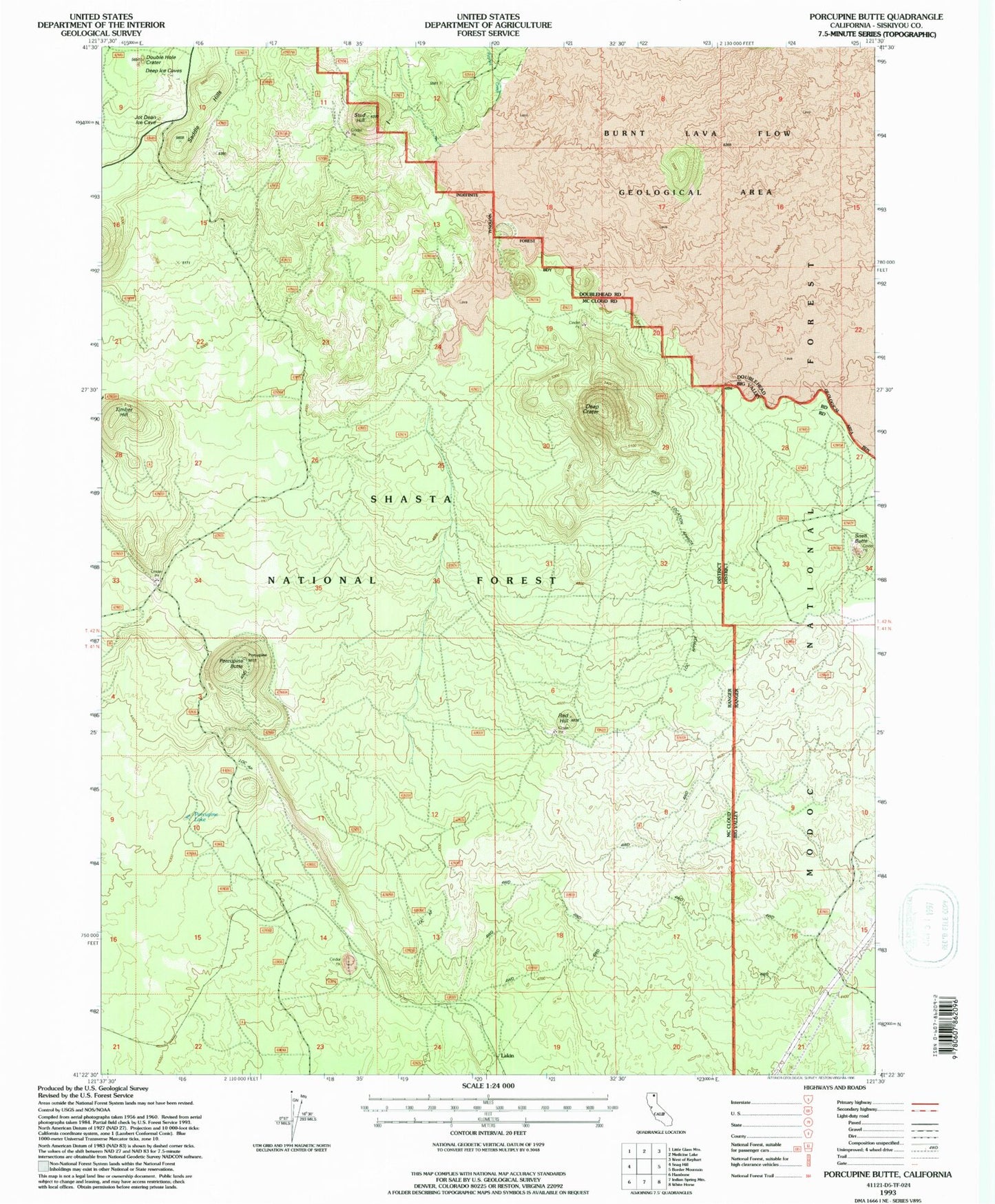
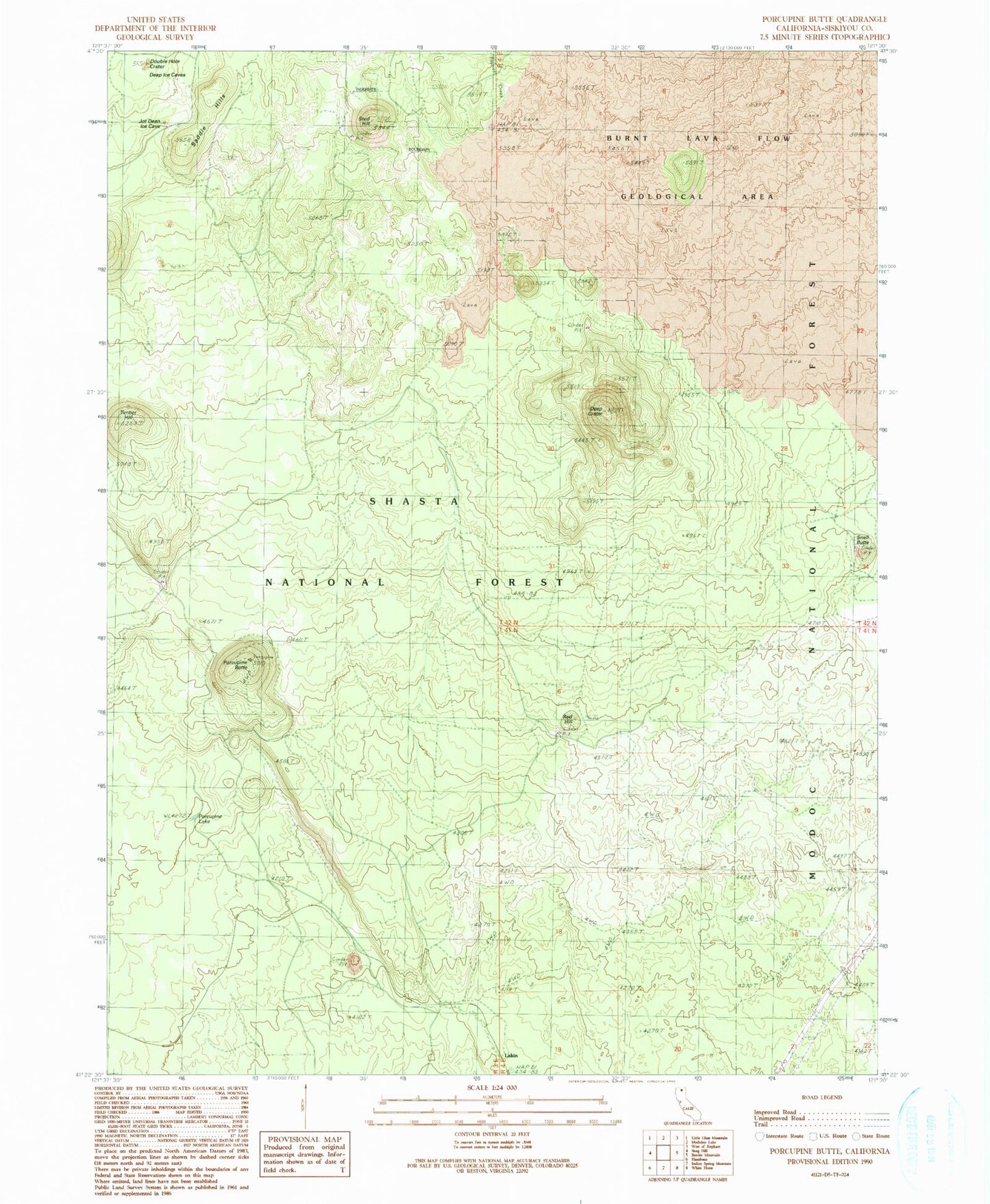
Historical USGS topographic quad map of Porcupine Butte in the state of California. Map scale may vary for some years, but is generally around 1:24,000. Print size is approximately 24" x 27"
This quadrangle is in the following counties: Siskiyou.
The map contains contour lines, roads, rivers, towns, and lakes. Printed on high-quality waterproof paper with UV fade-resistant inks, and shipped rolled.
Contains the following named places: Deep Crater, Double Hole Crater, Half Mile Tube, Lakin, Paynes Creek, Porcupine Butte, Porcupine Lake, Porcupine Lava Tube, Red Hill, Saddle Hills, Snell Butte, Stud Hill, Timber Hill