MyTopo
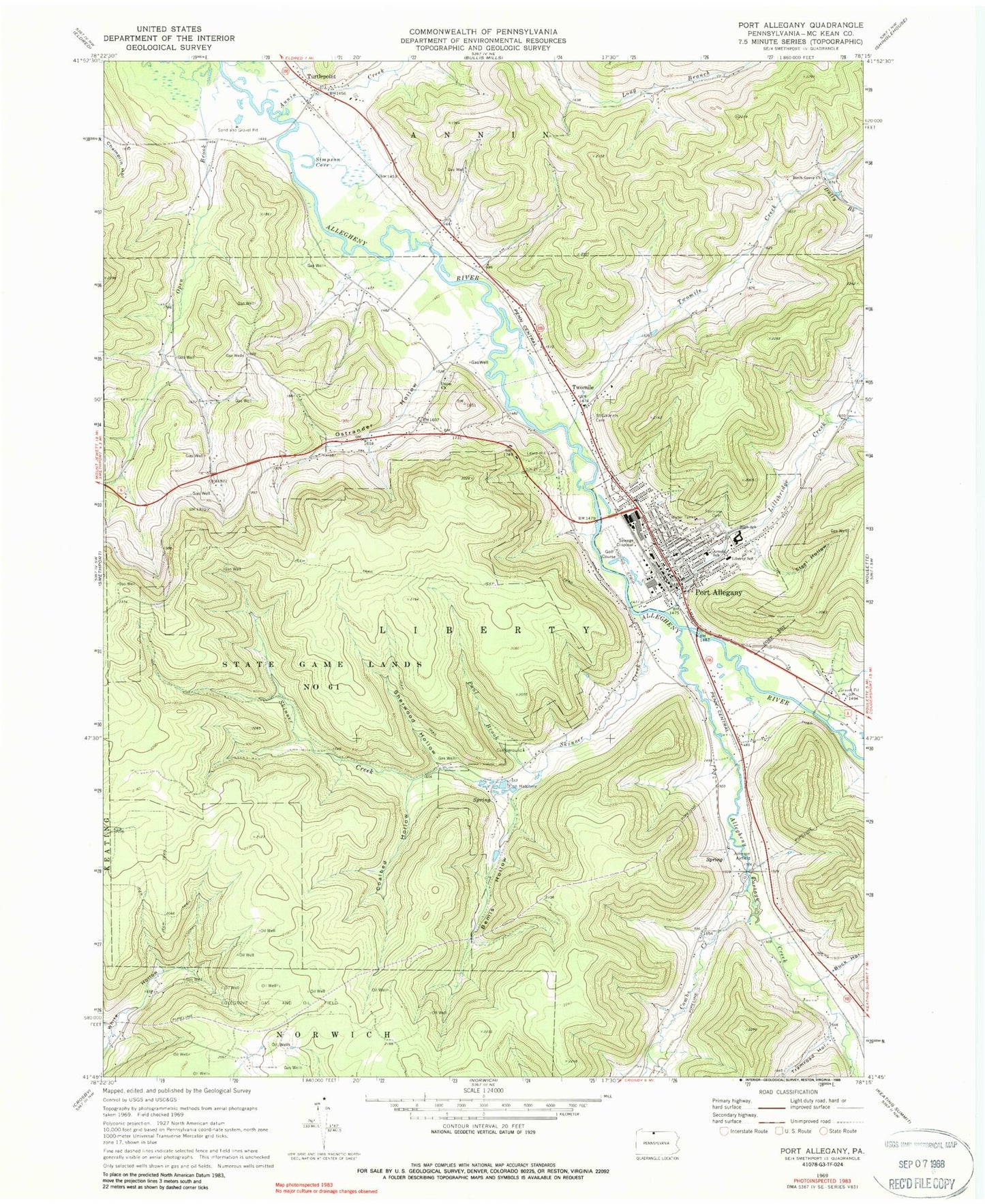
Classic USGS Port Allegany Pennsylvania 7.5'x7.5' Topo Map
Couldn't load pickup availability
Historical USGS topographic quad map of Port Allegany in the state of Pennsylvania. Typical map scale is 1:24,000, but may vary for certain years, if available. Print size: 24" x 27"
This quadrangle is in the following counties: McKean.
The map contains contour lines, roads, rivers, towns, and lakes. Printed on high-quality waterproof paper with UV fade-resistant inks, and shipped rolled.
Contains the following named places: Annin Creek, Arnold School, Bemis Hollow, Birch Grove Church, Buck Hollow, Campbell Hollow, Coalbed Hollow, Colegrove Gas and Oil Field, Combs Creek, Dolly Brook, Fairview Cemetery, Lewis Hill Cemetery, Liberty School, Lillibridge Creek, McAllister Hollow, Ostrander Hollow, Paul Brook, Port Allegany, Saint Gabriels Cemetery, Sherwood Hollow, Skinner Creek, State Game Lands Number 61, Steel Hollow, Tramroad Hollow, Turtlepoint, Twomile Creek, Union Church, Simpson Cove, Johnson Airport, Allegheny Portage Creek, Upper Open Brook School (historical), Lower Open Brook School, Twomile School, Long Run, Twomile, Turtle Point Station, Borough of Port Allegany, Township of Liberty, Port Allegany Fire Department - Station 3, Port Area Ambulance Service, Port Allegany Post Office, Turtlepoint Post Office, Port Allegany Borough Police Department, Grimes District Cemetery, Port Allegany Cemetery


