MyTopo
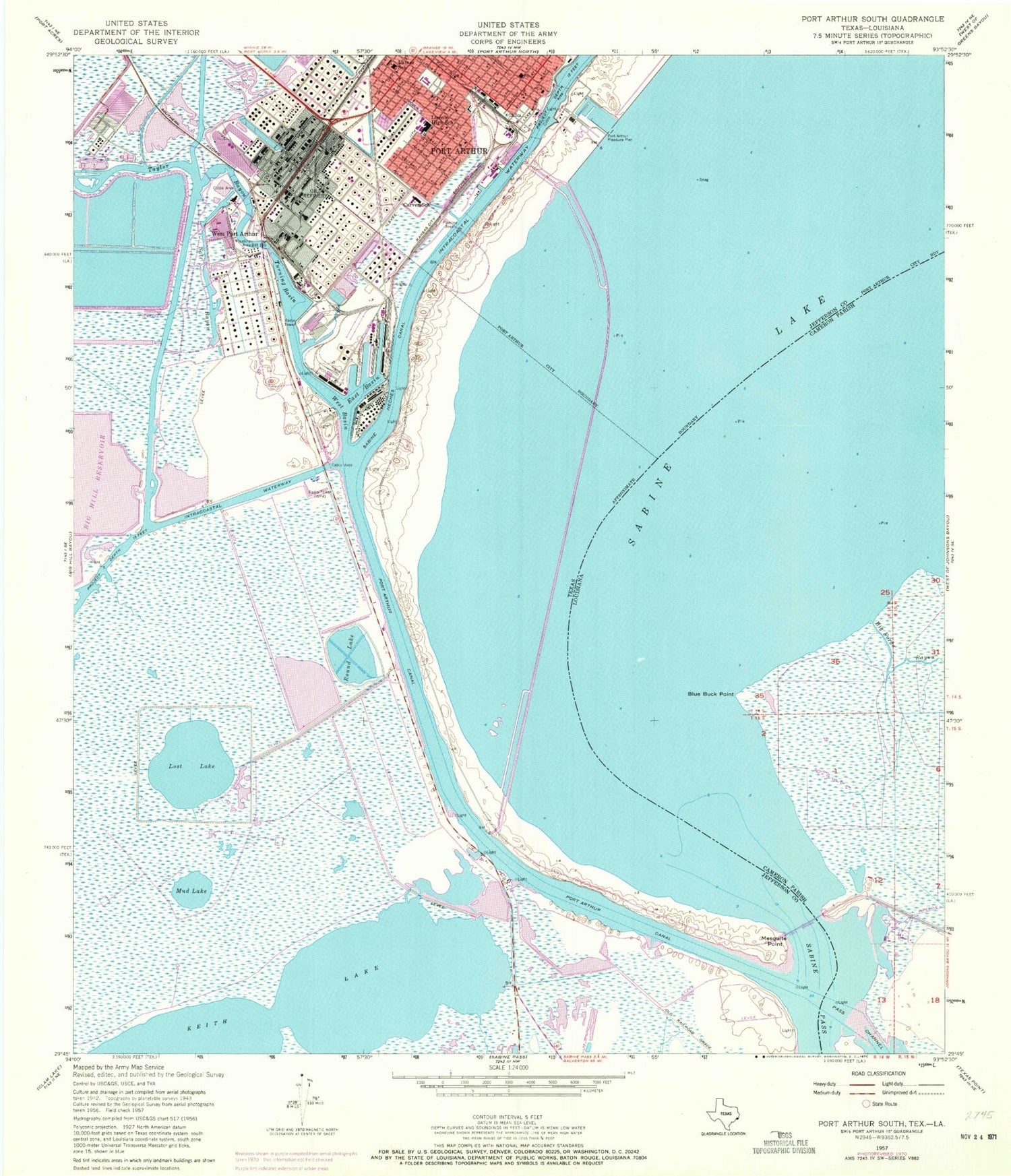
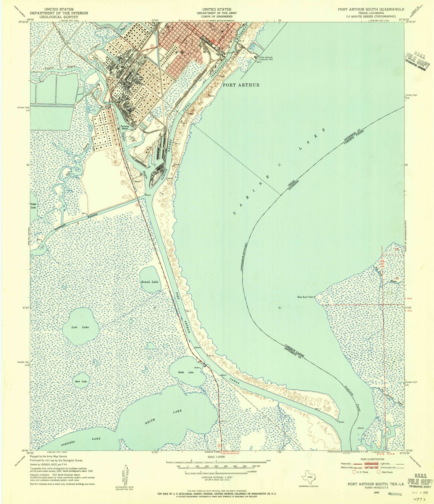
Classic USGS Port Arthur South Texas 7.5'x7.5' Topo Map
Couldn't load pickup availability
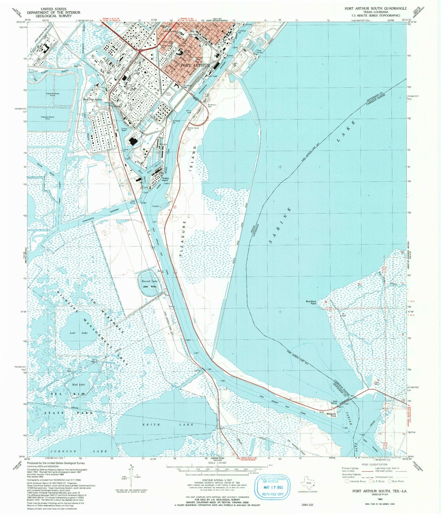
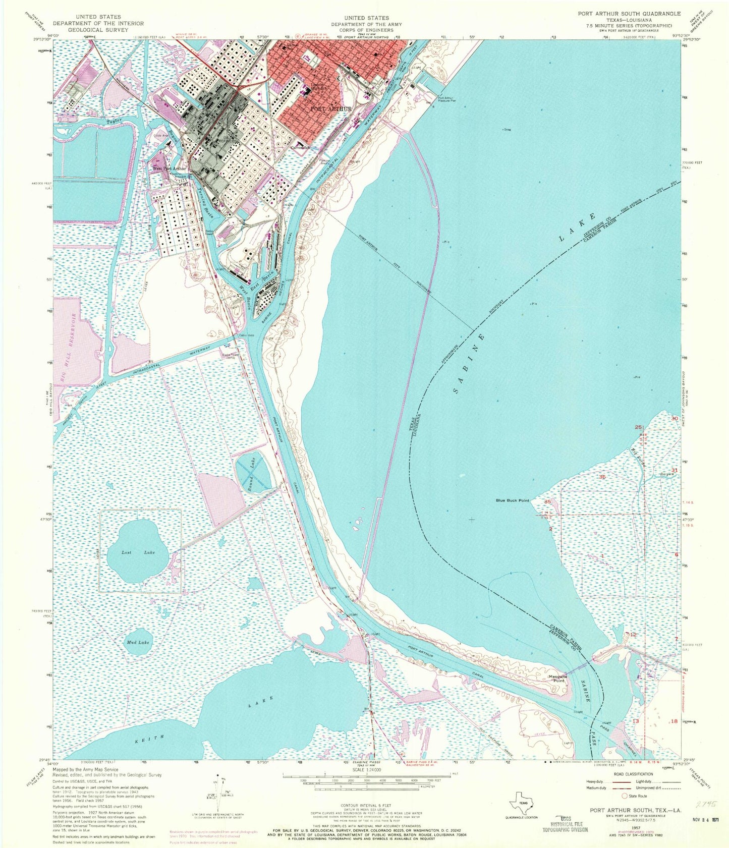
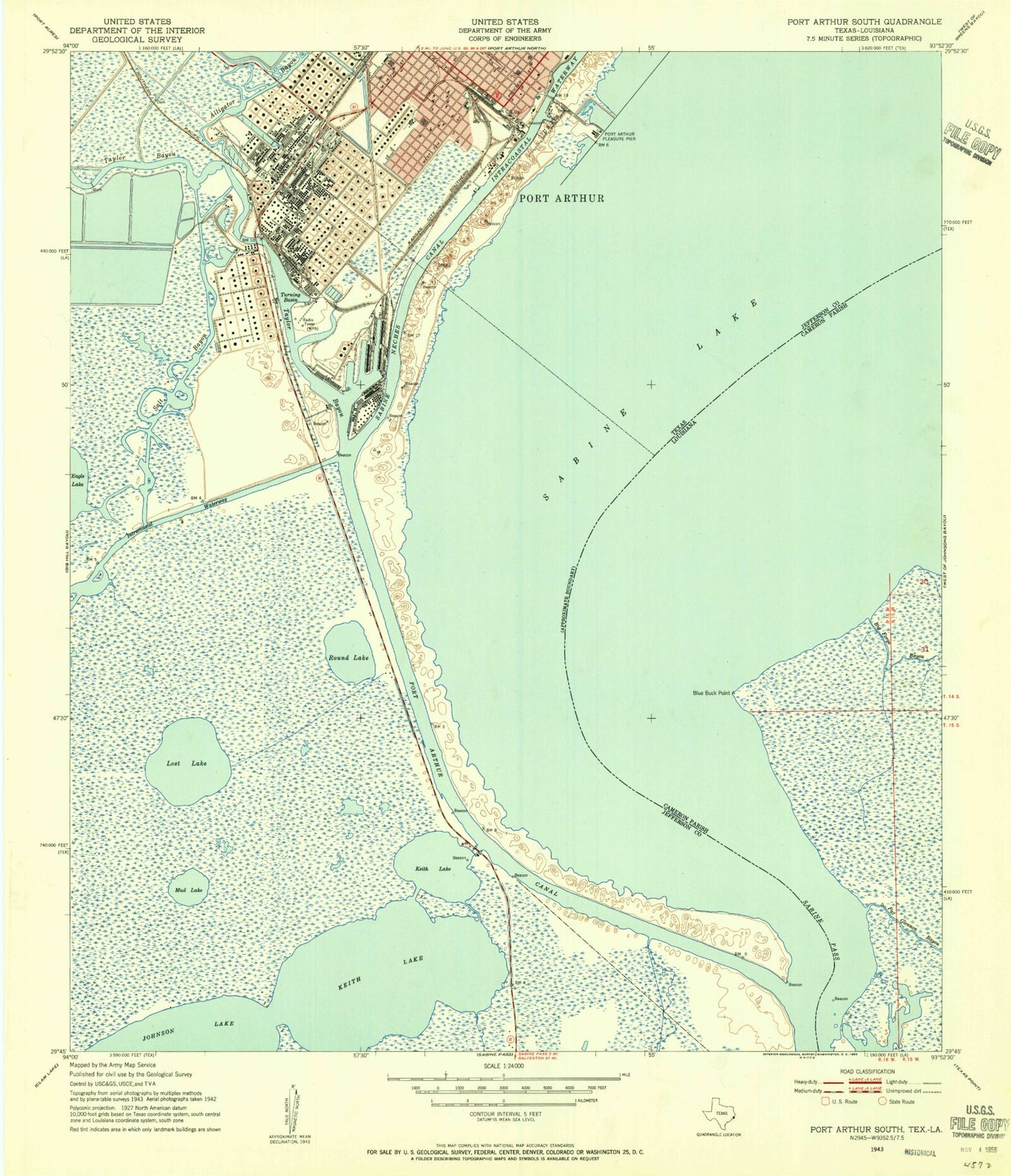
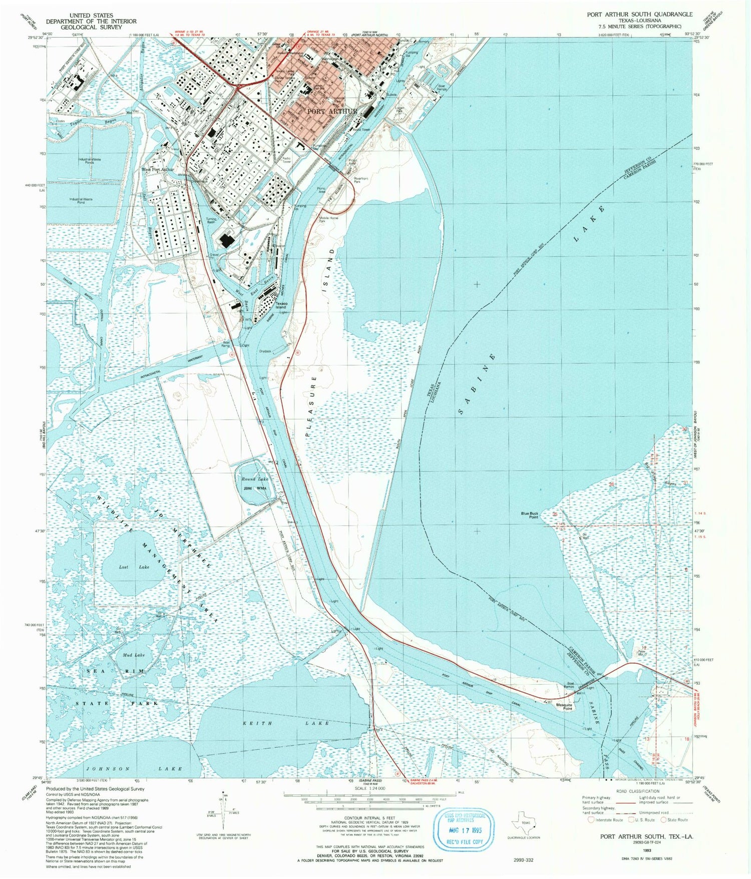
Historical USGS topographic quad map of Port Arthur South in the states of Texas, Louisiana. Map scale may vary for some years, but is generally around 1:24,000. Print size is approximately 24" x 27"
This quadrangle is in the following counties: Cameron, Jefferson.
The map contains contour lines, roads, rivers, towns, and lakes. Printed on high-quality waterproof paper with UV fade-resistant inks, and shipped rolled.
Contains the following named places: Alligator Bayou, Barnes Memorial Methodist Church, Bethel Temple Church of God in Christ, Big Forge Bayou, Blue Buck Point, Blue Buck Pont Gas Field, Carter Chapel Church, Carver School, East Basin, First Christian Faith Missionary Baptist Church, Greater Macedonia Baptist Church, Holiness Pentecostal Sanctified Church, Israel Chapel African Methodist Episcopal Church, Jefferson County Constable's Office Precinct 2, Jefferson County Constable's Office Precinct 8, Jefferson County Sheriff's Office, Johnson Lake, Keith Lake, Lamar School, Lincoln High School, Logan Park, Lost Lake, Mesquite Point, Mud Lake, Museum of the Gulf Coast, Pleasure Island Marina, Port Arthur City Hall, Port Arthur Fire Department Central Station, Port Arthur Fire Department Station 2, Port Arthur Pleasure Pier, Port Arthur Police Department, Port Arthur Post Office, Riverfront Park, Rock Island Baptist Church, Round Lake, Sacred Heart Catholic Church, Saint John Baptist Church, Saint Luke Baptist Church, Saint Paul United Methodist Church, Salt Bayou, Taylor Bayou, Taylor Bayou Outfall Canal, Texaco Island, Texaco Lease Park, Washington Elementary School, Washington Park, West Basin, West Port Arthur, Westside Park, White Rose Church of God in Christ
