MyTopo
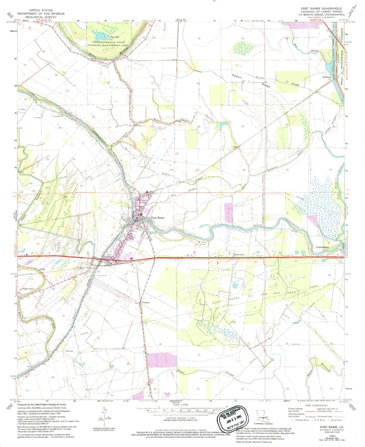
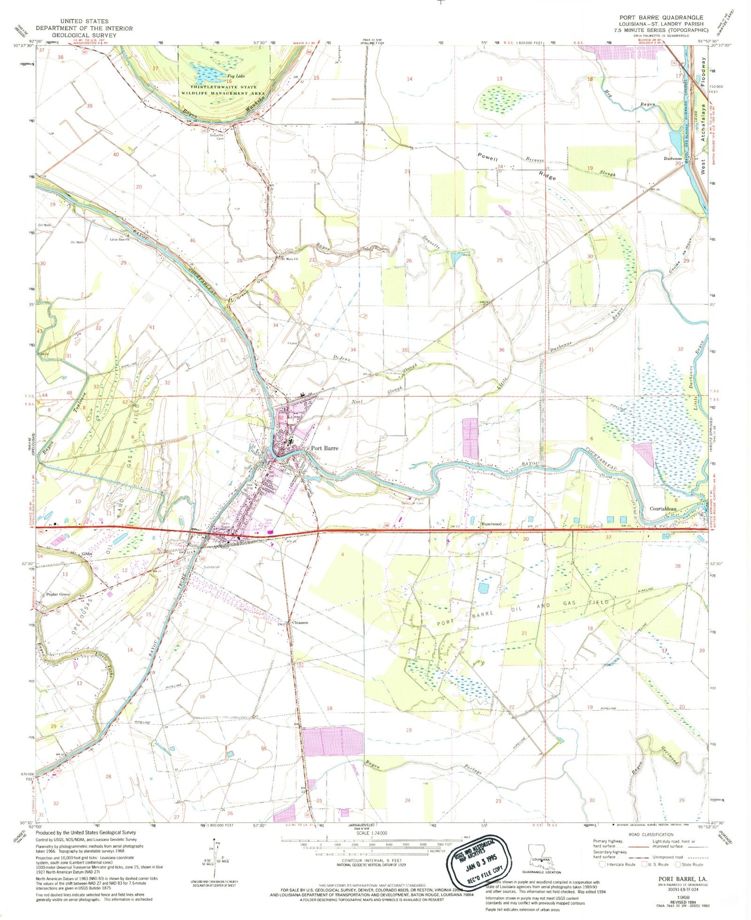
Classic USGS Port Barre Louisiana 7.5'x7.5' Topo Map
Couldn't load pickup availability
Historical USGS topographic quad map of Port Barre in the state of Louisiana. Map scale may vary for some years, but is generally around 1:24,000. Print size is approximately 24" x 27"
This quadrangle is in the following counties: St. Landry.
The map contains contour lines, roads, rivers, towns, and lakes. Printed on high-quality waterproof paper with UV fade-resistant inks, and shipped rolled.
Contains the following named places: Bayou Little Teche, Bayou Saquette, Bayou Toulouse, Becasse Slough, Bobby Lejeune Mobile Home Park, Chiasson, Coulee de Houx, Courtableau, Darbonne, De Viller Cemetery, DeJean Slough, First Baptist Church, Foy Lake, Frisbie, Gibbs, Good Shepherd Montessori School, Grand Gulley, Hazelwood, Hog Bayou, House of Prayer, Kerne, Little Darbonne Bayou, Little Zion Church, Noel Slough, Pollingue Airport, Poplar Grove, Port Barre, Port Barre Elementary School, Port Barre Fire Department, Port Barre Head Start Center School, Port Barre High School, Port Barre Middle School, Port Barre Oil and Gas Field, Port Barre Police Department, Port Barre Post Office, Port Barre Wastewater Treatment Plant, Powell Ridge, Prairie Baasse Coulee, Saint Mary Church, Saint Peter Baptist Church, Saquette Lower Waxia Cemetery, T & M Airfield, Town of Port Barre, Yankee Field, ZIP Code: 70577


