MyTopo
Classic USGS Port Bolivar Texas 7.5'x7.5' Topo Map
Regular price
$16.95
Regular price
Sale price
$16.95
Unit price
per
Couldn't load pickup availability
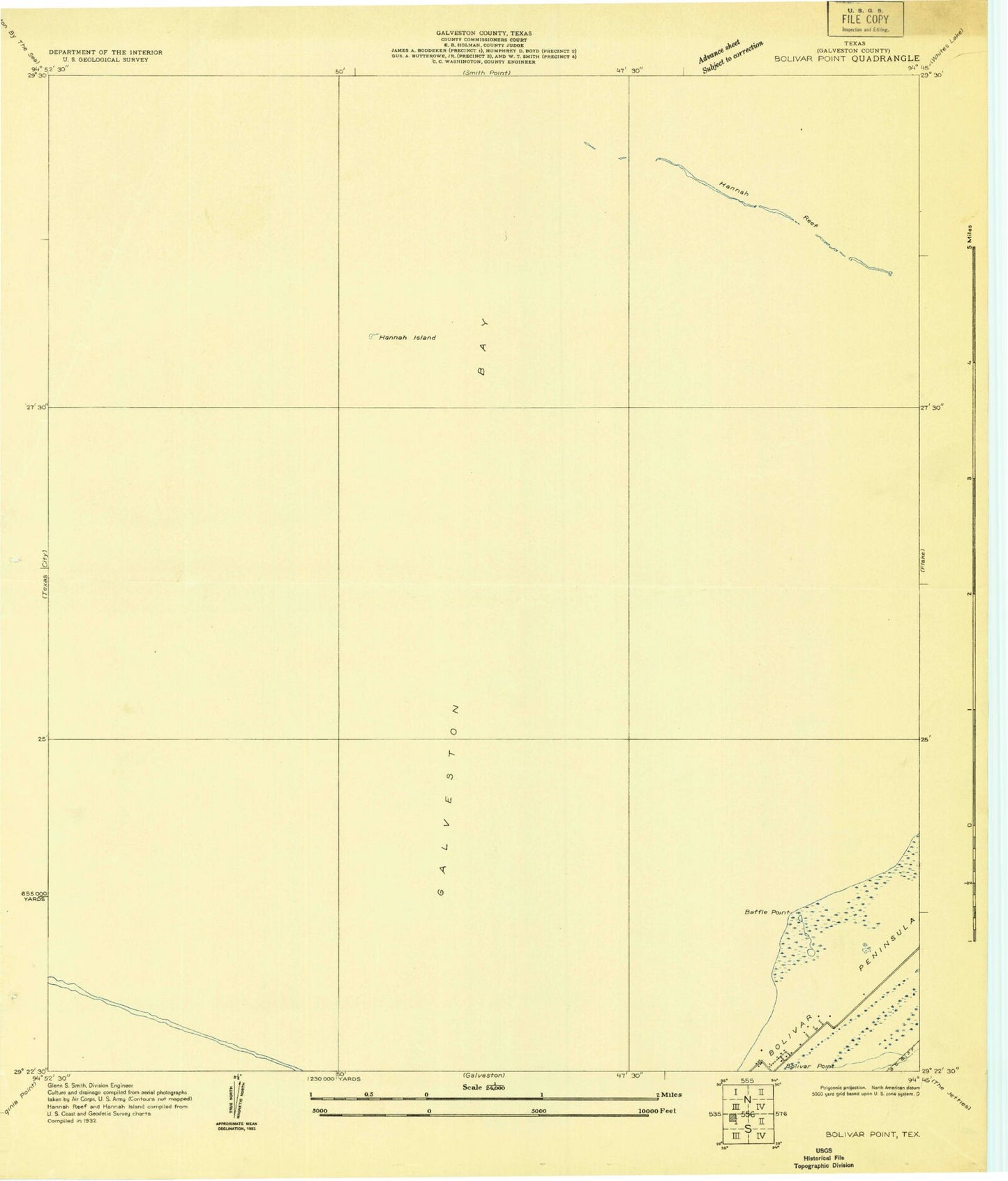
Historical USGS topographic quad map of Port Bolivar in the state of Texas. Map scale may vary for some years, but is generally around 1:24,000. Print size is approximately 24" x 27"
This quadrangle is in the following counties: Galveston.
The map contains contour lines, roads, rivers, towns, and lakes. Printed on high-quality waterproof paper with UV fade-resistant inks, and shipped rolled.
Contains the following named places: Baffle Point, Galveston County, Halfmoon Shoal, Hanna Island, Hanna Reef, Houston Oil and Minerals Port Bolivar Heliport, Houston Oil and Minerals Port Bolivar Number 2 Heliport, Port Bolivar, Port Bolivar Post Office, Port Bolivar Volunteer Fire Department, Texas City Dike