MyTopo
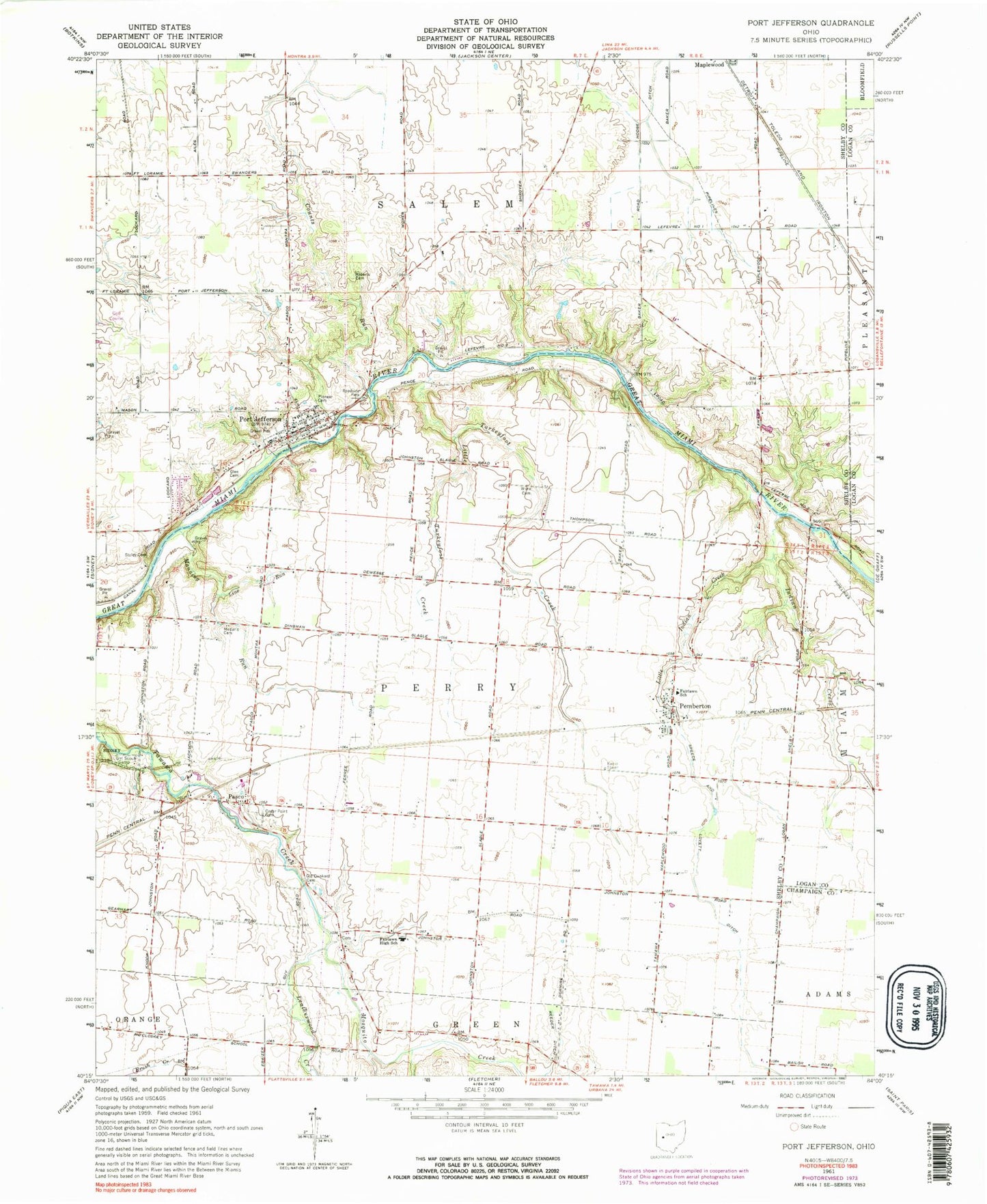
Classic USGS Port Jefferson Ohio 7.5'x7.5' Topo Map
Couldn't load pickup availability
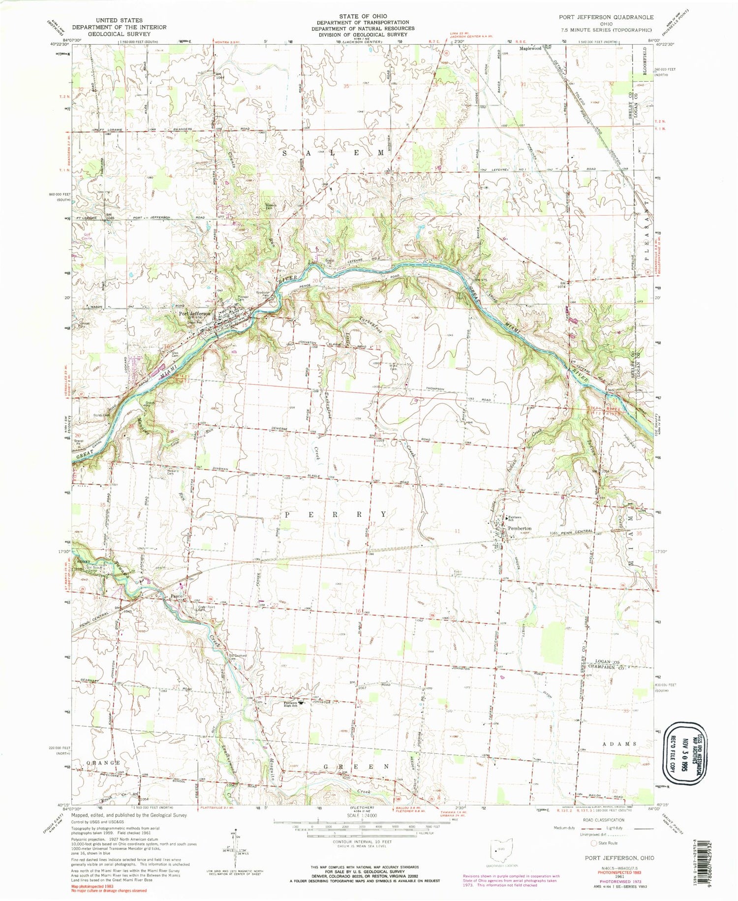
Historical USGS topographic quad map of Port Jefferson in the state of Ohio. Typical map scale is 1:24,000, but may vary for certain years, if available. Print size: 24" x 27"
This quadrangle is in the following counties: Champaign, Logan, Shelby.
The map contains contour lines, roads, rivers, towns, and lakes. Printed on high-quality waterproof paper with UV fade-resistant inks, and shipped rolled.
Contains the following named places: Cedar Point Cemetery, Counts Run, Fairlawn High School, Glen Cemetery, Indian Creek, Leatherwood Creek, Little Indian Creek, Manning Run, Medaris Cemetery, Dunkard Cemetery, Pioneer Cemetery, Reeder Ditch, Roberts Cemetery, Staley Cemetery, Ward Cemetery, Pasco, Pemberton, Allen School (historical), Carmony School (historical), Lockard School (historical), School Number 3 (historical), School Number 3 (historical), School Number 4 (historical), School Number 5 (historical), School Number 6 (historical), School Number 7 (historical), Walnut Grove School (historical), Port Jefferson, Little Turkeyfoot Creek, Line Run, Mosquito Creek, Turkeyfoot Creek, Pasco United Methodist Church, Port Jefferson United Methodist Church, Port Jefferson School, Fairlawn Elementary School, Township of Perry, Township of Salem, Pasco Post Office (historical), Pemberton Post Office, Port Jefferson Post Office, Village of Port Jefferson, Port Jefferson Community Fire Company, Perry Port Salem Rescue, Mill Valley Farms, Port Jefferson Police Department


