
MyTopo
Classic USGS Port Norris New Jersey 7.5'x7.5' Topo Map
Couldn't load pickup availability
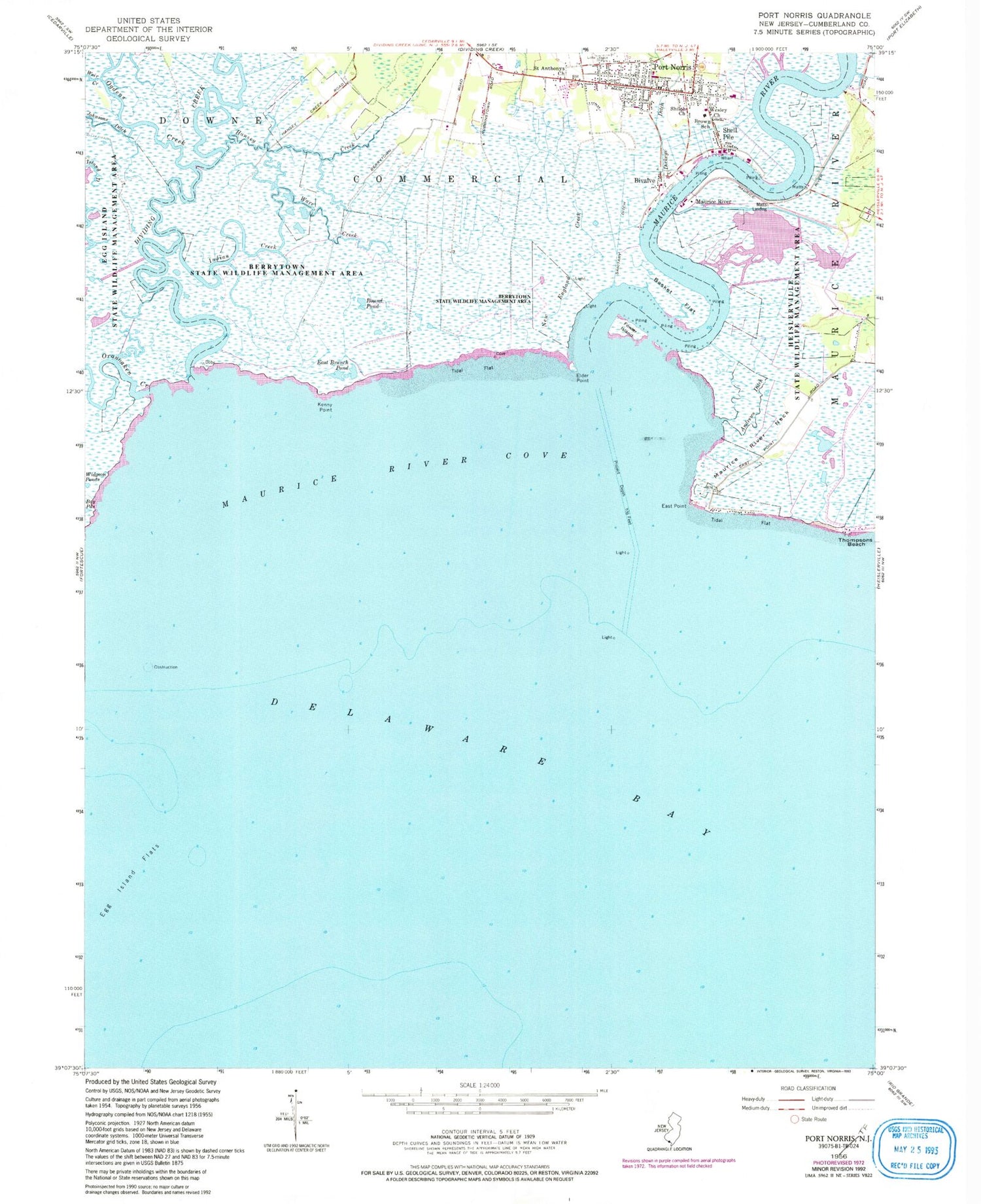
Historical USGS topographic quad map of Port Norris in the state of New Jersey. Map scale may vary for some years, but is generally around 1:24,000. Print size is approximately 24" x 27"
This quadrangle is in the following counties: Cape May, Cumberland.
The map contains contour lines, roads, rivers, towns, and lakes. Printed on high-quality waterproof paper with UV fade-resistant inks, and shipped rolled.
Contains the following named places: Andrews Ditch, Basket Flat, Bay Ponds, Bivalve, Bowkers Run, Brown School, Dickeys Ditch, Dividing Creek, East Branch Pond, East Point, Elder Point, Fowler Island, Hansey Creek, Heislerville Fish and Wildlife Management Area, Indian Creek, Island Ditch, Kenny Point, Matts Landing, Maurice River, Maurice River Cove, Maurice River Neck, New England Creek, Ogdens Creek, Oranoaken Creek, Port Norris, Port Norris Fire Company 1, Port Norris Middle School, Port Norris Post Office, Round Pond, Saint Anthonys Church, Shell Pile, Shiloh Church, Ware Creek, Wave Creek, Wesley Church


