MyTopo
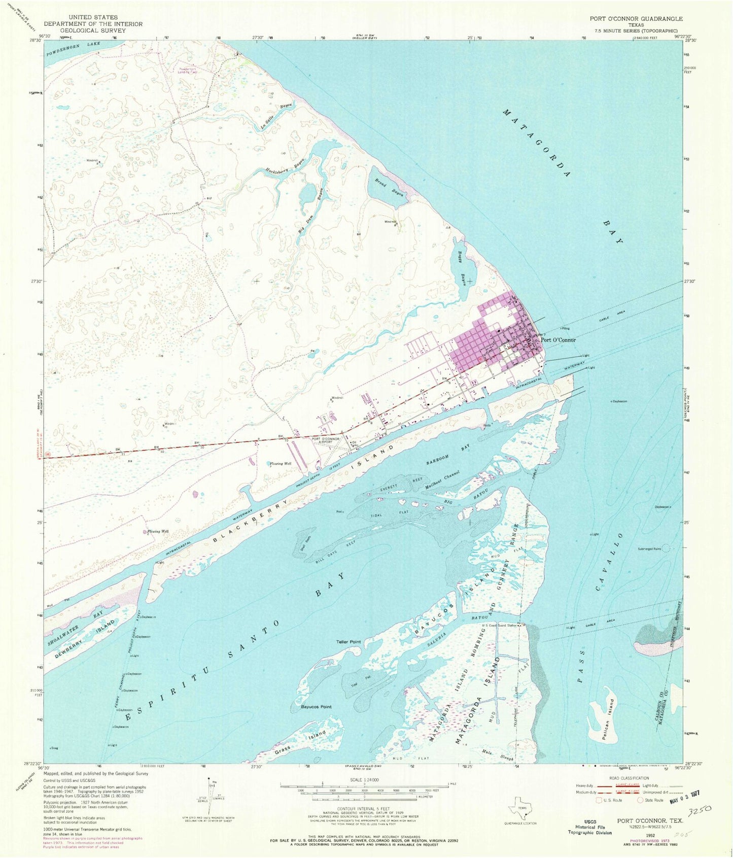
Classic USGS Port O'Connor Texas 7.5'x7.5' Topo Map
Couldn't load pickup availability
Historical USGS topographic quad map of Port O'Connor in the state of Texas. Map scale may vary for some years, but is generally around 1:24,000. Print size is approximately 24" x 27"
This quadrangle is in the following counties: Calhoun, Matagorda.
The map contains contour lines, roads, rivers, towns, and lakes. Printed on high-quality waterproof paper with UV fade-resistant inks, and shipped rolled.
Contains the following named places: Alligator Head Boat Sheds Marina, Barroom Bay, Bayucos Island, Bayucos Point, Big Bayou, Big Dam Bayou, Bill Days Reef, Blackberry Island, Boggy Bayou, Broad Bayou, Everett Reef, Fishermans Cut, Grass Island, HHI-Port O'Connor Heliport, Huckleberry Bayou, LaSalle Bayou, Little Marys Cut, Live Oaks Bayou, Mailboat Channel, Mailboat Point, Mitchells Cut, Mule Slough, Pass Cavallo, Pelican Island, Phi Heliport, Port O'Connor, Port O'Connor Base, Port O'Connor Census Designated Place, Port O'Connor Elementary School, Port O'Connor Post Office, Port O'Connor Private Airport, Port O'Connor Volunteer Fire Department, Saluria, Saluria Bayou, Teller Point, Whitakers Bayou, ZIP Code: 77982


