MyTopo
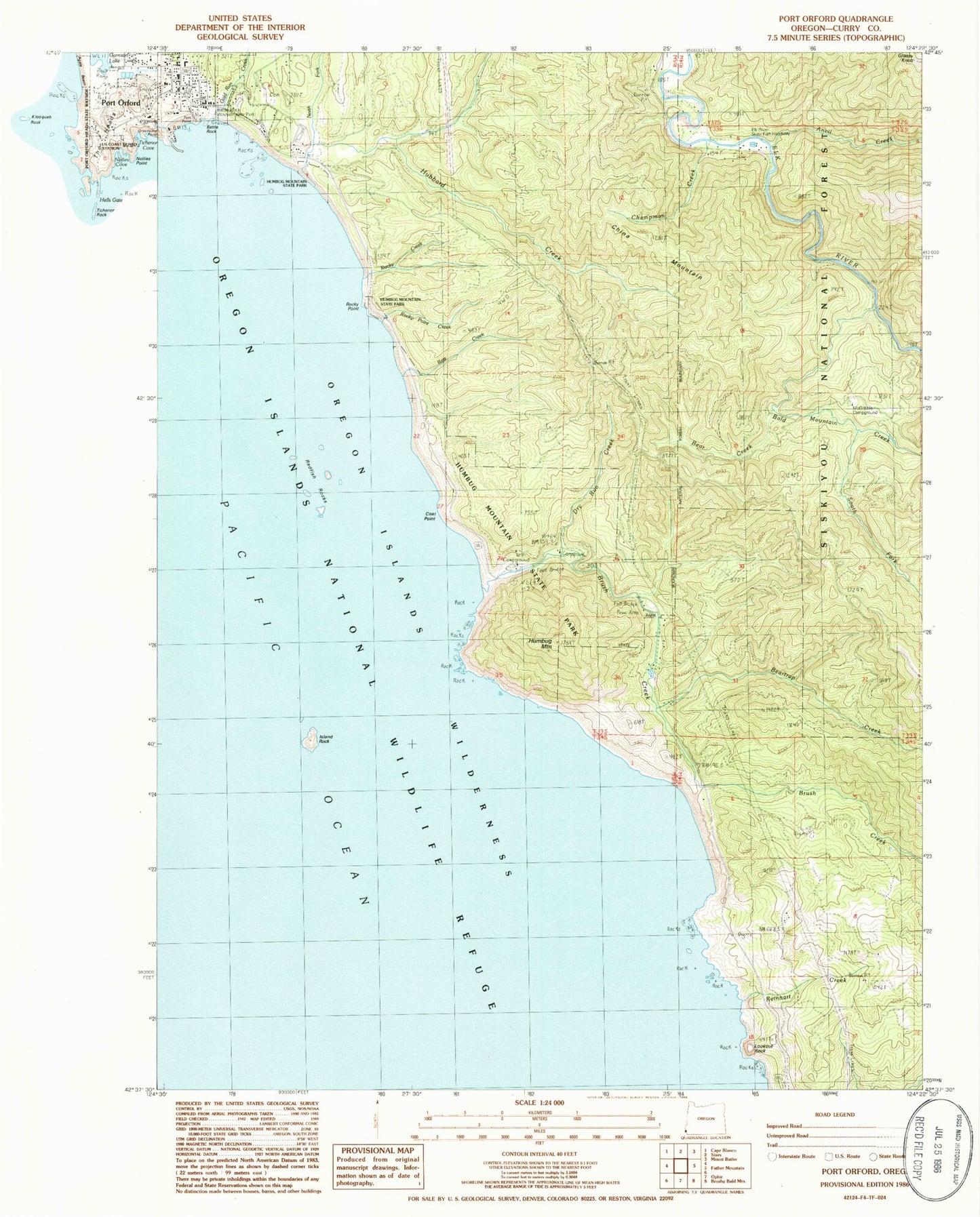
Classic USGS Port Orford Oregon 7.5'x7.5' Topo Map
Couldn't load pickup availability
Historical USGS topographic quad map of Port Orford in the state of Oregon. Map scale may vary for some years, but is generally around 1:24,000. Print size is approximately 24" x 27"
This quadrangle is in the following counties: Curry.
The map contains contour lines, roads, rivers, towns, and lakes. Printed on high-quality waterproof paper with UV fade-resistant inks, and shipped rolled.
Contains the following named places: Anvil Creek, Bald Mountain Creek, Battle Rock, Battle Rock Arch, Battle Rock Wayside Park, Bear Creek, Beartrap Creek, Blaine Post Office, Brush Creek, Champman Creek, China Mountain, City of Port Orford, Coal Point, Coon Creek, Driftwood Elementary School, Dry Run Creek, Elk River Fish Hatchery Boat Ramp, Elk River State Fish Hatchery, Fort Orford, Fort Point, Gold Run Creek, Grassy Knob, Graveyard Point, Hubbard Creek, Humbug Mountain, Humbug Mountain State Park, Island Rock, Lookout Rock, McGribble Campground, McGribble Guard Station, North Fork Hubbard Creek, Port Orford, Port Orford Harbor Boat Hoist and Dock, Port Orford Post Office, Port Orford Public Library, Redfish Rocks, Reinhart Creek, Retz Creek, Rocky Creek, Rocky Point, Rocky Point Creek, South Fork Bald Mountain Creek


