MyTopo
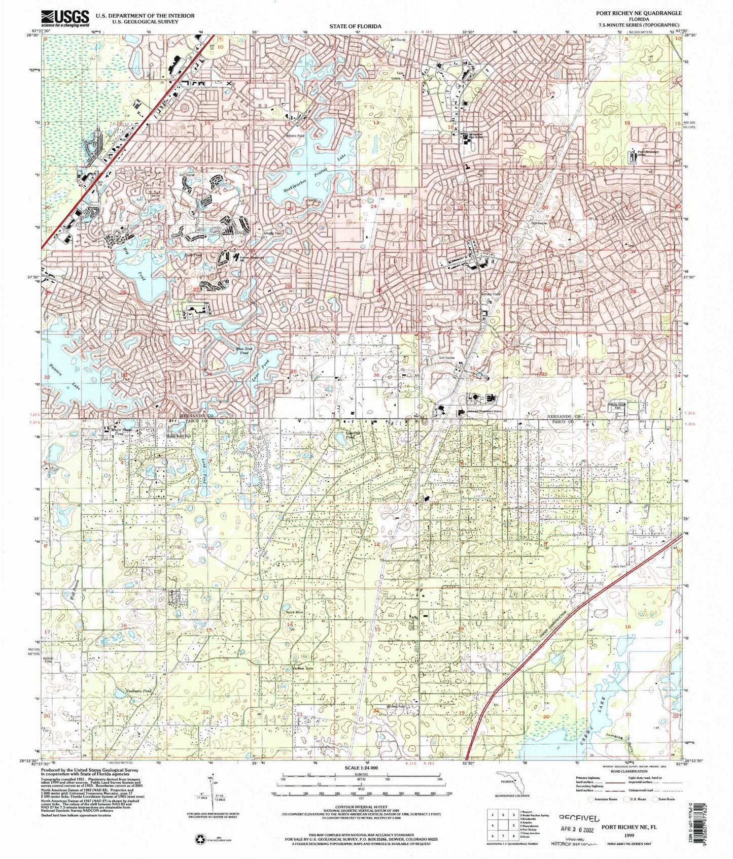
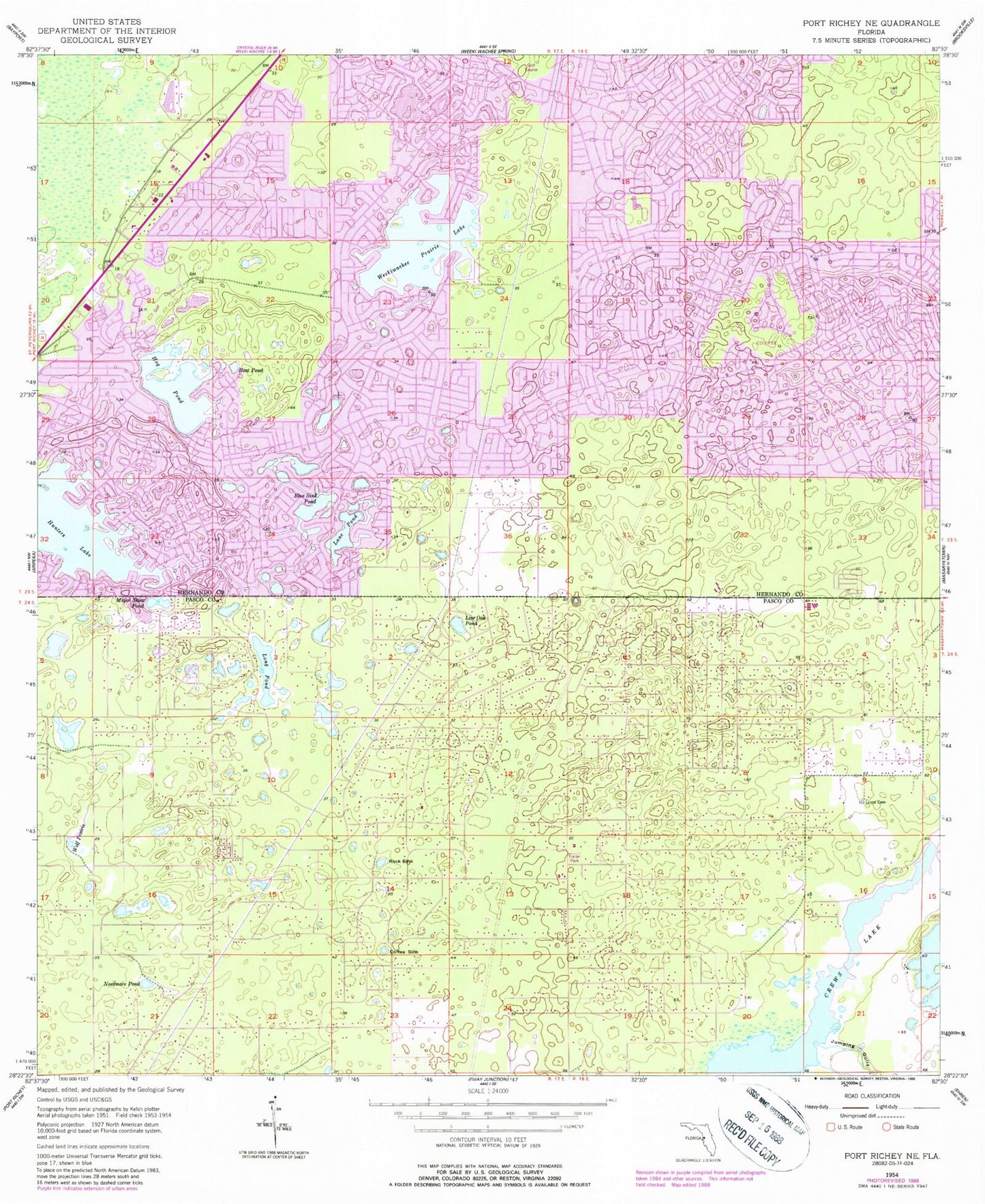
Classic USGS Port Richey NE Florida 7.5'x7.5' Topo Map
Couldn't load pickup availability
Historical USGS topographic quad map of Port Richey NE in the state of Florida. Typical map scale is 1:24,000, but may vary for certain years, if available. Print size: 24" x 27"
This quadrangle is in the following counties: Hernando, Pasco.
The map contains contour lines, roads, rivers, towns, and lakes. Printed on high-quality waterproof paper with UV fade-resistant inks, and shipped rolled.
Contains the following named places: Blue Sink Pond, Boat Pond, Coffee Sink, Crews Lake, Hog Pond, Hunters Lake, Jumping Gully, Lane Pond, Live Oak Pond, Long Pond, Loyce Cemetery, Major Shear Pond, Needmore Pond, Rock Sink, Weekiwachee Prairie Lake, Weeki Wachee Swamp, Wolf Prairie, State of Florida, Spring Hill, Frank W Springstead High School, Shady Hills Elementary School, Willow Sink, Weekiwachee Woodlands, WLPJ-FM (New Port Richey), WFCE-FM (Tarpon Springs), Shady Hills, Timber Pines, Weeki Wachee Acres, Bayfront Health Spring Hill Hospital, Pasco County Fire Rescue Station 20, Hernando County Fire Rescue Station 2, Hernando County Sheriff's Office Substation, Hernando County Sheriff's Office District 2, Shady Hills Census Designated Place, Spring Hill Census Designated Place, Timber Pines Census Designated Place, Faith Community Church, Calvary Church of the Nazarene, Mary Giella Elementary School, Explorer K-8 School, Challenger K-8 School of Science and Mathematics, Suncoast Elementary School, East Shady Hills Census Designated Place, West Shady Hills Census Designated Place, Pasco County Fire Rescue Station 39, Hernando County Fire Rescue Station 1, Hernando County Fire Rescue Station 3, Plaza Post Office, Spring Hill Post Office


