MyTopo
Classic USGS Port Royal Virginia 7.5'x7.5' Topo Map
Couldn't load pickup availability
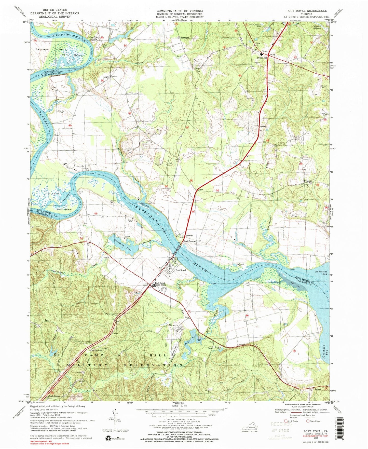
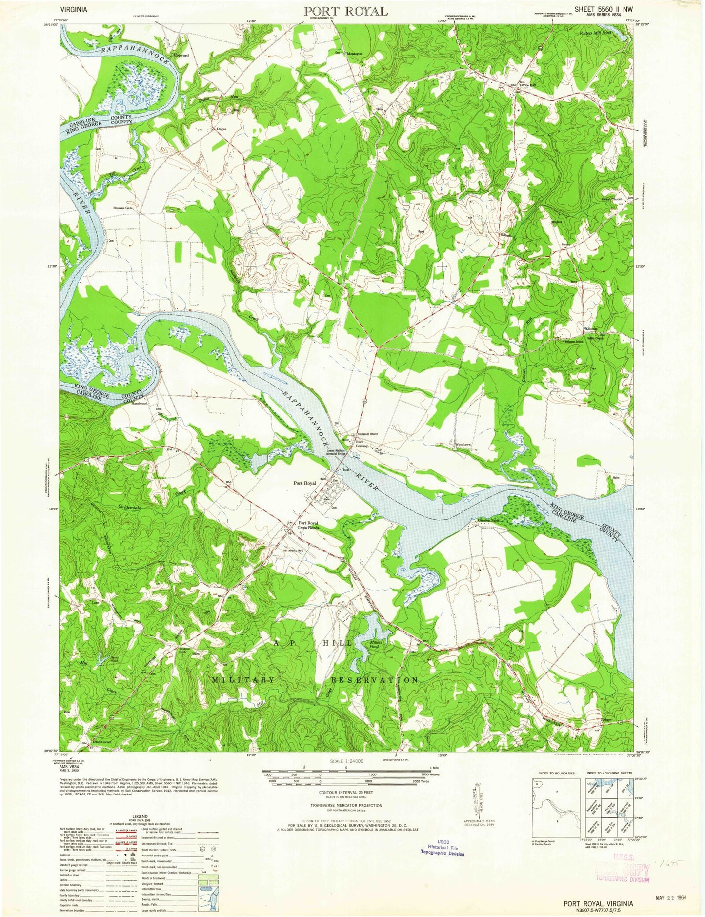
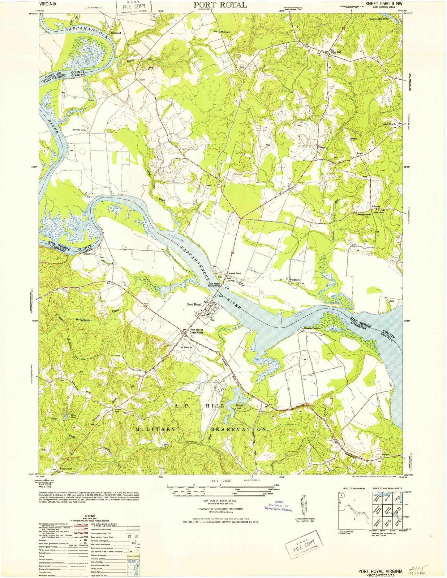
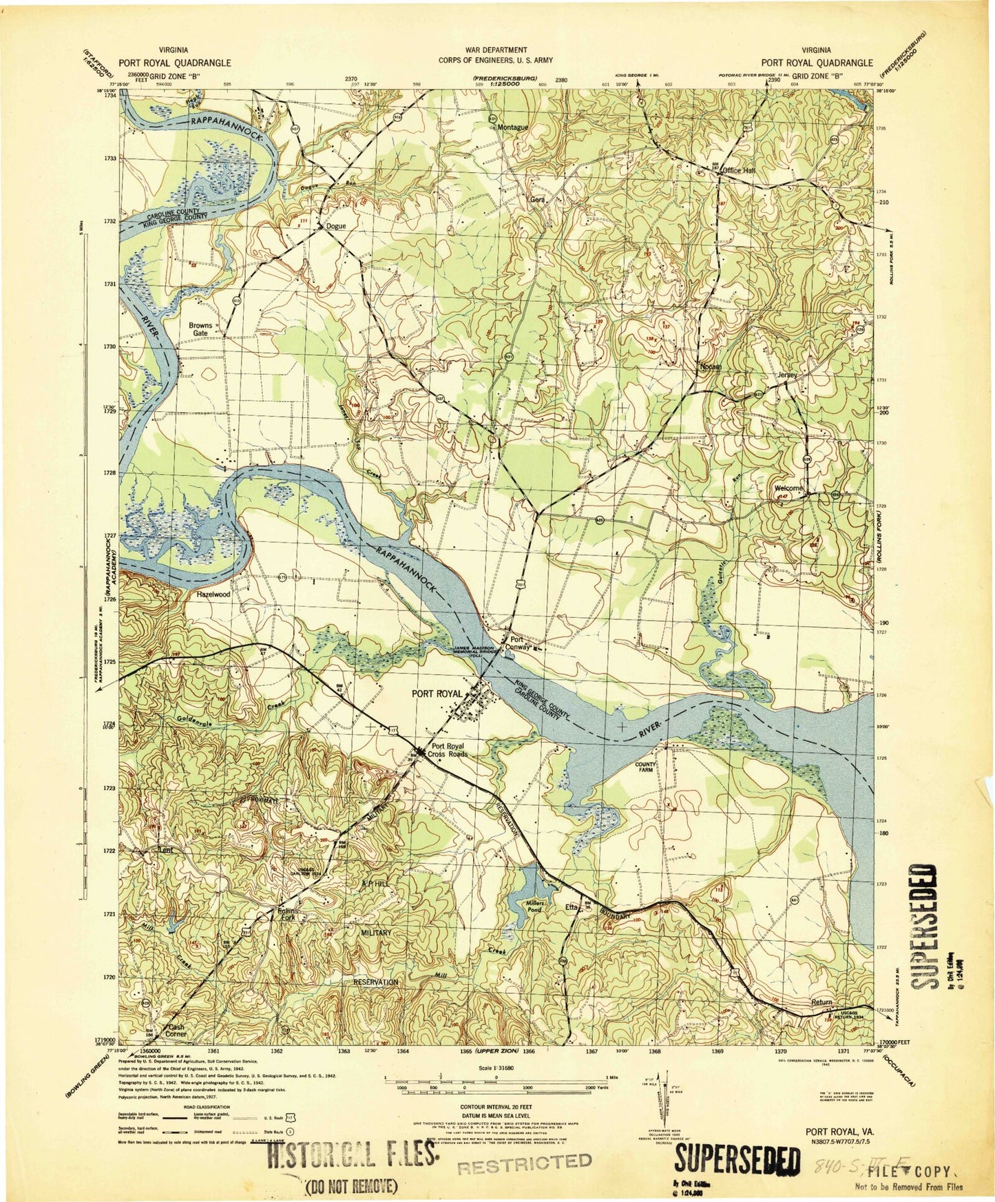
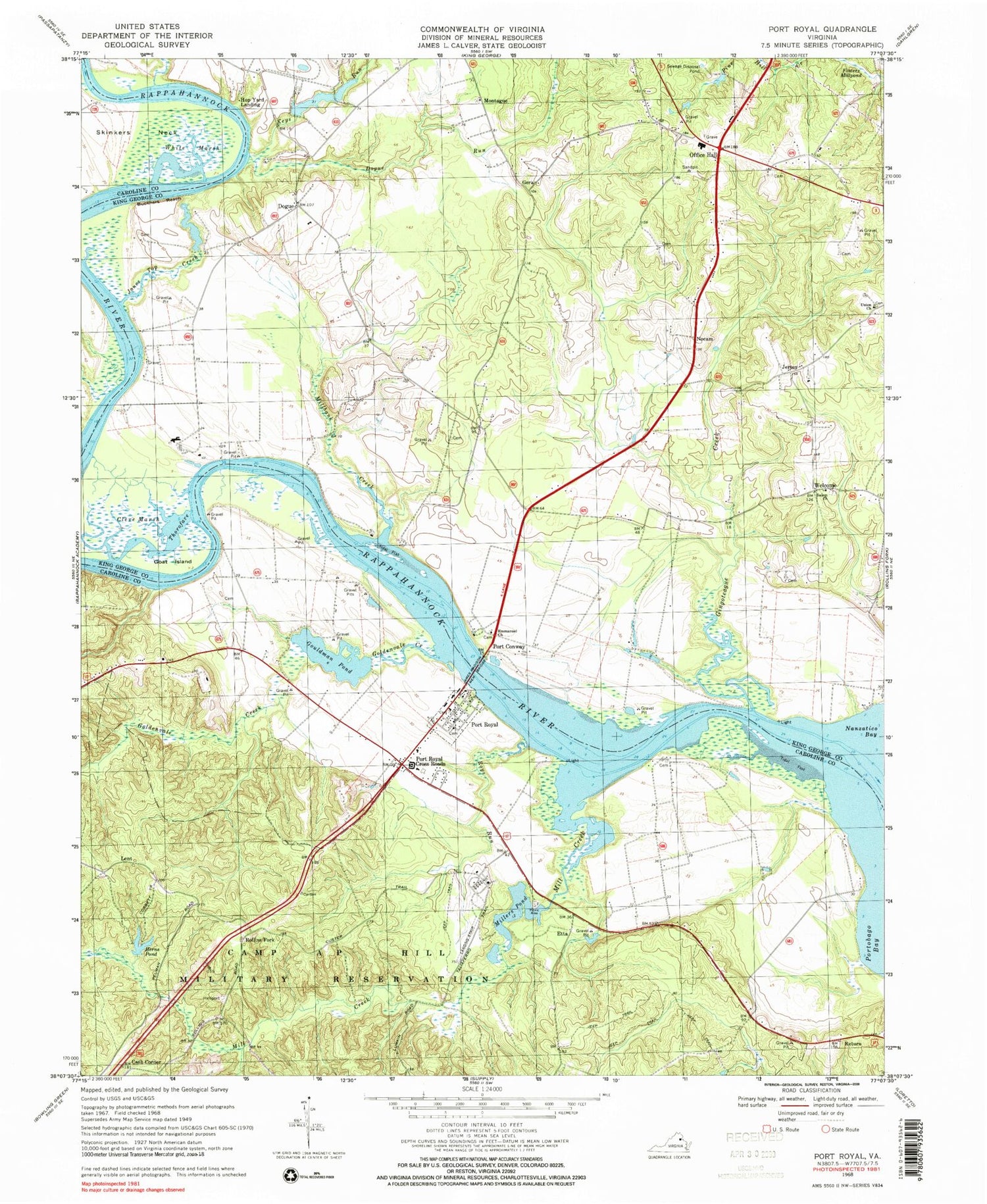
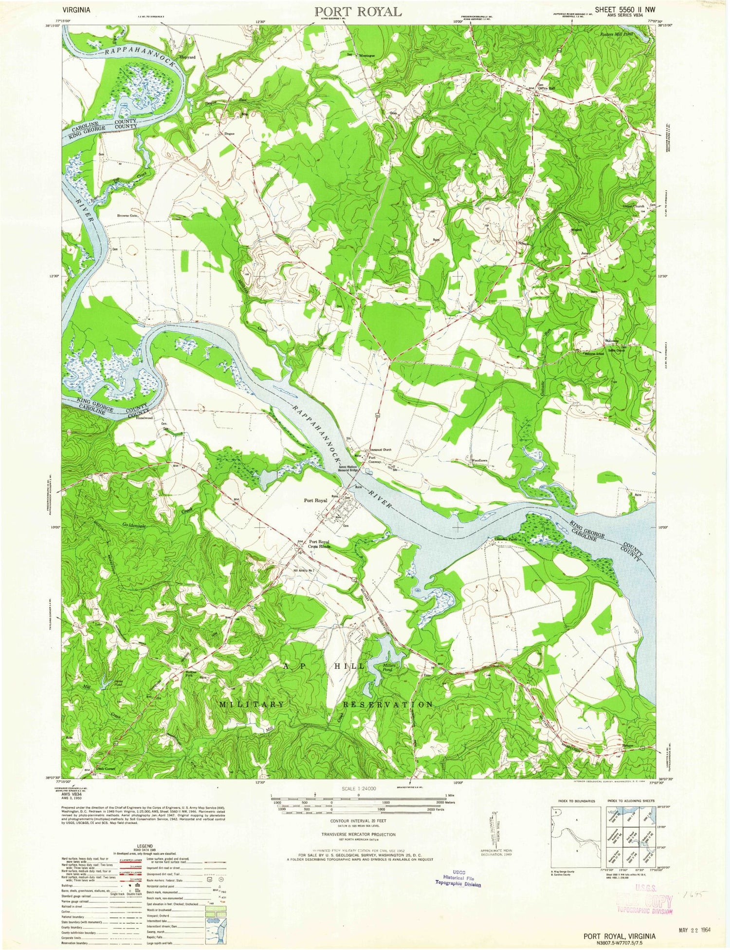
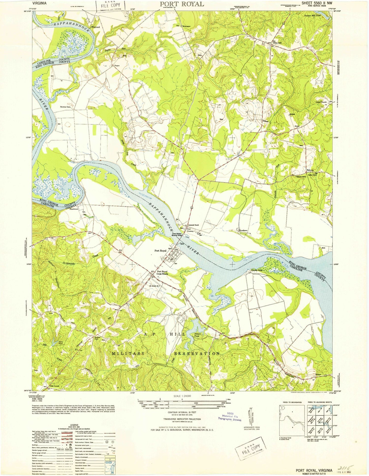
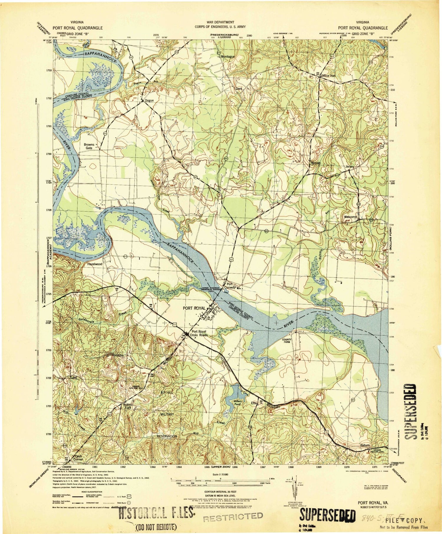
Historical USGS topographic quad map of Port Royal in the state of Virginia. Typical map scale is 1:24,000, but may vary for certain years, if available. Print size: 24" x 27"
This quadrangle is in the following counties: Caroline, King George.
The map contains contour lines, roads, rivers, towns, and lakes. Printed on high-quality waterproof paper with UV fade-resistant inks, and shipped rolled.
Contains the following named places: Buckners Reach, Cleve Marsh, Dogue, Dogue Run, Emmanuel Church, Fosters Millpond, Gingoteague Creek, Goat Island, Goldenvale Creek, Gouldman Pond, James Madison Memorial Bridge, Jones Top Creek, Keys Run, Mill Creek, Millbank Creek, Millers Pond, Nocam, Office Hall, Peumansend Creek, Return, Rollins Fork, Roys Run, Salem Church, Skinkers Neck, Thorofare, Union Church, Welcome, White Marsh, Belle Grove, Cleve, Hop Yard Bar, Gera, Jersey, Port Royal Cross Roads, Carter Short Turn, Jiles Point, Milbank, Hazelwood, Millbank Bar, Acodale, Browns Gate, Park Turn, Park, Mount Reach, Popcastle Turn, Berry Plane Bar, Egghouse Reach, Slipe Reach, Camden, Portobago, Waverly, Mud Folly Bend, Oaken Brow, Gouldmans Dam, Herns Pond Dam, Guest Dam, Guest Pond, Powhatan Airport, Cash Corner, Etta, Hop Yard Landing, Lent, Montague, Port Conway, Port Royal, Herns Pond, Camden, Hazelwood, Waverly, Emmanuel Episcopal Church Cemetery, Montague Baptist Church, Montague Baptist Church Cemetery, Nanzemun Neck, Salem Baptist Church Cemetery, Welcome School (historical), Nanzatico, Caroline County Fire and Rescue / Port Royal Volunteer Fire Department Company 3, Mattaponi Rescue Squad, Town of Port Royal, Dogue Post Office, Jersey Post Office, Port Royal Post Office, Buckners Reach, Cleve Marsh, Dogue, Dogue Run, Emmanuel Church, Fosters Millpond, Gingoteague Creek, Goat Island, Goldenvale Creek, Gouldman Pond, James Madison Memorial Bridge, Jones Top Creek, Keys Run, Mill Creek, Millbank Creek, Millers Pond, Nocam, Office Hall, Peumansend Creek, Return, Rollins Fork, Roys Run, Salem Church, Skinkers Neck, Thorofare, Union Church, Welcome, White Marsh, Belle Grove, Cleve, Hop Yard Bar, Gera, Jersey, Port Royal Cross Roads, Carter Short Turn, Jiles Point, Milbank, Hazelwood, Millbank Bar, Acodale, Browns Gate, Park Turn, Park, Mount Reach, Popcastle Turn, Berry Plane Bar, Egghouse Reach, Slipe Reach, Camden, Portobago, Waverly, Mud Folly Bend, Oaken Brow, Gouldmans Dam, Herns Pond Dam, Guest Dam, Guest Pond, Powhatan Airport, Cash Corner, Etta, Hop Yard Landing, Lent, Montague, Port Conway, Port Royal, Herns Pond, Camden, Hazelwood, Waverly, Emmanuel Episcopal Church Cemetery, Montague Baptist Church, Montague Baptist Church Cemetery, Nanzemun Neck, Salem Baptist Church Cemetery, Welcome School (historical), Nanzatico, Caroline County Fire and Rescue / Port Royal Volunteer Fire Department Company 3, Mattaponi Rescue Squad, Town of Port Royal, Dogue Post Office, Jersey Post Office, Port Royal Post Office, Buckners Reach, Cleve Marsh, Dogue, Dogue Run, Emmanuel Church, Fosters Millpond, Gingoteague Creek, Goat Island, Goldenvale Creek, Gouldman Pond, James Madison Memorial Bridge, Jones Top Creek, Keys Run, Mill Creek, Millbank Creek, Millers Pond, Nocam, Office Hall, Peumansend Creek, Return, Rollins Fork, Roys Run, Salem Church, Skinkers Neck, Thorofare, Union Church, Welcome, White Marsh, Belle Grove, Cleve, Hop Yard Bar, Gera, Jersey, Port Royal Cross Roads, Carter Short Turn, Jiles Point, Milbank, Hazelwood, Millbank Bar, Acodale, Browns Gate, Park Turn, Park, Mount Reach, Popcastle Turn, Berry Plane Bar, Egghouse Reach, Slipe Reach, Camden, Portobago, Waverly, Mud Folly Bend, Oaken Brow, Gouldmans Dam, Herns Pond Dam, Guest Dam, Guest Pond, Powhatan Airport, Cash Corner, Etta, Hop Yard Landing, Lent, Montague, Port Conway, Port Royal, Herns Pond, Camden, Hazelwood, Waverly, Emmanuel Episcopal Church Cemetery, Montague Baptist Church, Montague Baptist Church Cemetery
