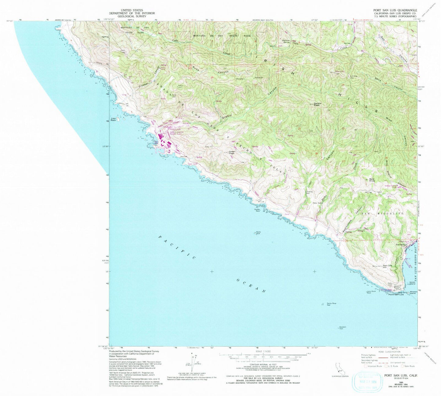
MyTopo
Classic USGS Port San Luis California 7.5'x7.5' Topo Map
Couldn't load pickup availability
Historical USGS topographic quad map of Port San Luis in the state of California. Map scale may vary for some years, but is generally around 1:24,000. Print size is approximately 24" x 27"
This quadrangle is in the following counties: San Luis Obispo.
The map contains contour lines, roads, rivers, towns, and lakes. Printed on high-quality waterproof paper with UV fade-resistant inks, and shipped rolled.
Contains the following named places: Bald Knob, Crowbar Canyon, Diablo Canyon, Diablo Canyon Power Plant, Double Rock, Glenrose Spring, Green Peak, Harford Pier, Irish Canyon, Irish Hills, Lion Rock, Little Irish Canyon, Lone Black Rock, Mount Buchon, Pecho Creek, Pecho Rock, Point San Luis, Port San Luis, Rattlesnake Canyon, Ruda Canyon, Saddle Peak, San Luis Hill, San Luis Obispo Light Station, Santa Rosa Reef, Smith Island, Tunnel Point, Vineyard Canyon, Westdahi Rock, Whalers Island