MyTopo
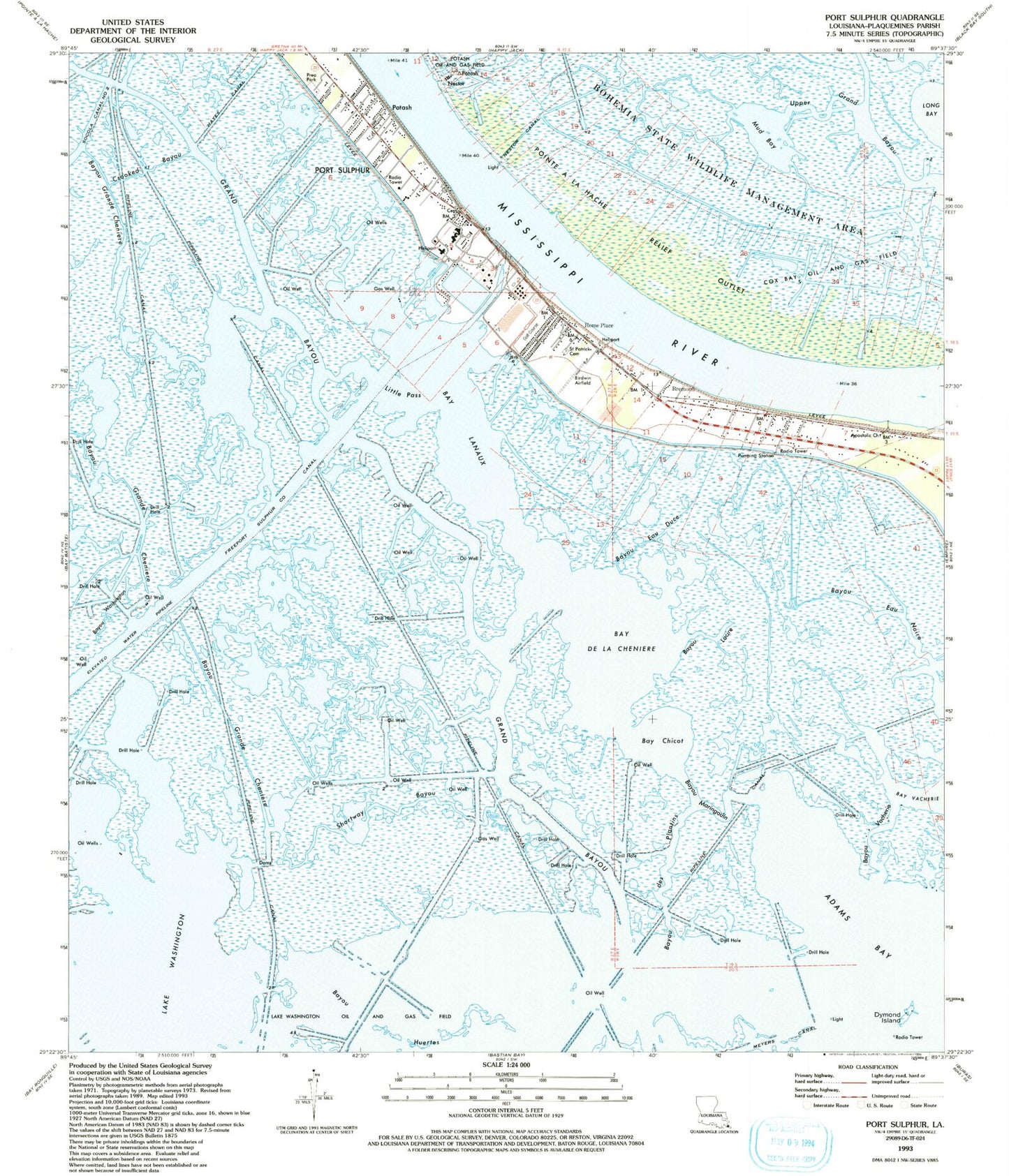
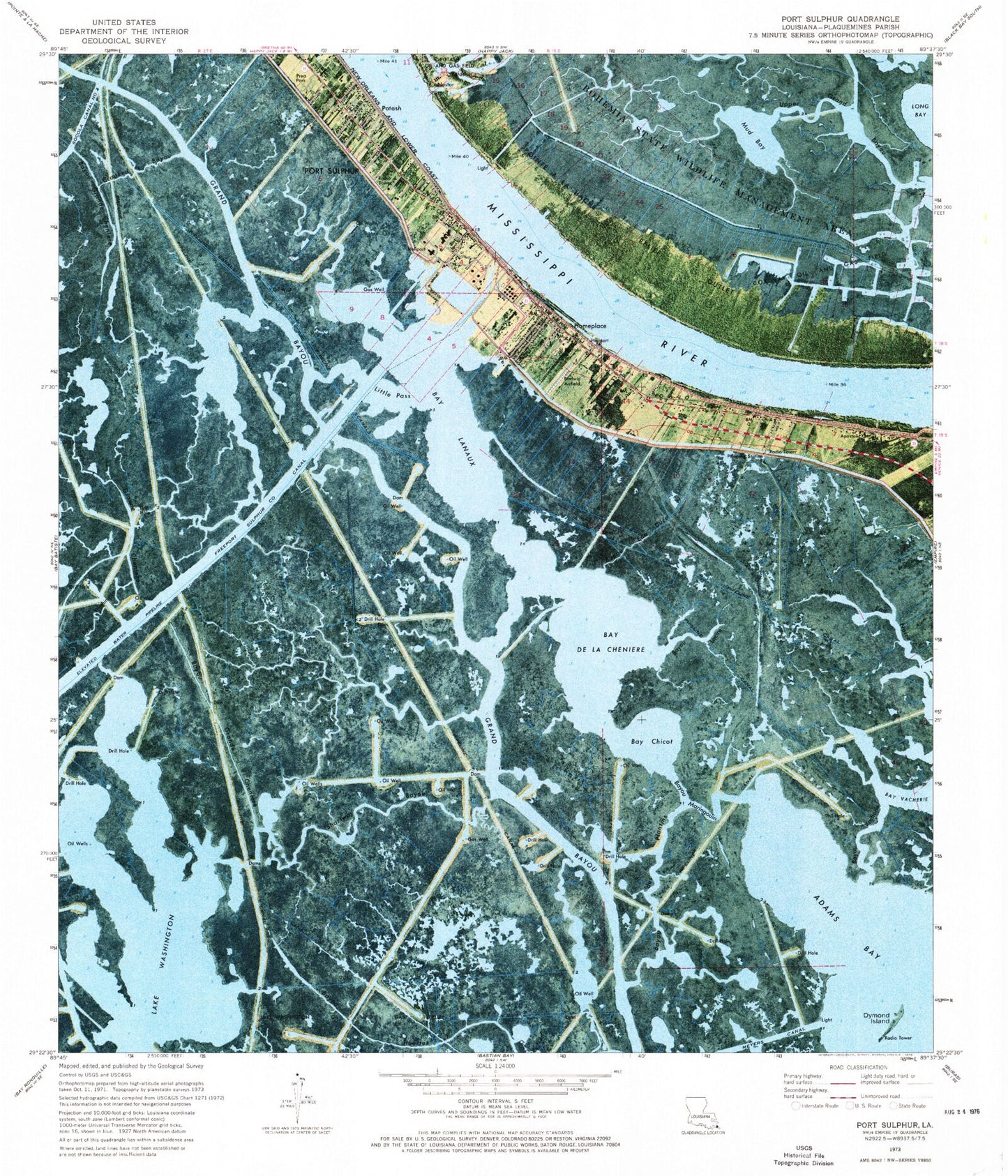
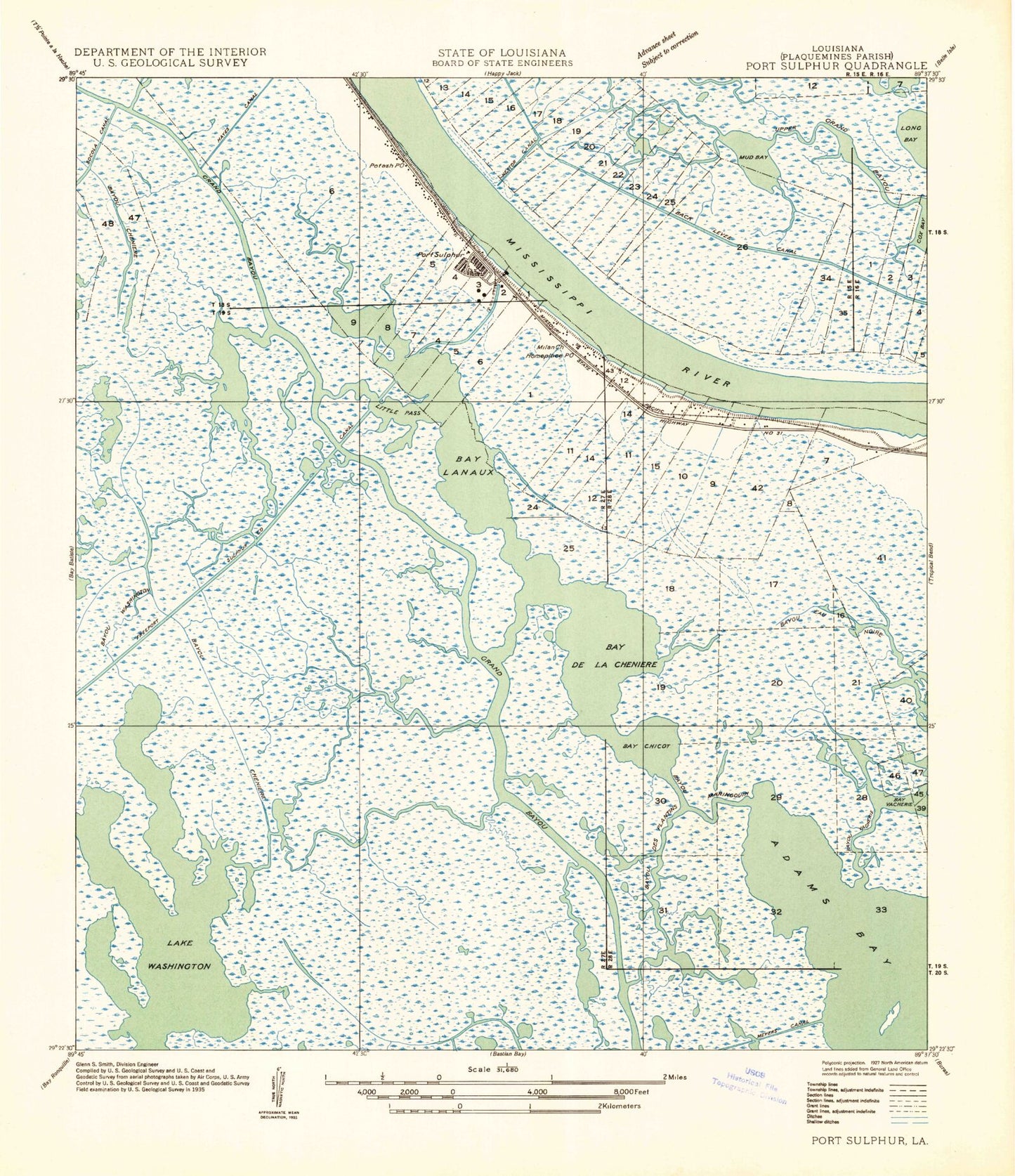
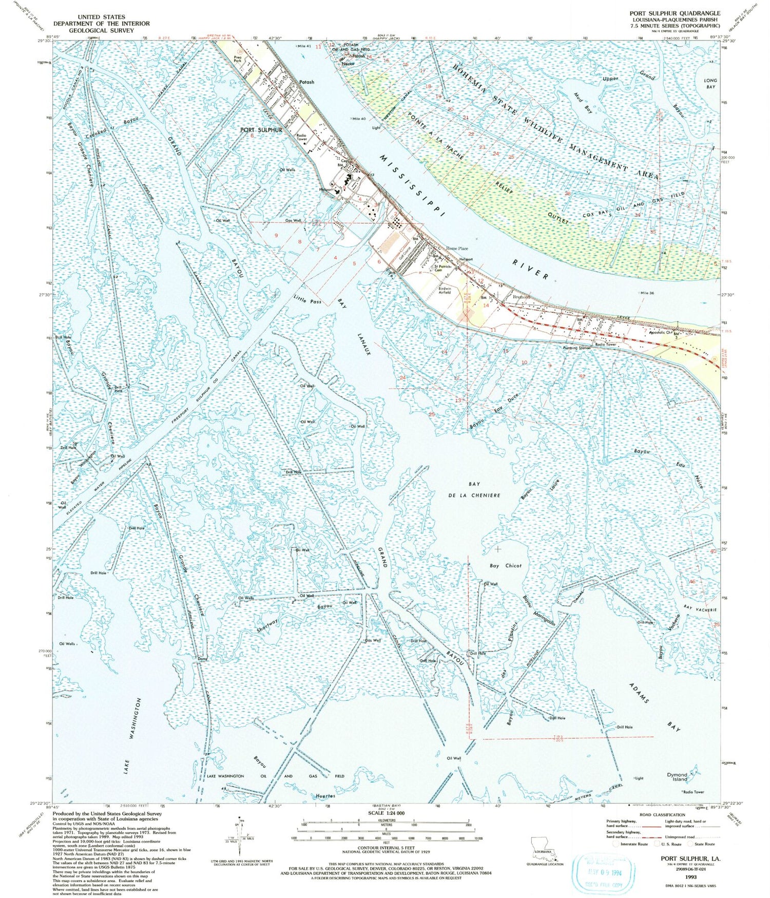
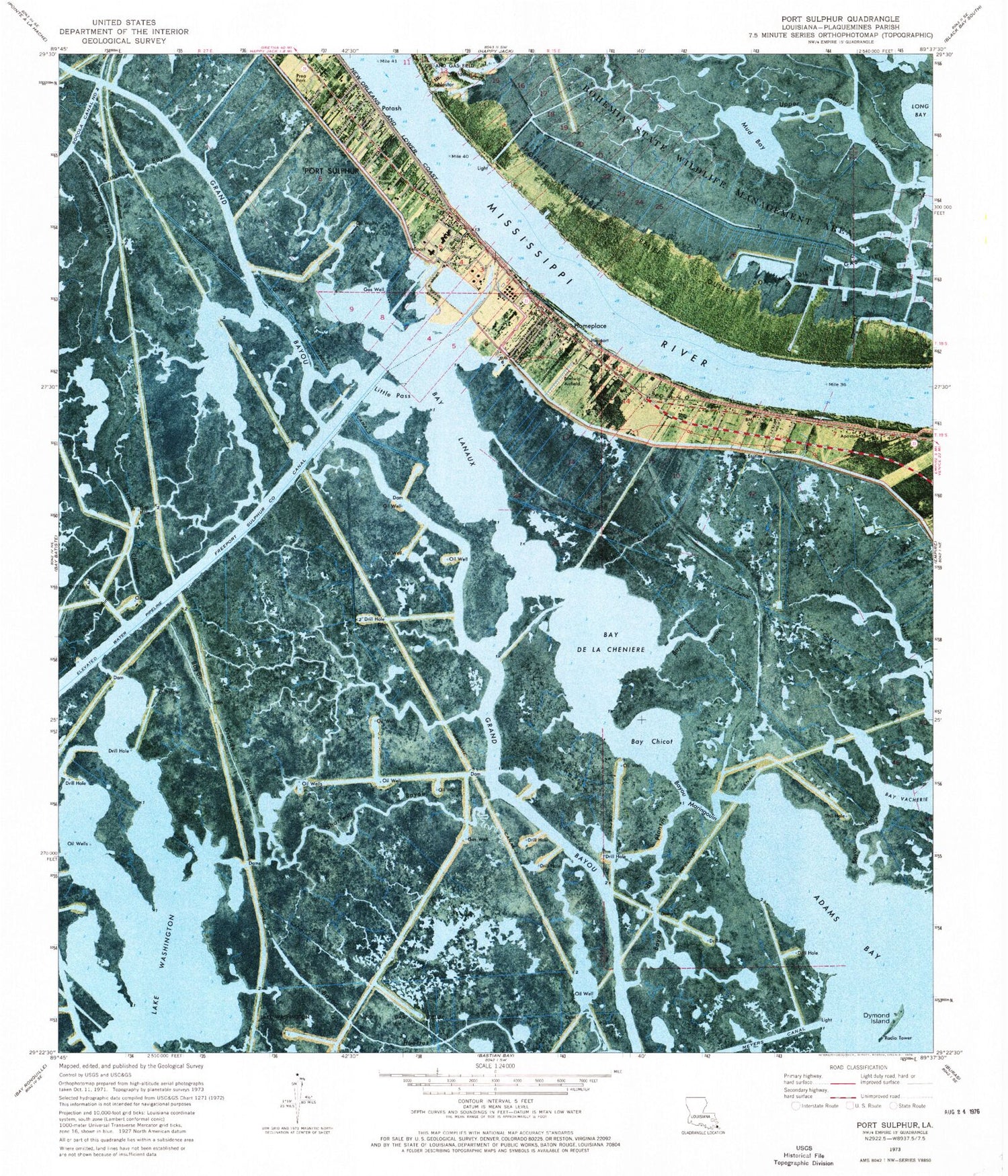
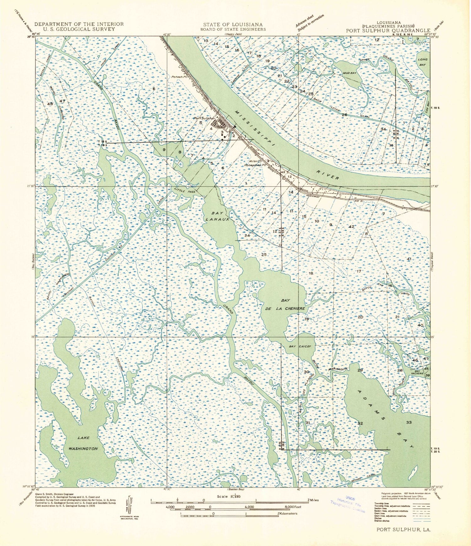
Classic USGS Port Sulphur Louisiana 7.5'x7.5' Topo Map
Couldn't load pickup availability
Historical USGS topographic quad map of Port Sulphur in the state of Louisiana. Map scale may vary for some years, but is generally around 1:24,000. Print size is approximately 24" x 27"
This quadrangle is in the following counties: Plaquemines.
The map contains contour lines, roads, rivers, towns, and lakes. Printed on high-quality waterproof paper with UV fade-resistant inks, and shipped rolled.
Contains the following named places: Apostolic Church, Back Levee Ditch, Bay Chicot, Bay De La Cheniere, Bay Lanaux, Bayou des Plantins, Bayou Eau Duce, Bayou Eau Noire, Bayou Grande Cheniere, Bayou Lacire, Bayou Maringouin, Bayou Vacheire, Bayou Washington, Birdwin Airport, Bohemia Spillway, Bremond, Cox Bay Oil and Gas Field, Crooked Bayou, Daisy, Dymond Island, Freeport Sulphur Company Canal, Grand Bayou, Grand Prairie, Hayes Canal, Home Place, Johnson Fisher Cemetery, KAGY-AM (Port Sulphur), Lake Washington, Little Pass, Macedonia Church, Meyers Canal, Mud Bay, Nairn Oil Field, Nestor, Nestor Canal, Plaquemines Parish Fire District 3 Port Sulphur Volunteer Fire Department, Plaquemines Parish General Hospital, Plaquemines Parish Library Port Sulphur Branch, Plaquemines Parish Sheriff's Office District 2, Port Sulphur, Port Sulphur Golf Club, Port Sulphur High School, Port Sulphur Police Department, Port Sulphur Revetment, Port Sulphur Seaplane Base, Port Sulphur Wastewater Treatment Faciity, Potash, Prea Park, Saint Patrick Cemetery, Saint Patrick Church, Shortway Bayou, South Plaquemines Elementary School, Upper Grand Bayou, Ward Four
