MyTopo
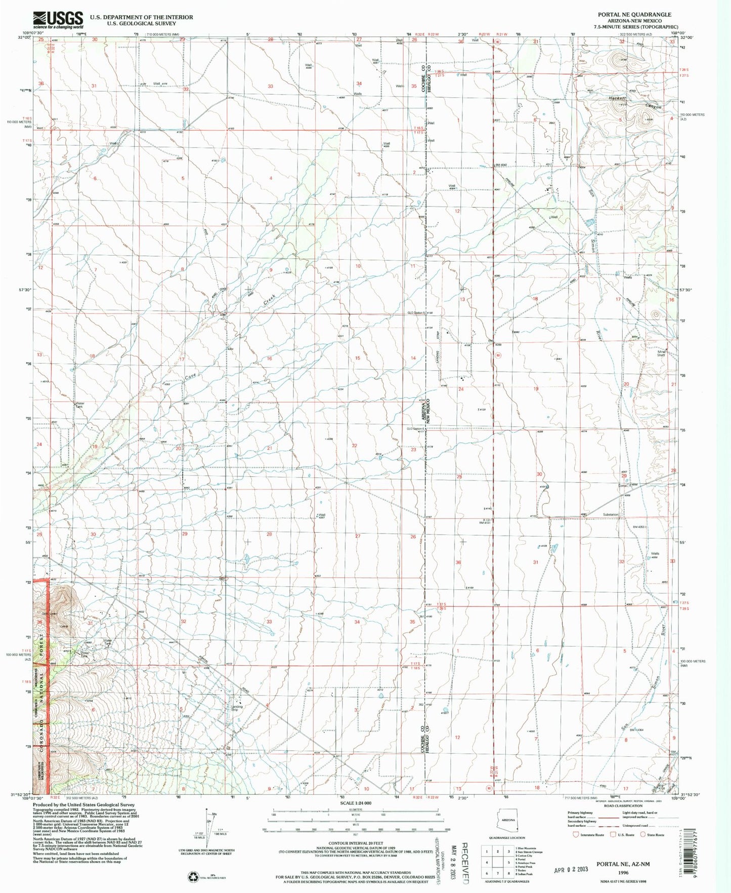
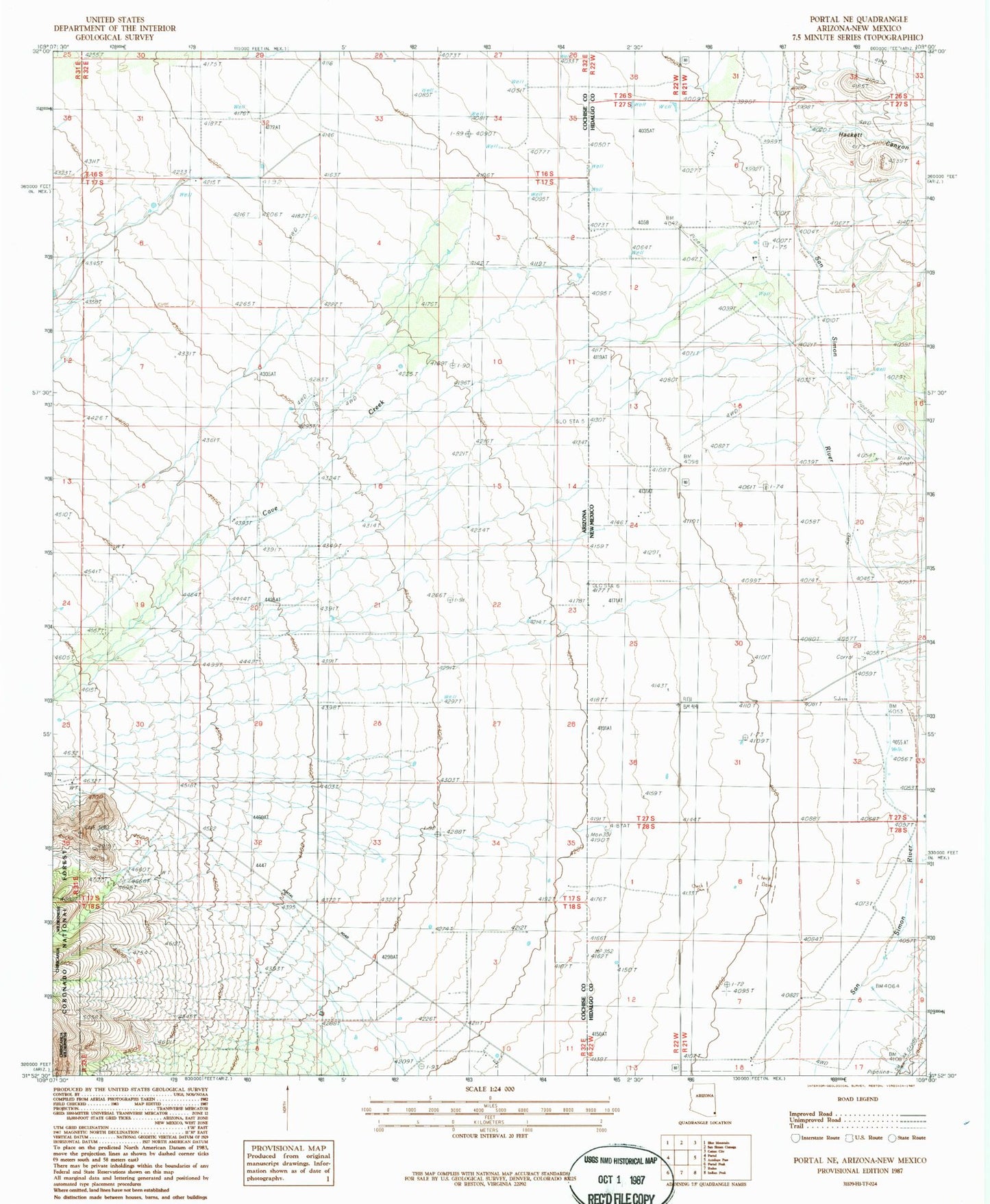
Classic USGS Portal NE Arizona 7.5'x7.5' Topo Map
Regular price
$16.95
Regular price
Sale price
$16.95
Unit price
per
Couldn't load pickup availability
Historical USGS topographic quad map of Portal NE in the states of Arizona, New Mexico. Map scale may vary for some years, but is generally around 1:24,000. Print size is approximately 24" x 27"
This quadrangle is in the following counties: Cochise, Hidalgo.
The map contains contour lines, roads, rivers, towns, and lakes. Printed on high-quality waterproof paper with UV fade-resistant inks, and shipped rolled.
Contains the following named places: 09001 Water Well, 09005 Water Well, Amigos Del Cielo Airport, Antelope Corral, Cave Creek, Hackett Canyon, Lizzy Lizard Airport, Roberds Ranch, Rodeo Airport, Stidham Ranch