MyTopo
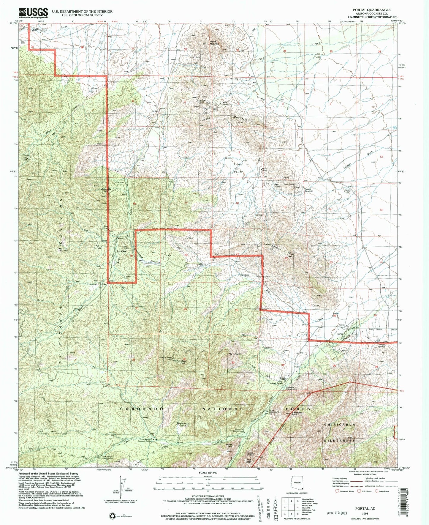
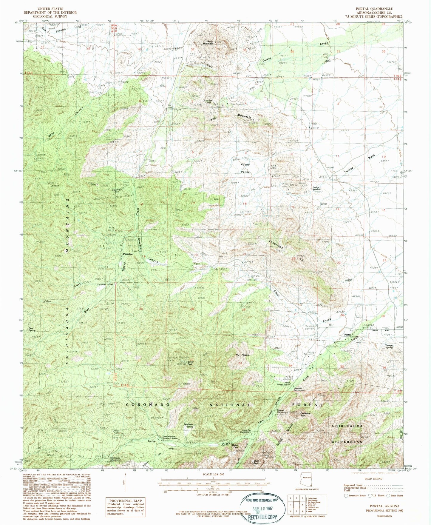
Classic USGS Portal Arizona 7.5'x7.5' Topo Map
Couldn't load pickup availability
Historical USGS topographic quad map of Portal in the state of Arizona. Typical map scale is 1:24,000, but may vary for certain years, if available. Print size: 24" x 27"
This quadrangle is in the following counties: Cochise.
The map contains contour lines, roads, rivers, towns, and lakes. Printed on high-quality waterproof paper with UV fade-resistant inks, and shipped rolled.
Contains the following named places: Cathedral Rock, Cave Creek Canyon, Cienega Spring, Cochise Mine, Davis Mountain, Harris Mountain, Hummingbird Spring, Idlewilde Forest Camp, Jhus Canyon, John Hands Picnic Ground, Onion Creek, Paradise, Paradise Cemetery, Portal, Portal Ranger Station, Round Valley, Silver Creek, Silver Peak, South Fork Cave Creek, Southwestern Research Station, Stewart Forest Camp, Sunny Flat Picnic Ground, Bagwell Ranch, Cave Creek Regional Park, Chiricahua Tank, Peach Tree Spring, Portal Elementary School, Silver Tank, Mount Sceloporus, Galeyville, The Portal


