MyTopo
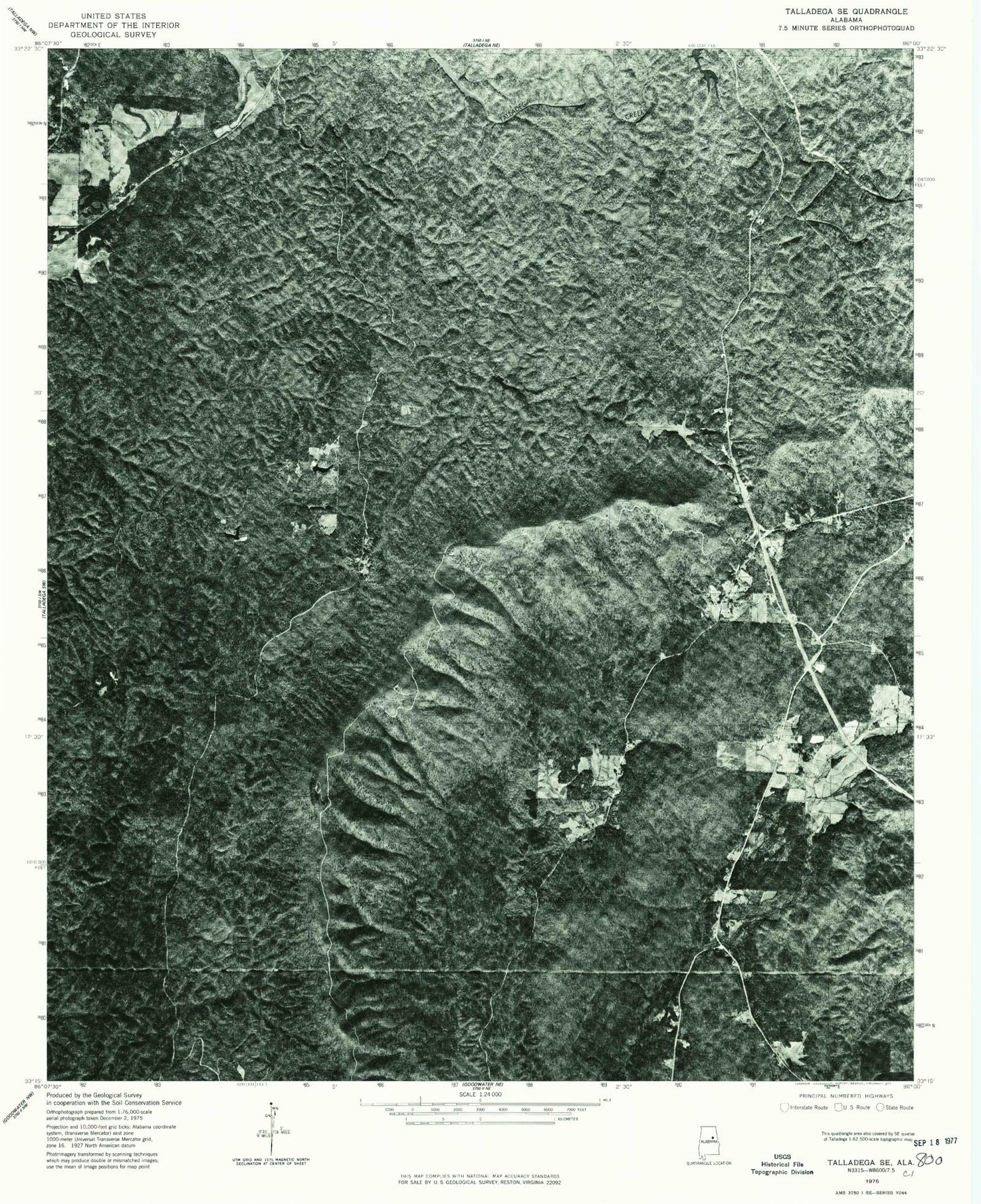
Classic USGS Porter Gap Alabama 7.5'x7.5' Topo Map
Couldn't load pickup availability
Historical USGS topographic quad map of Porter Gap in the state of Alabama. Map scale may vary for some years, but is generally around 1:24,000. Print size is approximately 24" x 27"
This quadrangle is in the following counties: Clay, Talladega.
The map contains contour lines, roads, rivers, towns, and lakes. Printed on high-quality waterproof paper with UV fade-resistant inks, and shipped rolled.
Contains the following named places: Blue Branch, Blue Hole, Chambers Springs, Chandler Gap, Chandler Springs Church, Chandler Springs School, Coleta, Coleta Valley Volunteer Fire Department, Dry Creek, Evening Star Church, Flat Top Ridge, Germany Cemetery, Great Falls, Harvell Cemetery, Hatchet Creek Prospect, Horn Memorial Church, Horn Mountain, Horn Mountain Lookout Tower, Horn Valley, Horns Memorial Cemetery, Huntley Branch, Jacobs Mill, Jogloma Dam, Jogloma Lake, Lake Socapatoy, Lundy Ann Branch, Marlow Branch, Mary Hole Branch, Matsonville, Moberley Cemetery, Monk Creek Reservoir, Morning Star Baptist Church, Morningstar School, Oto Post Office, Penitentiary Bottoms, Pennington Post Office, Pilgrim Rest Cemetery, Pilgrim Rest Church, Pinnacle Lake, Porter Gap, Rob Roy Forge, Shepherd Branch, Sherman Cliffs, Smelley, Smelley Creek, Smelley Post Office, Tallaseehatchee Watershed Number Six Lake, Taylors Mill, The Pinnacle, Tyler Branch, Wako Kayi, Wewoka Assembly of God Church, ZIP Code: 35160


