MyTopo
Classic USGS Porter Lake Michigan 7.5'x7.5' Topo Map
Regular price
$16.95
Regular price
Sale price
$16.95
Unit price
per
Couldn't load pickup availability
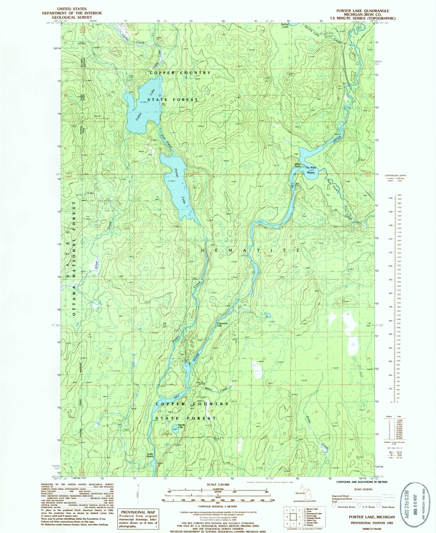
Historical USGS topographic quad map of Porter Lake in the state of Michigan. Map scale may vary for some years, but is generally around 1:24,000. Print size is approximately 24" x 27"
This quadrangle is in the following counties: Iron.
The map contains contour lines, roads, rivers, towns, and lakes. Printed on high-quality waterproof paper with UV fade-resistant inks, and shipped rolled.
Contains the following named places: Barrett Lake, Cable Lake, Cable Lake Creek, Chipmunk Falls, Farley Creek, Hotel Point, Mikes Creek, New York Creek, Pass Creek, Porter Creek, Porter Lake, Snake Rapids, Spring Lake Creek, Township of Bates, Wide Waters