MyTopo
Classic USGS Porterdale Georgia 7.5'x7.5' Topo Map
Couldn't load pickup availability
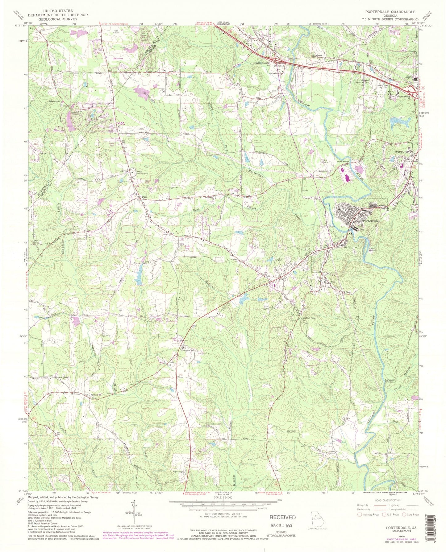
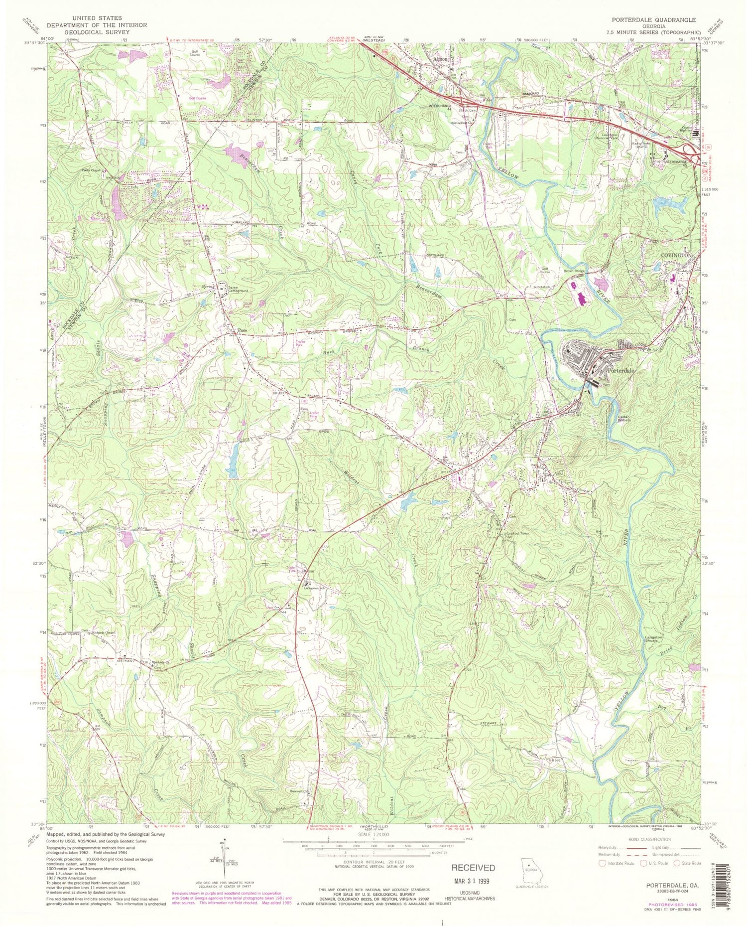
Historical USGS topographic quad map of Porterdale in the state of Georgia. Map scale may vary for some years, but is generally around 1:24,000. Print size is approximately 24" x 27"
This quadrangle is in the following counties: Newton, Rockdale.
The map contains contour lines, roads, rivers, towns, and lakes. Printed on high-quality waterproof paper with UV fade-resistant inks, and shipped rolled.
Contains the following named places: Abide Awhile, Administer Tabernacle School, Almand Creek, Almon, Almon Baptist Church, Bailey Lake, Bailey Lake Dam, Beaver Creek, Beaverdam Creek, Bethany Cemetery, Bethany Church, Brandy Shoals, Brown Bridge, Brown Bridge Square, Buck Branch, Buck Creek, Canaan Baptist Church, Caney Fork, Cedar Shoals, Challenge Charter Academy, City of Porterdale, Clements Middle School, Country Acres Mobile Home Park, Country Terrace, Country View, Country Wood, Cousins Middle School, Covington-Porterdale Division, Dog Branch, Dried Indian Creek, Eastwood Church, Fairview, Fairview Commons, Fairview Elementary School, Fieldstone, Flanigan Airport, Forest Lakes, Forest Mill, Fountain Hill, Fox Meadows, Georgia Forestry Commission - Newton Fire Station, Glynn Isles, Good Hope Baptist Church, Gospel Tabernacle United Pentecostal Church, Gum Creek, Hidden Shoals, Hopewell Church, Journey Baptist Church, Julia A Porter United Methodist Church, Kirkland Acres, Knights Landing, Lakeside, Langston Shoals, Lawnwood Memorial Park, Liberty Middle School, Live Oak Elementary School, Livingston Chapel Christian Methodist Episcopal Church, Livingston Elementary School, Marble Valley, Memorial Middle School, Middlebrooks Cemetery, Millers Glen, Newton County Fire Station 7, Newton General Hospital Heliport, Newton High School, Newton Woods, Oak Forest Mobile Home Park, Oak Hill Farms, Oakbrook, Oakwood, Pace, Paradise Lake, Paradise Lake Dam, Peeks Chapel, Peeks Chapel Baptist Cemetery, Peeks Chapel Elementary School, Plum Orchard, Porterdale, Porterdale Baptist Church, Porterdale Elementary School, Porterdale Police Department, Porterdale Post Office, Porterdale Presbyterian Church, Porterdale Volunteer Fire Department Station 11, Richards Chapel, River North, Riverbend Farms, Riverside Estates, Rockdale County Fire Department Station 3, Rogers Heights, Salem Branch, Salem Campground, Salem Cove, Salem High School, Salem Lake, Salem Lake Dam, Salem Meadows, Salem Place, Salem Ridge, Salem United Methodist Church, Salem Village, Salem Volunteer Fire Department Station 5, Shiloh Cemetery, Shiloh United Methodist Church, Shoal Creek, Slades Mill, South Salem Elementary School, Spring Hill Church, Springfield, Springfield Church, Springhill, Troy University East Atlanta Covington Site, Turkey Creek Estates, Turner Lake, Turner Lake Dam, Twin Oaks, Ub Lake Dam, Veterans Memorial Middle School, Village Green, West Newton Elementary School, WGFS-AM (Covington), Woodland Acres, Young Americans Christian School, ZIP Codes: 30016, 30070


