MyTopo
Classic USGS Portersville Pennsylvania 7.5'x7.5' Topo Map
Couldn't load pickup availability
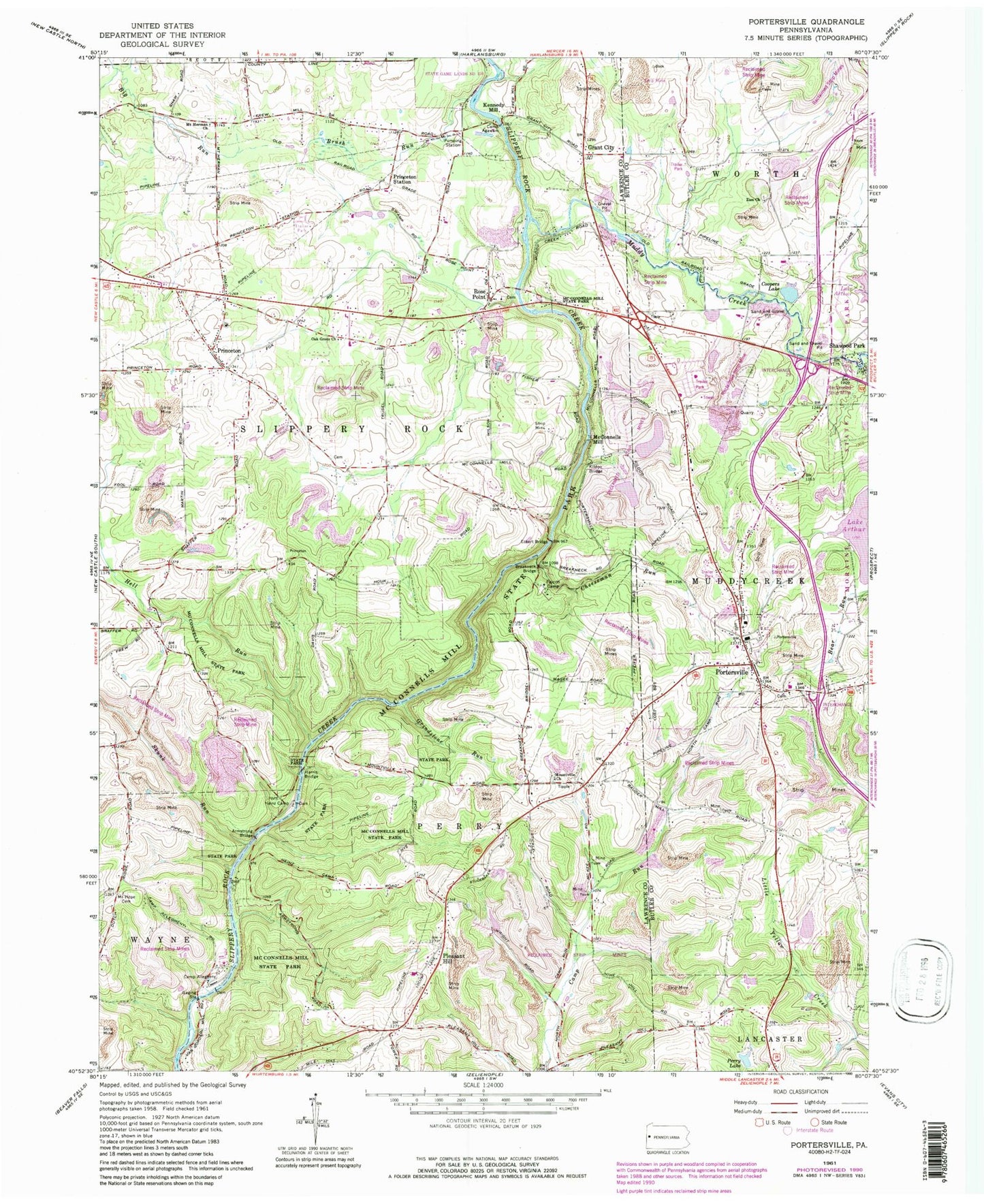
Historical USGS topographic quad map of Portersville in the state of Pennsylvania. Typical map scale is 1:24,000, but may vary for certain years, if available. Print size: 24" x 27"
This quadrangle is in the following counties: Butler, Lawrence.
The map contains contour lines, roads, rivers, towns, and lakes. Printed on high-quality waterproof paper with UV fade-resistant inks, and shipped rolled.
Contains the following named places: Breakneck Bridge, Brush Run, Camp Agawam, Camp Allegheny, Cheeseman Run, Coopers Lake, Eckert Bridge, Falcon Camp, Grant City, Grindstone Run, Harris Bridge, Heinz Camp, Kildoo Bridge, McConnells Mill State Park, Mount Herman Church, Mount Hope Cemetery, Mountville Church, Muddy Creek, Oak Grove Church, Perry Lake, Pleasant Hill, Princeton, Princeton Station, Rose Point, Shawwood Park, Skunk Run, Zion Church, Hell Run, Burnside School, Snyder School, Lake Arthur Field, Bauder School, Armstrong Bridge, Slippery Rock Creek Gorge, Grant City Falls, Gibsondale, Spillway Falls, Kennedy Mill, McConnells Mill, Slippery Rock, The Wilroy Iron Furnace, Moraine State Park, Muddy Creek-Portersville Elementary School, Portersville, Borough of Portersville, Township of Perry, Township of Slippery Rock, Pleasant Hill Airport, Lake Arthur Estates Census Designated Place, Lake Arthur Estates, Slippery Rock Township Volunteer Fire Department Station 1400, Portersville - Muddy Creek Volunteer Fire Department Station 24, Portersville - Muddy Creek Volunteer Emergency Medical Services and Rescue, Porters Cove, Portersville Post Office, Zion Baptist Cemetery, Rose Point Reformed Presbyterian Church Cemetery, Presbyterian Church of Portersville Cemetery, Hermon - Union Cemetery, Mountville Presbyterian Church Cemetery, Portersville Bible Church Cemetery, Pleasant Hill Cemetery, Pleasant Valley Cemetery


