MyTopo
Classic USGS Porterville Mississippi 7.5'x7.5' Topo Map
Couldn't load pickup availability
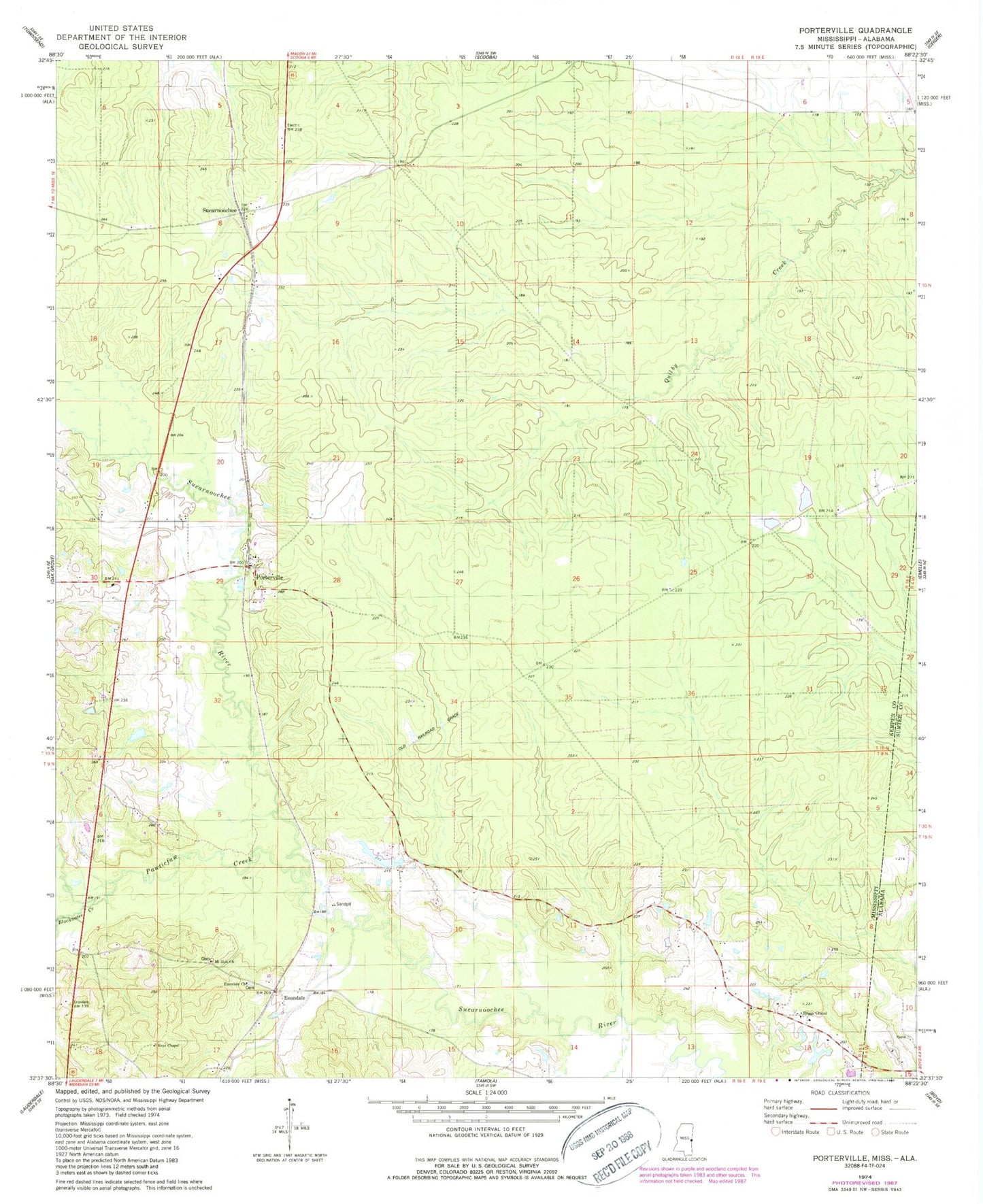
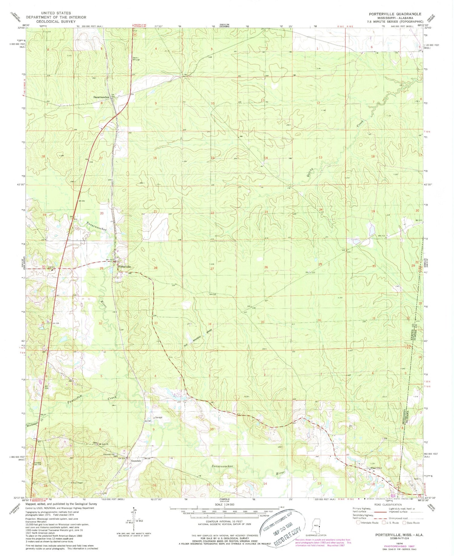
Historical USGS topographic quad map of Porterville in the states of Mississippi, Alabama. Map scale may vary for some years, but is generally around 1:24,000. Print size is approximately 24" x 27"
This quadrangle is in the following counties: Kemper, Sumter.
The map contains contour lines, roads, rivers, towns, and lakes. Printed on high-quality waterproof paper with UV fade-resistant inks, and shipped rolled.
Contains the following named places: Beckville, Billy Harry Pond Dam, Blackwater Creek, Briggs Chapel, Briggs Chapel Cemetery, Dial, Dial Post Office, Enondale, Enondale Cemetery, Enondale Church, Friendship Baptist Church, Keys Chapel, Mount Zion Church, Narkeeta, Old Narkeetah, Pawticfaw Creek, Philadelphia Baptist Church, Porterville, Porterville Census Designated Place, Porterville High School, Porterville Methodist Church, Porterville Post Office, Porterville Volunteer Fire Department, Robbins Cemetery, Sucarnoochee, Weyerhauser Lumber Company Lake Dam, Weyerhauser Lumber Company Pond Dam, Yanceys Ferry, ZIP Code: 39352