MyTopo
Classic USGS Portola California 7.5'x7.5' Topo Map
Couldn't load pickup availability
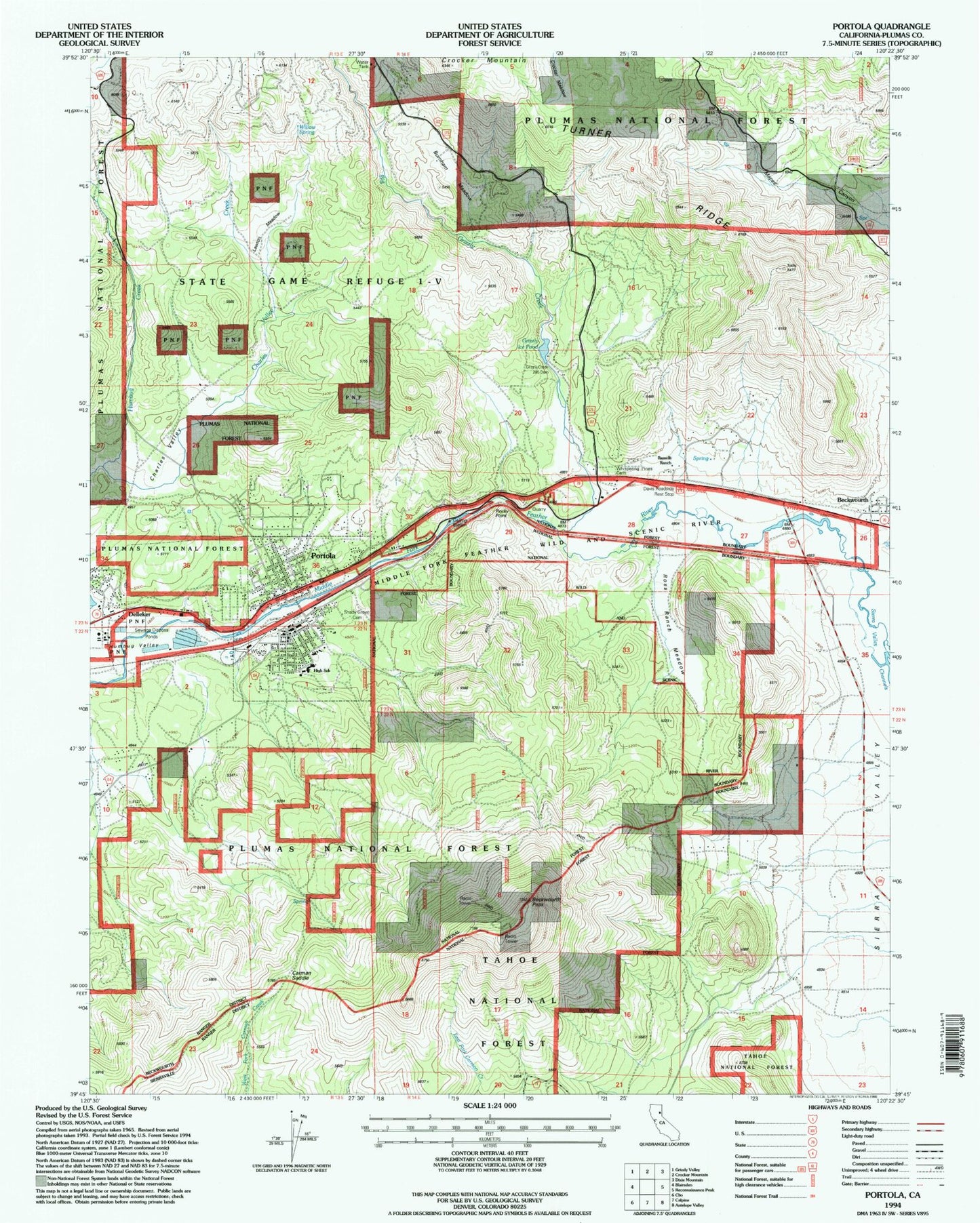
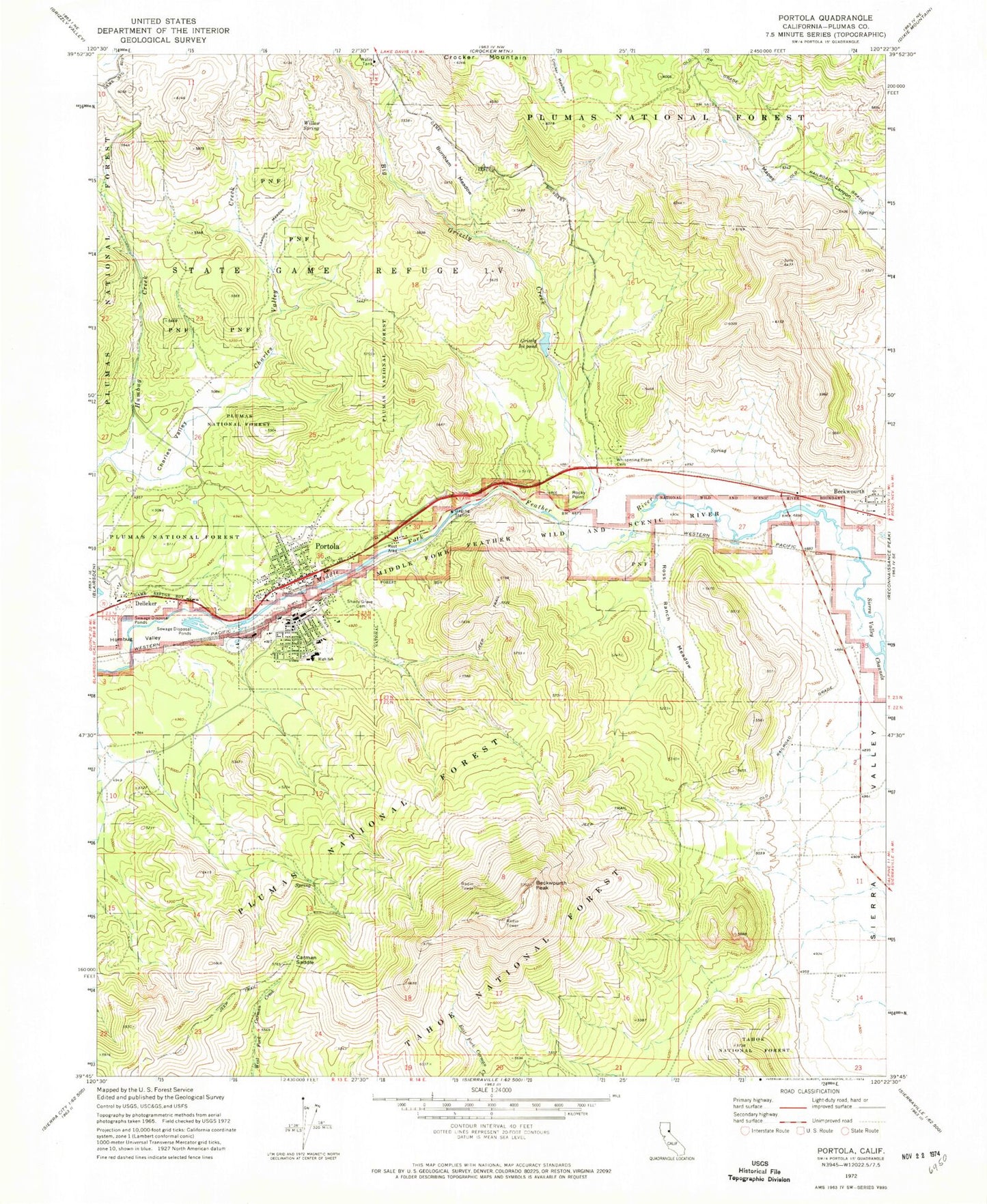
Historical USGS topographic quad map of Portola in the state of California. Map scale may vary for some years, but is generally around 1:24,000. Print size is approximately 24" x 27"
This quadrangle is in the following counties: Plumas.
The map contains contour lines, roads, rivers, towns, and lakes. Printed on high-quality waterproof paper with UV fade-resistant inks, and shipped rolled.
Contains the following named places: Assembly of God Church, Beckwourth, Beckwourth Census Designated Place, Beckwourth Fire District Station 1, Beckwourth Peak, Beckwourth School, Big Grizzly Creek, Burnham Meadow, C Roy Carmichael Elementary School, Carman Saddle, Charles Valley, Charles Valley Creek, City of Portola, Crocker Mountain, Davis Roadside Rest, Delleker, Delleker Census Designated Place, Eastern Plumas Hospital Portola Campus, Eastern Plumas Rural Fire Protection District Station 1, Feather River Middle School, Grizzly Creek 285 Dam, Grizzly Ice Pond, Humbug Valley, Iron Horse, Iron Horse Census Designated Place, Kerby, Lake Davis, Lake Davis Census Designated Place, Lawton Meadow, Plumas County Sheriff's Office Portola Substation, Portola, Portola Church of the Nazarene, Portola City Park, Portola Elementary School, Portola Fire Department North Side Station, Portola Fire Department South Side Station, Portola Junior / Senior High School, Portola Memorial Hall, Portola Post Office, Portola Railroad Museum, Portola Station Baptist Church, Ramelli Ranch, Rocky Point, Ross Ranch Meadow, Shady Grove Cemetery, Sierra Valley, Sierra Valley Channels, Whispering Pines Cemetery, Willow Spring, ZIP Code: 96122