MyTopo
Classic USGS Portville New York 7.5'x7.5' Topo Map
Couldn't load pickup availability
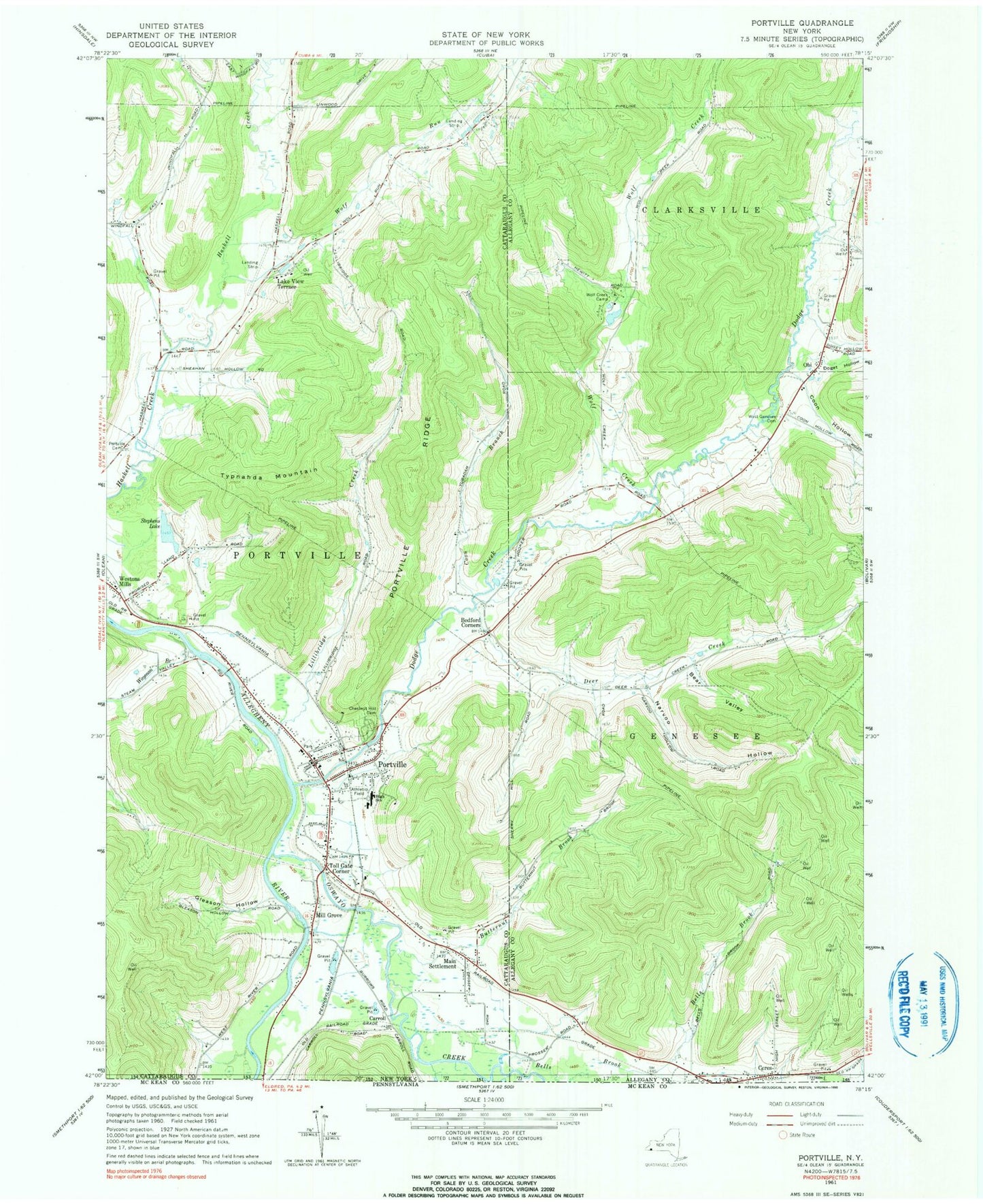
Historical USGS topographic quad map of Portville in the state of New York. Map scale may vary for some years, but is generally around 1:24,000. Print size is approximately 24" x 27"
This quadrangle is in the following counties: Allegany, Cattaraugus.
The map contains contour lines, roads, rivers, towns, and lakes. Printed on high-quality waterproof paper with UV fade-resistant inks, and shipped rolled.
Contains the following named places: Bear Valley, Bedford Corners, Bells Brook, Bethel Lutheran Church, Butternut Brook, Carroll, Chestnut Hill Cemetery, Coon Branch, Coon Hollow, Deer Creek, Deer Creek Farm, Dodge Creek, Doget Hollow, East Portville Cemetery, Faulkner's Farm, First Presbyterian Church of Portville, Gleason Hollow, Lake View Terrace, Lillibridge Creek, Main Settlement, Mill Grove, Narvoo Hollow, Obi, Oswayo Creek, Portville, Portville Baptist Christian School, Portville Baptist Church, Portville Cemetery, Portville Drive-In, Portville Elementary School, Portville Fire Department, Portville Free Library, Portville Junior - Senior High School, Portville Municipal Building, Portville Post Office, Portville Ridge, Portville Wastewater Treatment Plant, Reiss Game Farm Airport, Sacred Heart Roman Catholic Church, Saint Andrews United Methodist Church, Stephens Lake, Toll Gate Corner, Town of Portville, Typnahda Mountain, Village of Portville, Wayman Branch, West Clarksville Baptist Church, West Genesee Cemetery, Weston Mills, Weston Mills Census Designated Place, Weston Mills Fire Department, Westons Mills Post Office, Wolf Creek, Wolf Creek Camp, Wolf Run, ZIP Codes: 14721, 14770


