MyTopo
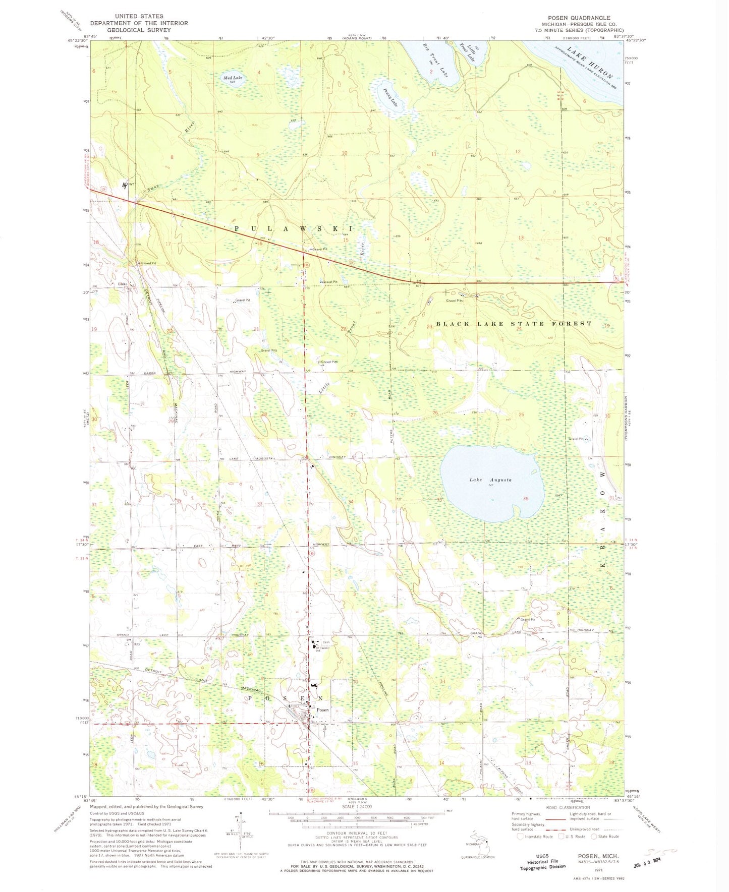
Classic USGS Posen Michigan 7.5'x7.5' Topo Map
Couldn't load pickup availability
Historical USGS topographic quad map of Posen in the state of Michigan. Map scale may vary for some years, but is generally around 1:24,000. Print size is approximately 24" x 27"
This quadrangle is in the following counties: Presque Isle.
The map contains contour lines, roads, rivers, towns, and lakes. Printed on high-quality waterproof paper with UV fade-resistant inks, and shipped rolled.
Contains the following named places: Big Trout Lake, Lake Augusta, Liske, Little Trout River, Mud Lake, Orchard, Orchard Station, Penny Lake, Posen, Posen Area Fire and Rescue, Posen Consolidated School, Posen Post Office, Posen Station, Presque Isle District Library, Presque Isle Electic Cooperative Monument Historical Marker, Saint Casimir School, Saint Casimir's Cemetery, Township of Pulawski, Village of Posen