MyTopo
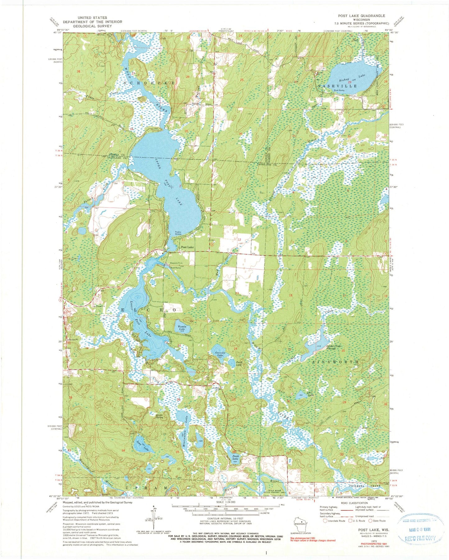
Classic USGS Post Lake Wisconsin 7.5'x7.5' Topo Map
Couldn't load pickup availability
Historical USGS topographic quad map of Post Lake in the state of Wisconsin. Map scale may vary for some years, but is generally around 1:24,000. Print size is approximately 24" x 27"
This quadrangle is in the following counties: Forest, Langlade, Oneida.
The map contains contour lines, roads, rivers, towns, and lakes. Printed on high-quality waterproof paper with UV fade-resistant inks, and shipped rolled.
Contains the following named places: Aninnan Lake, Bishop Lake, Knoke Spring, Logan Creek, Loon Lake, Lost Creek, Lost Lake, Lower Post Lake, Marigold Lake, Miniwakan Lake, Mud Creek, Pedro Creek, Perch Lake, Pickerel Creek, Pollock Creek, Post Lake, Post Lake Census Designated Place, Spider Creek, Spider Creek 2WP1403 Dam, Spider Creek Flowage, Squaw Creek, Swamp Creek, Upper Lake, Upper Post Lake, Upper Post Lake 1866C352 Dam, Walczak Creek, Wamin Lake, ZIP Code: 54462