MyTopo
Classic USGS Post Point Oregon 7.5'x7.5' Topo Map
Couldn't load pickup availability
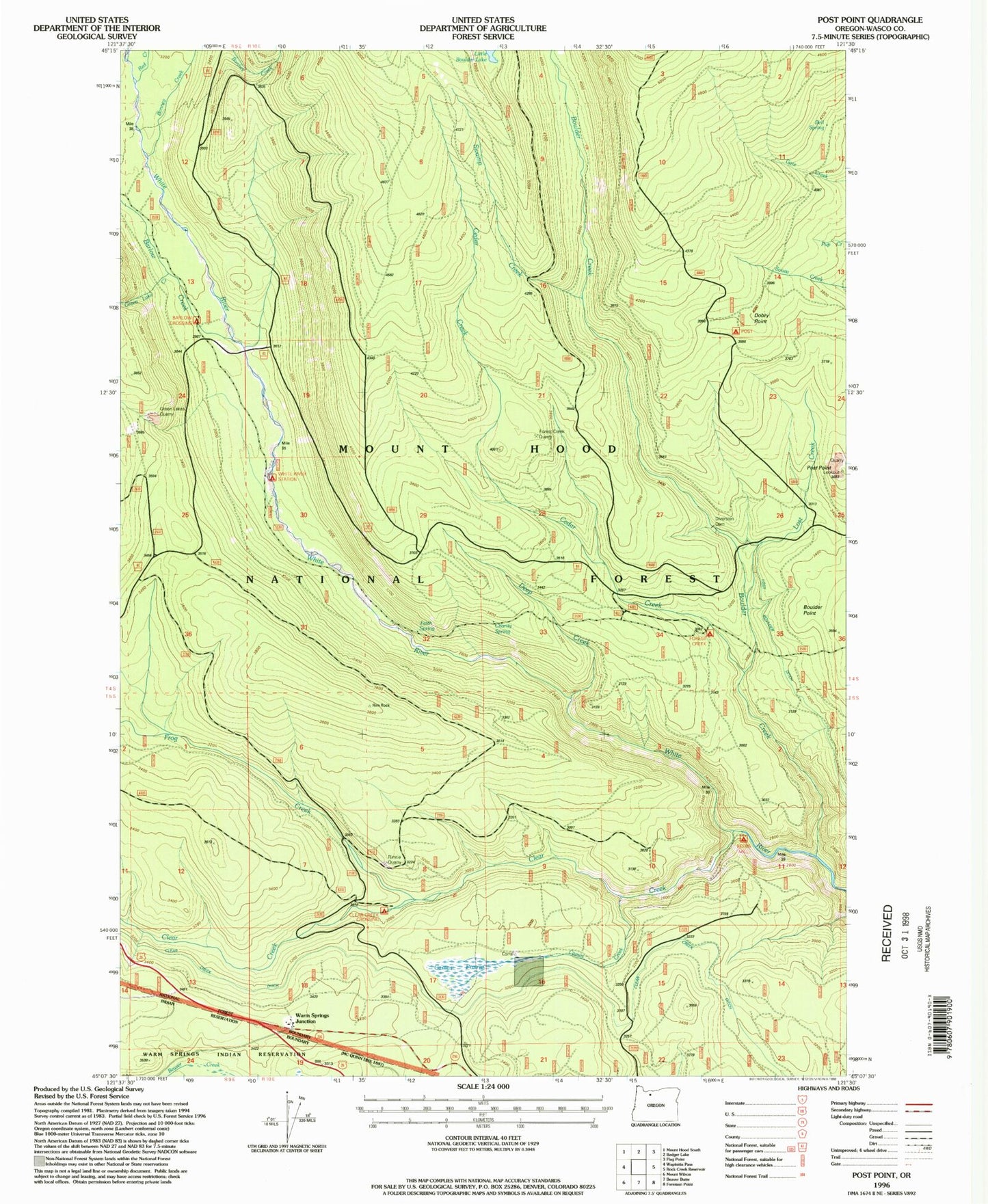
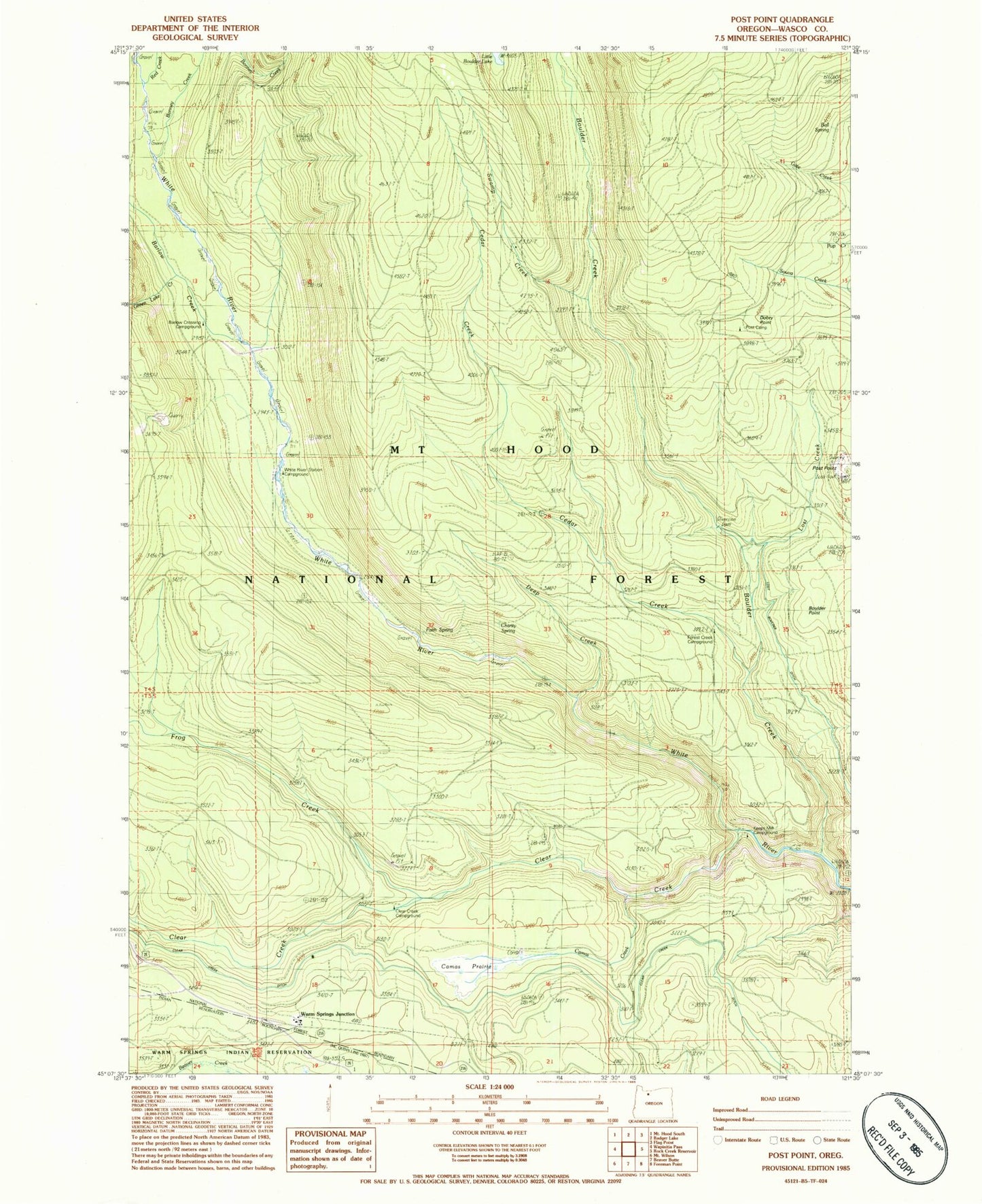
Historical USGS topographic quad map of Post Point in the state of Oregon. Typical map scale is 1:24,000, but may vary for certain years, if available. Print size: 24" x 27"
This quadrangle is in the following counties: Wasco.
The map contains contour lines, roads, rivers, towns, and lakes. Printed on high-quality waterproof paper with UV fade-resistant inks, and shipped rolled.
Contains the following named places: Dobry Point, Barlow Creek, Bell Spring, Bonney Creek, Bonney Meadows Trail, Boulder Point, Camas Creek, Camas Prairie, Charity Spring, Clear Creek, Clear Creek Ditch, Clear Creek Crossing Recreation Site, Boulder Creek, East West Trail, Faith Spring, Cedar Creek, Forest Creek Trail, Frog Creek, Frog Creek Trail, Green Lake Creek, Keeps Mill Recreation Site, Deep Creek, Little Boulder Lake, Little Boulder Way Trail, Lost Creek, Post Camp Recreation Site, Post Point, Red Creek, Rimrock Trail, Swamp Creek, Swamp Creek Hidden Meadows Trail, Faith Spring Forest Camp (historical), Forest Creek Recreation Site, Crane Creek Forest Camp (historical), Keen Camp (historical), Warm Springs Junction, White River Crossing Camp (historical), Barlow Crossing Recreation Site, White River Station Recreation Site, Keeps Mill (historical), Forest Creek Quarry, Green Lakes Quarry, Rimtie Quarry


