MyTopo
Classic USGS Potato Hill California 7.5'x7.5' Topo Map
Couldn't load pickup availability
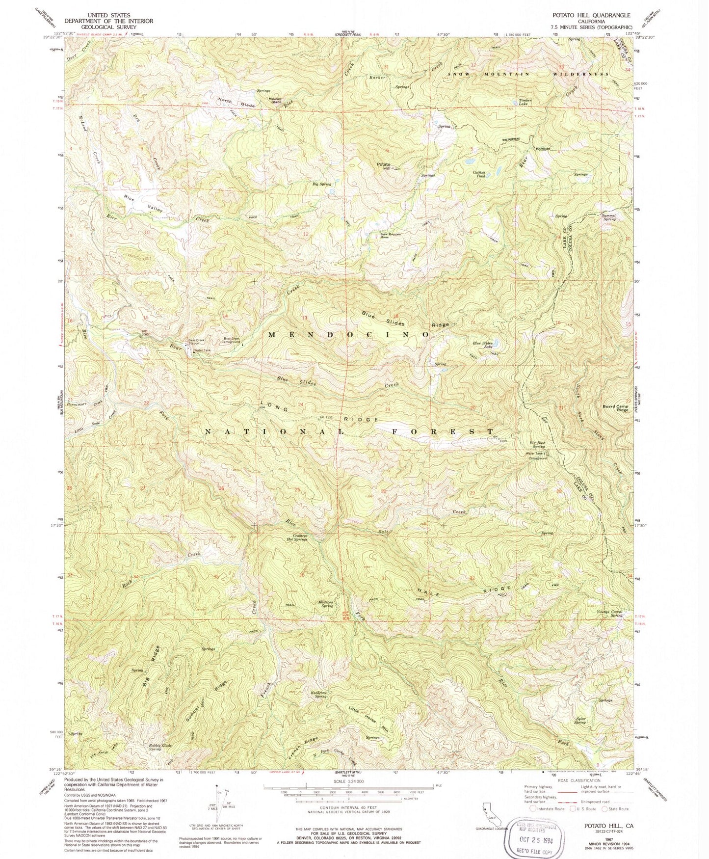
Historical USGS topographic quad map of Potato Hill in the state of California. Typical map scale is 1:24,000, but may vary for certain years, if available. Print size: 24" x 27"
This quadrangle is in the following counties: Colusa, Lake.
The map contains contour lines, roads, rivers, towns, and lakes. Printed on high-quality waterproof paper with UV fade-resistant inks, and shipped rolled.
Contains the following named places: Barker Creek, Bear Creek, Bear Creek Campground, Bear Creek Station, Big Ridge, Big Spring, Blue Slides Creek, Blue Slides Lake, Blue Slides Ridge, Catfish Pond, Crabtree Hot Springs, Dry Creek, Fir Root Spring, French Creek, Hale Ridge, Knobcone Spring, Little Soda Creek, Long Ridge, Madrone Spring, Mauser Glade, McLeod Creek, North Glade, Parramore Creek, Potato Hill, Rabbit Glade Spring, Rice Valley, Richardson Glade, Rock Creek, Salt Creek, Snow Mountain House, Sumner Ridge, Summit Spring, Timber Lake, Youngs Corral Spring, Summit Springs Trailhead, Summit Springs Trailhead Parking, Little Horse Mountain, Youngs Corral (historical), Upper Lake-Clearlake Oaks Division


