MyTopo
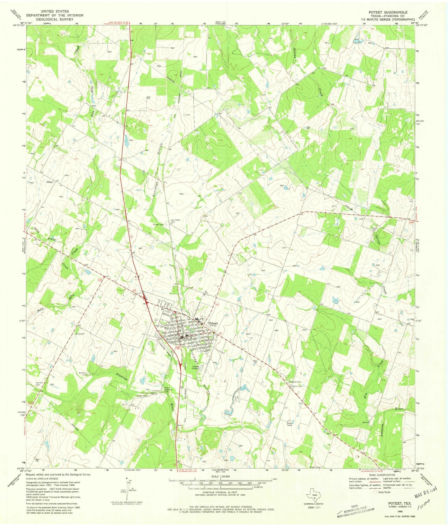
Classic USGS Poteet Texas 7.5'x7.5' Topo Map
Couldn't load pickup availability
Historical USGS topographic quad map of Poteet in the state of Texas. Map scale may vary for some years, but is generally around 1:24,000. Print size is approximately 24" x 27"
This quadrangle is in the following counties: Atascosa.
The map contains contour lines, roads, rivers, towns, and lakes. Printed on high-quality waterproof paper with UV fade-resistant inks, and shipped rolled.
Contains the following named places: Agua Negra Creek, Alderman Farm Airport, Atascosa County Emergency Medical Services, City of Poteet, Ditto, Elm Creek, Estrada Cemetery, Garcia Cemetery, Herrera Cemetery, KBOP-AM (Pleasanton), KBOP-FM (Pleasanton), Madre Dolorosa Cemetery, Poteet, Poteet Cemetery, Poteet City Hall, Poteet Police Department, Poteet Post Office, Poteet Volunteer Fire Department, Rutledge Hollow, San Pedro Cemetery, Shiloh Cemetery, Willborn Cemetery, Zavala Cemetery