MyTopo
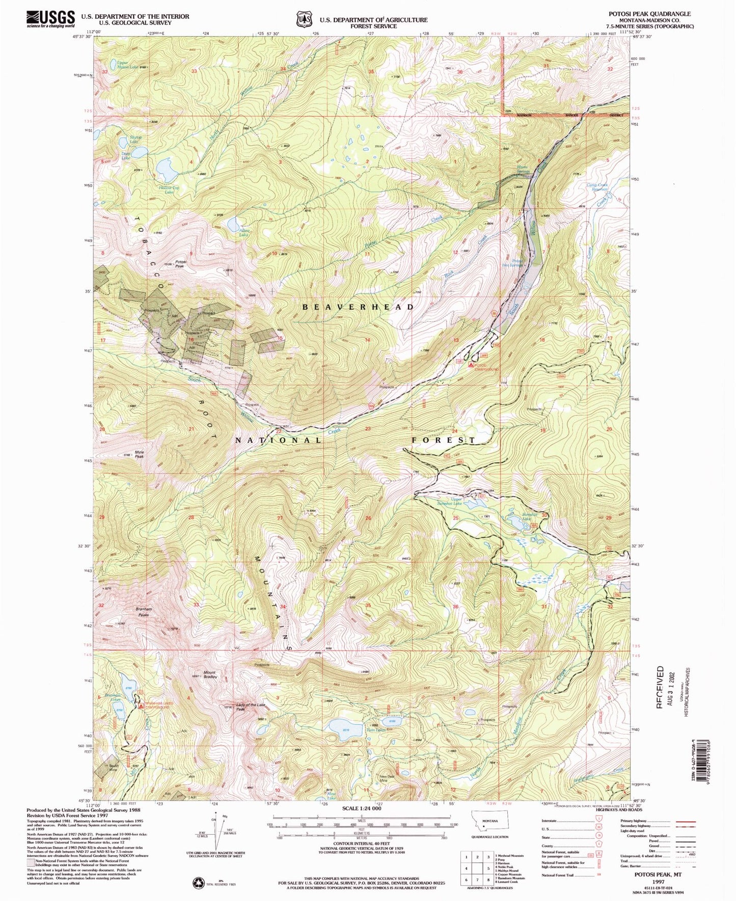
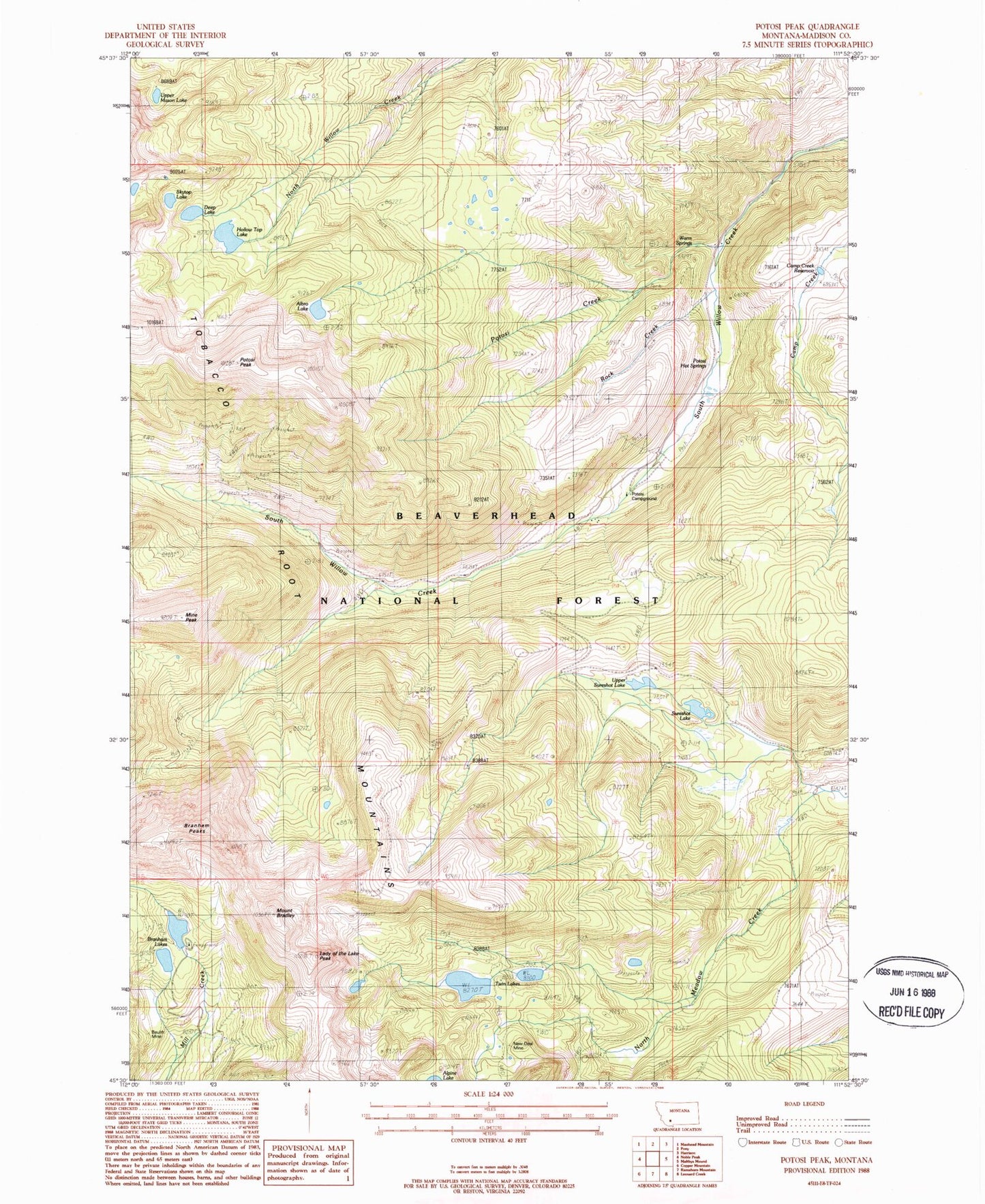
Classic USGS Potosi Peak Montana 7.5'x7.5' Topo Map
Couldn't load pickup availability
Historical USGS topographic quad map of Potosi Peak in the state of Montana. Typical map scale is 1:24,000, but may vary for certain years, if available. Print size: 24" x 27"
This quadrangle is in the following counties: Madison.
The map contains contour lines, roads, rivers, towns, and lakes. Printed on high-quality waterproof paper with UV fade-resistant inks, and shipped rolled.
Contains the following named places: Hollow Top Lake, Albro Lake, Beulrh Mine, Beulrh Mine Camp, Mount Bradley, Branham Lakes, Branham Peaks, Bungalow Group, Deep Lake, Lady of the Lake Peak, Mine Peak, Potosi Creek, Potosi Hot Springs, Potosi Peak, Potosi Ranger Station, Rock Creek, Skytop Lake, Sureshot Lake, Tungsten Mine, Twin Lakes, Upper Mason Lake, Upper Sureshot Lake, Warm Springs, Branham Lakes Recreation Site, Albro Dam, Hollowtop Lake Dam, Deep Lake, Lower Branham Dam, Lower Branham Lake, Upper Branham Dam, Upper Branham Lake, Potosi Campground, Beulrh Mine, Potosi Peak Tungsten Mine, NE NE Section 23 Mine, Belle Mine, New Deal Mine, Camp Creek Reservoir, New Deal Mine, 02S02W07CAB_01 Spring, 02S02W07CAB_08 Spring, 02S02W07CAB_03 Spring, 02S02W07CAB_05 Spring, 02S02W07CAB_06 Spring, 02S02W07CAB_04 Spring, 02S01W07CAB_02 Spring, 10N03W27CADB01 Well, Potosi Hot Springs, Potosi (historical)


