MyTopo
Classic USGS Potter Brook Pennsylvania 7.5'x7.5' Topo Map
Couldn't load pickup availability
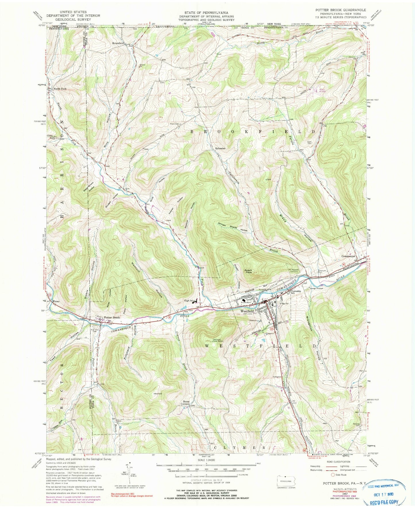
Historical USGS topographic quad map of Potter Brook in the state of Pennsylvania. Map scale may vary for some years, but is generally around 1:24,000. Print size is approximately 24" x 27"
This quadrangle is in the following counties: Potter, Steuben, Tioga.
The map contains contour lines, roads, rivers, towns, and lakes. Printed on high-quality waterproof paper with UV fade-resistant inks, and shipped rolled.
Contains the following named places: Asaph Peak, Boom Corners, Borough of Westfield, Brace Hollow, Brookfield, Brookfield Cemetery, Broughton Hollow, California Brook, Champlin Cemetery, Clark Cemetery, Closes Creek, Crance Brook, Crary Hose Company, Crippen Run, Dibble Hollow, Dodge Hollow Run, Elmer, Gene Brown Hollow, Hancock Hollow, Kocher Hollow, Krusen Cemetery, Krusen Hollow, Mill Creek, Miller Hollow, Mink Hollow, Moore Hollow Run, Mount Pleasant Cemetery, North Fork, North Fork Cowanesque River, Pa-456 Dam, Plank Cemetery, Plank Hollow, Potter Brook, Potter Brook Cemetery, Pritchard Hollow, Purple Brook, Rexford Hollow, Riverview Cemetery, Scott Hollow, Shingle Shanty Hollow, Shufelt Hollow, Swift Aero Field, Swimley Cemetery, Sylvester, Teed Hollow, Township of Brookfield, Township of Westfield, Westfield, Westfield Borough Police Department, Westfield Post Office, White Branch, ZIP Code: 16950


