MyTopo
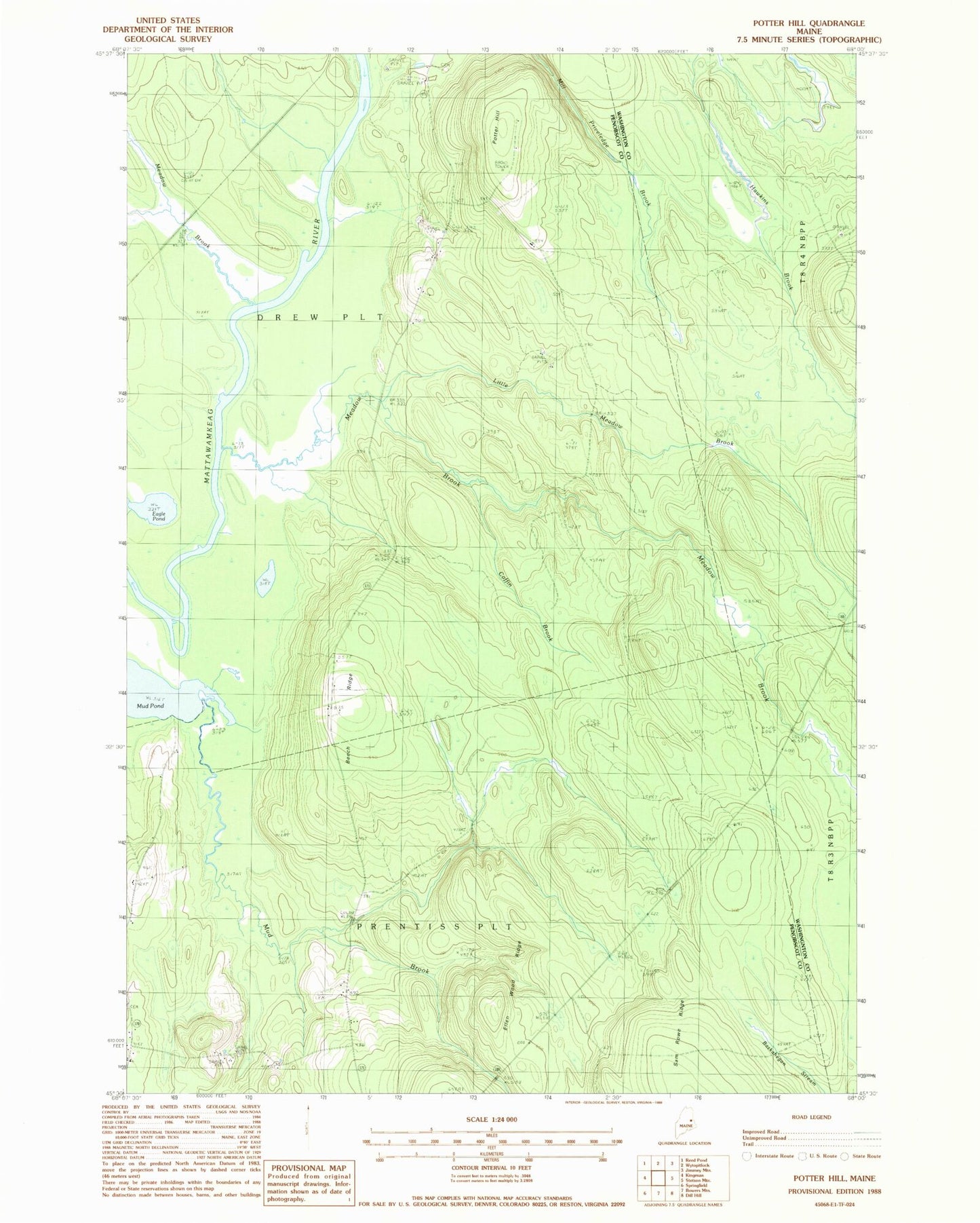
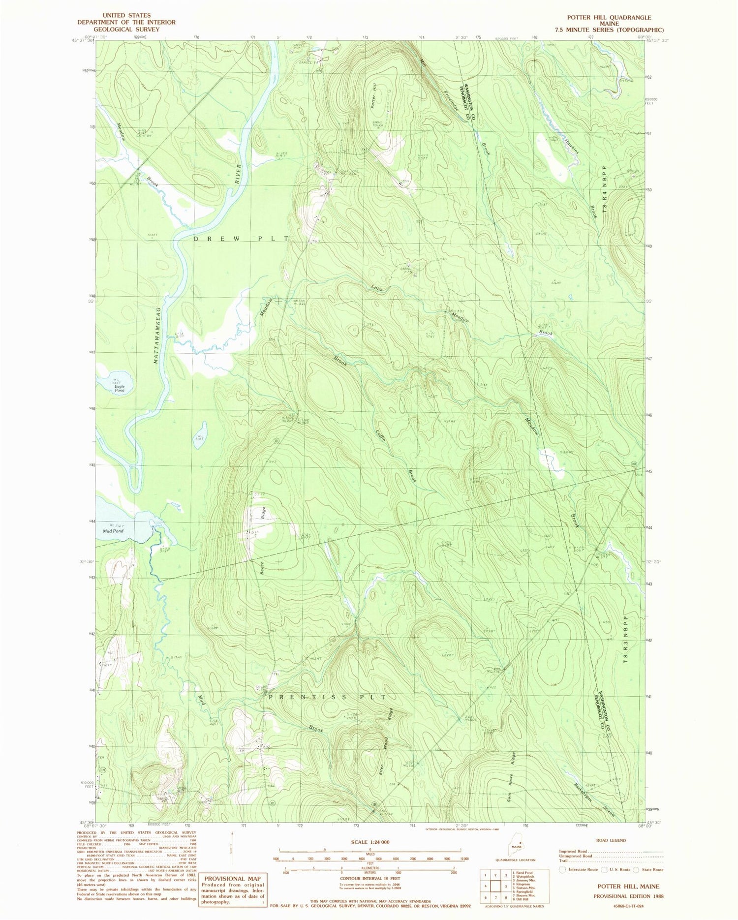
Classic USGS Potter Hill Maine 7.5'x7.5' Topo Map
Regular price
$16.95
Regular price
Sale price
$16.95
Unit price
per
Couldn't load pickup availability
Historical USGS topographic quad map of Potter Hill in the state of Maine. Typical map scale is 1:24,000, but may vary for certain years, if available. Print size: 24" x 27"
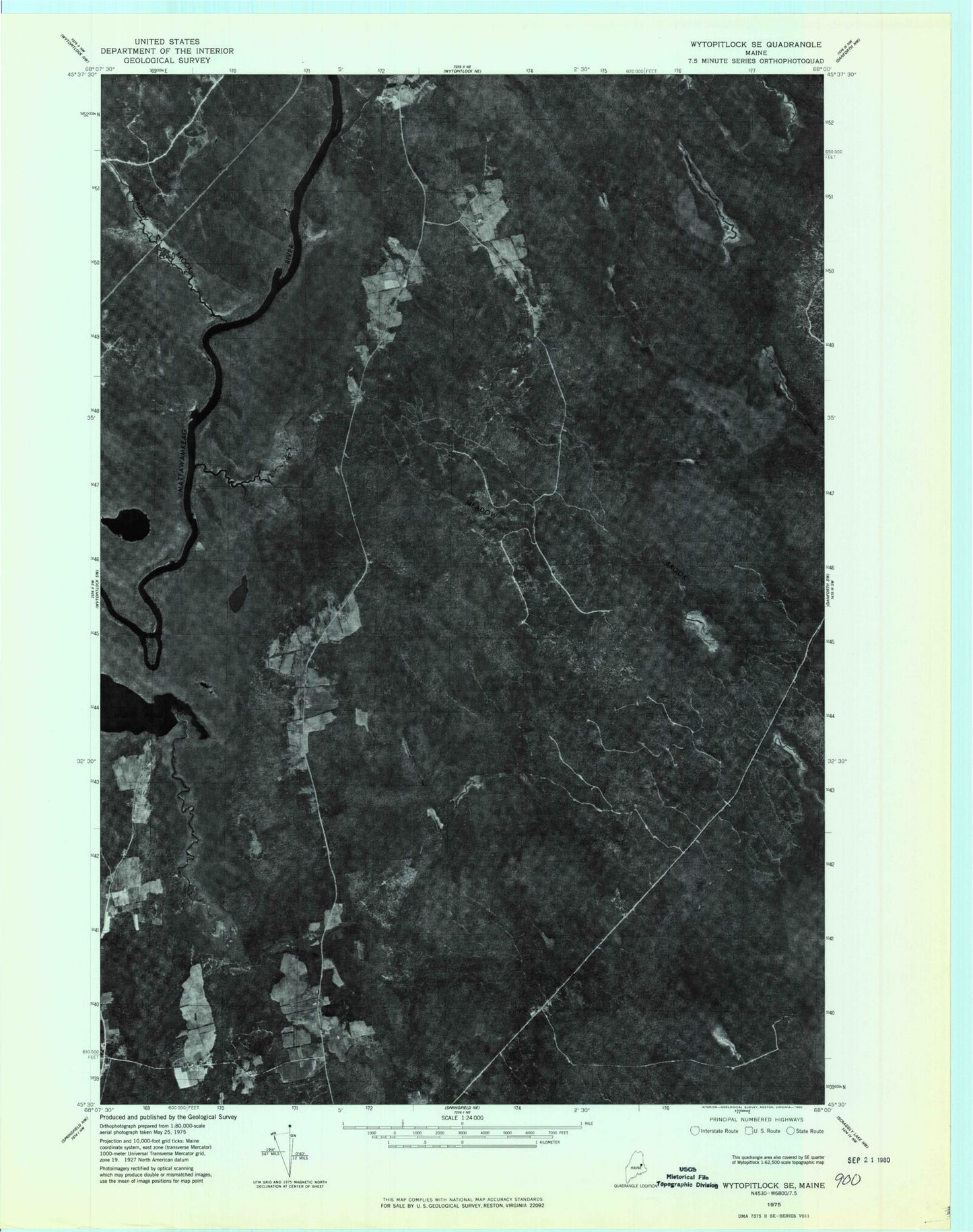
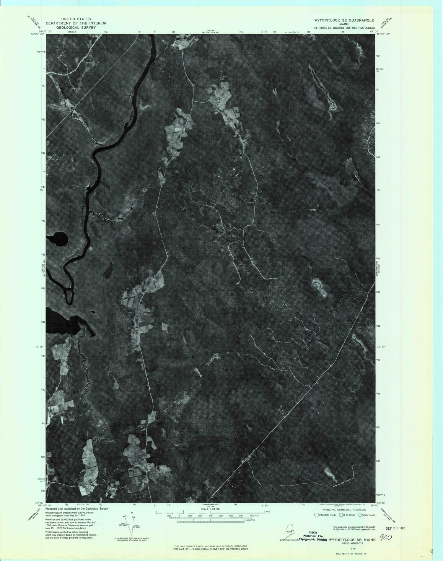
This quadrangle is in the following counties: Penobscot, Washington.
The map contains contour lines, roads, rivers, towns, and lakes. Printed on high-quality waterproof paper with UV fade-resistant inks, and shipped rolled.
Contains the following named places: Beech Ridge, Belding Cemetery, Coffin Brook, Drew Cemetery, Eagle Pond, Ellen Wood Ridge, Little Meadow Brook, Meadow Brook, Meadow Brook, Mud Pond, Potter Hill, Plantation of Drew, Plantation of Prentiss, Prentiss Township T7 R3 NBPP, Unorganized Territory of Prentiss