MyTopo
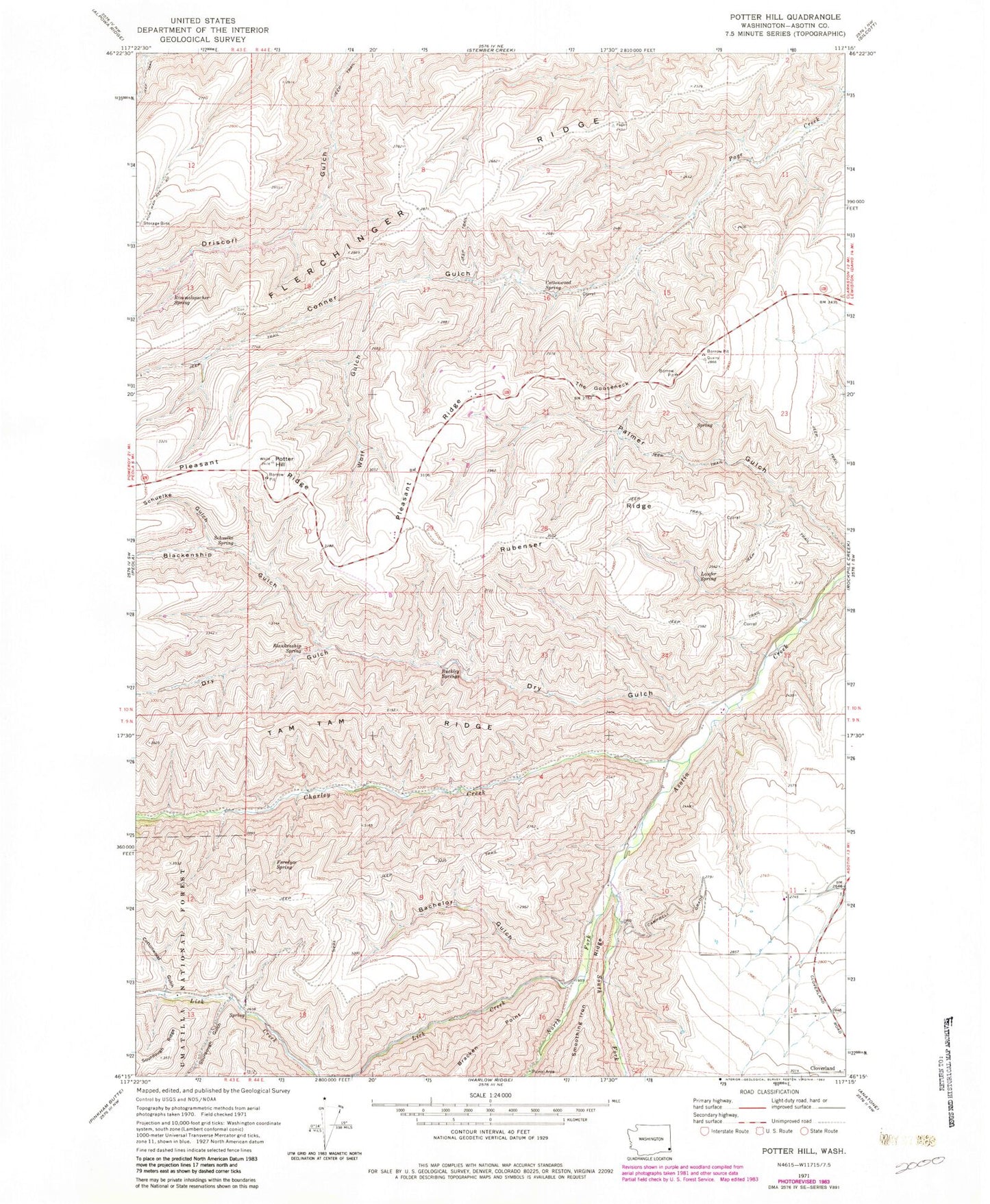
Classic USGS Potter Hill Washington 7.5'x7.5' Topo Map
Couldn't load pickup availability
Historical USGS topographic quad map of Potter Hill in the state of Washington. Map scale may vary for some years, but is generally around 1:24,000. Print size is approximately 24" x 27"
This quadrangle is in the following counties: Asotin.
The map contains contour lines, roads, rivers, towns, and lakes. Printed on high-quality waterproof paper with UV fade-resistant inks, and shipped rolled.
Contains the following named places: Asotin Game Range Headquarters, Asotin State Wildlife Recreation Area, Bachelor Gulch, Blankenship Gulch, Blankenship Spring, Bracken Point, Buckley Springs, Charley Creek, Clarkston Division, Cloverland, Conner Gulch, Cottonwood Gulch, Cottonwood Spring, Dry Gulch, Foredyce Spring, Laufer Spring, Lick Creek, North Fork Asotin Creek, Potter Hill, Rimmelspacher Spring, Rubenser Ridge, Schuelke Gulch, Schuelke Spring, Sourdough Gulch, South Fork Asotin Creek, Tam Tam Ridge, The Gooseneck, Wolf Gulch, ZIP Code: 99403