MyTopo
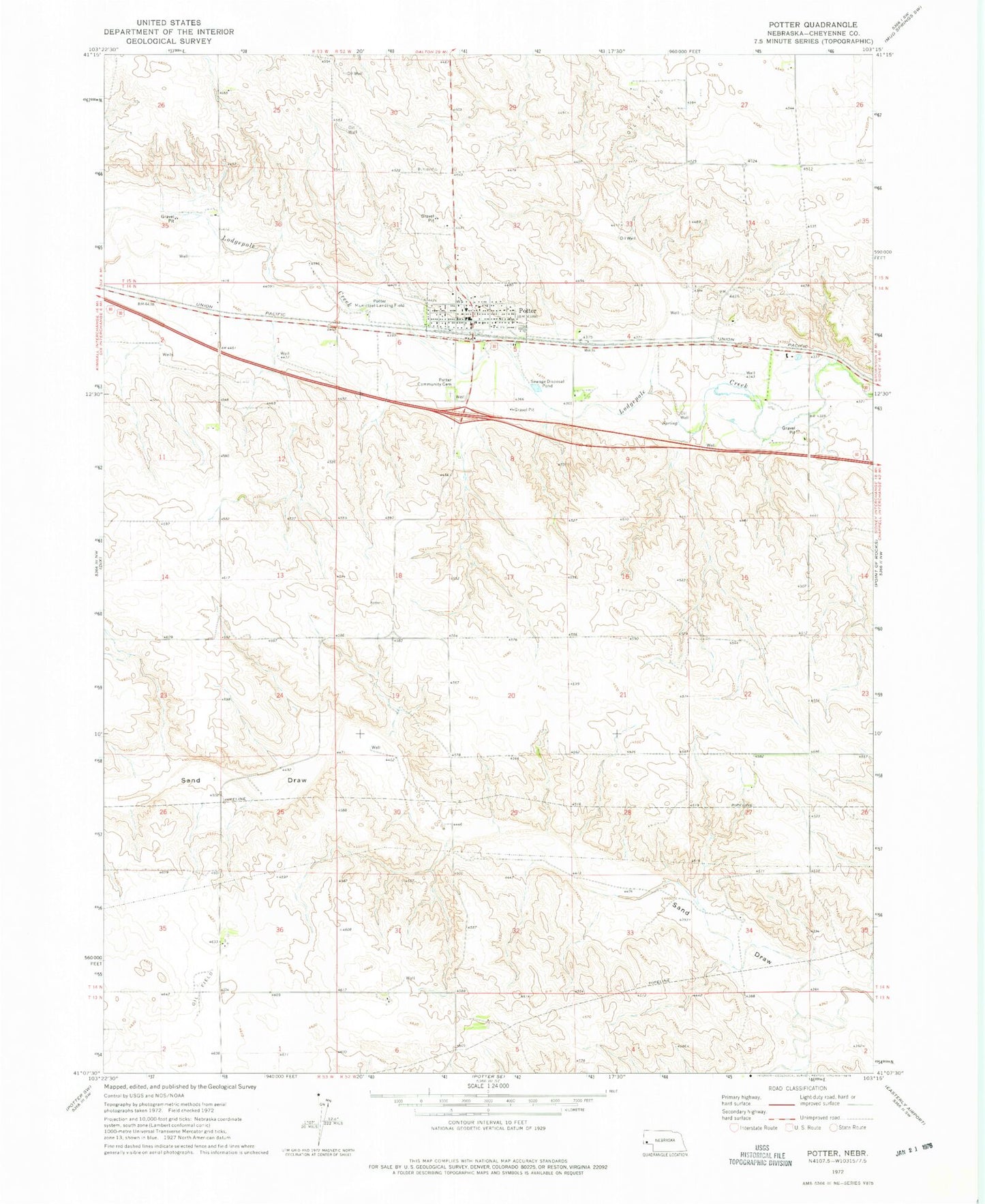
Classic USGS Potter Nebraska 7.5'x7.5' Topo Map
Couldn't load pickup availability
Historical USGS topographic quad map of Potter in the state of Nebraska. Map scale may vary for some years, but is generally around 1:24,000. Print size is approximately 24" x 27"
This quadrangle is in the following counties: Cheyenne.
The map contains contour lines, roads, rivers, towns, and lakes. Printed on high-quality waterproof paper with UV fade-resistant inks, and shipped rolled.
Contains the following named places: Crossroads Cooperative Association Elevator, First Lutheran Church, Heimer Dam, Heimer Reservoir, Jung Dam, Jung Reservoir, M and S Campground and Trailer Park, Potter, Potter Community Cemetery, Potter Election Precinct, Potter Family Clinic, Potter Fire Department, Potter Post Office, Potter Public Library, Potter-Dix Elementary School, Potter-Dix High School, Prairie Pines Golf Course, United Methodist Church, Willoughby Dam, Willoughby Reservoir