MyTopo
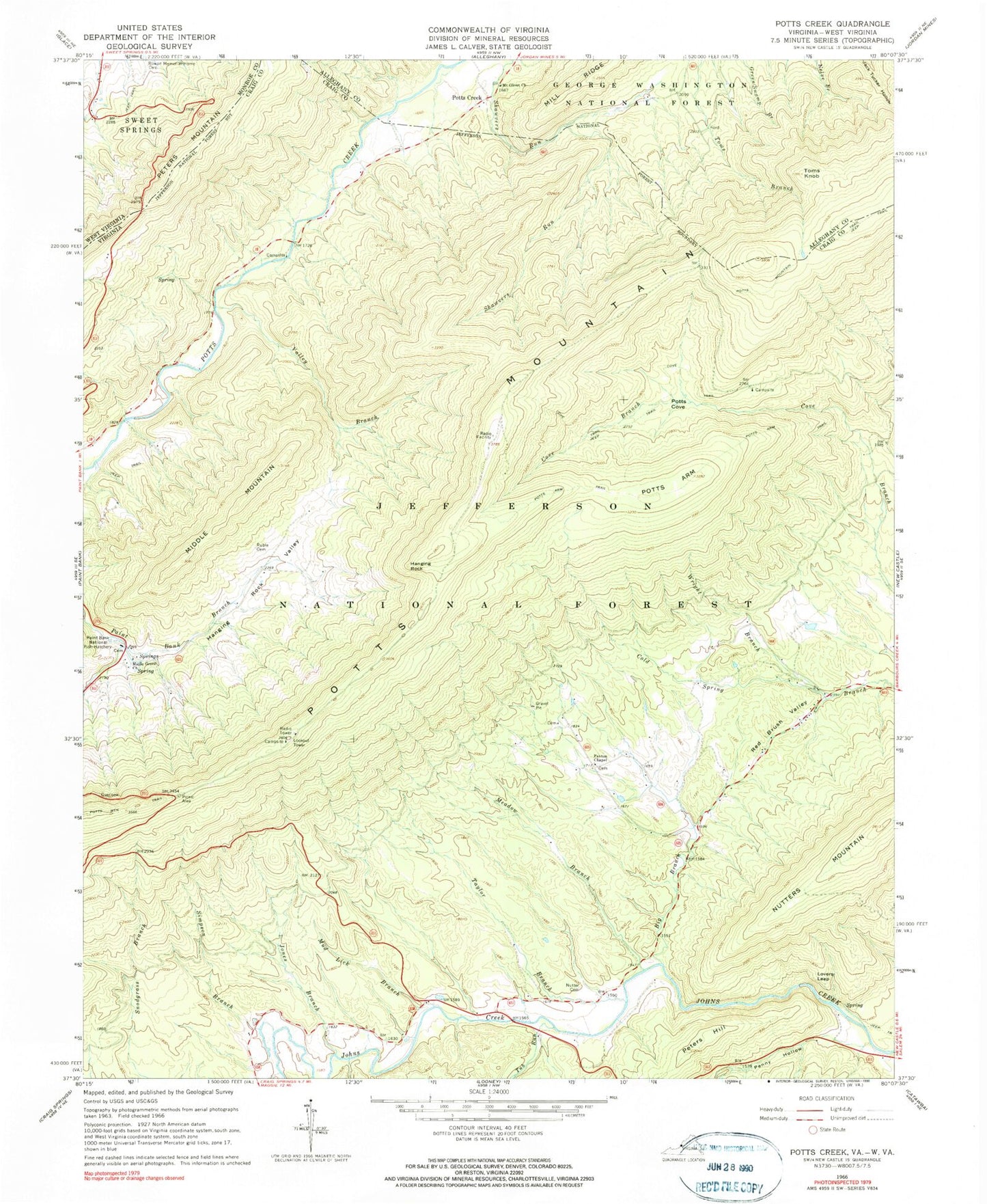
Classic USGS Potts Creek Virginia 7.5'x7.5' Topo Map
Couldn't load pickup availability
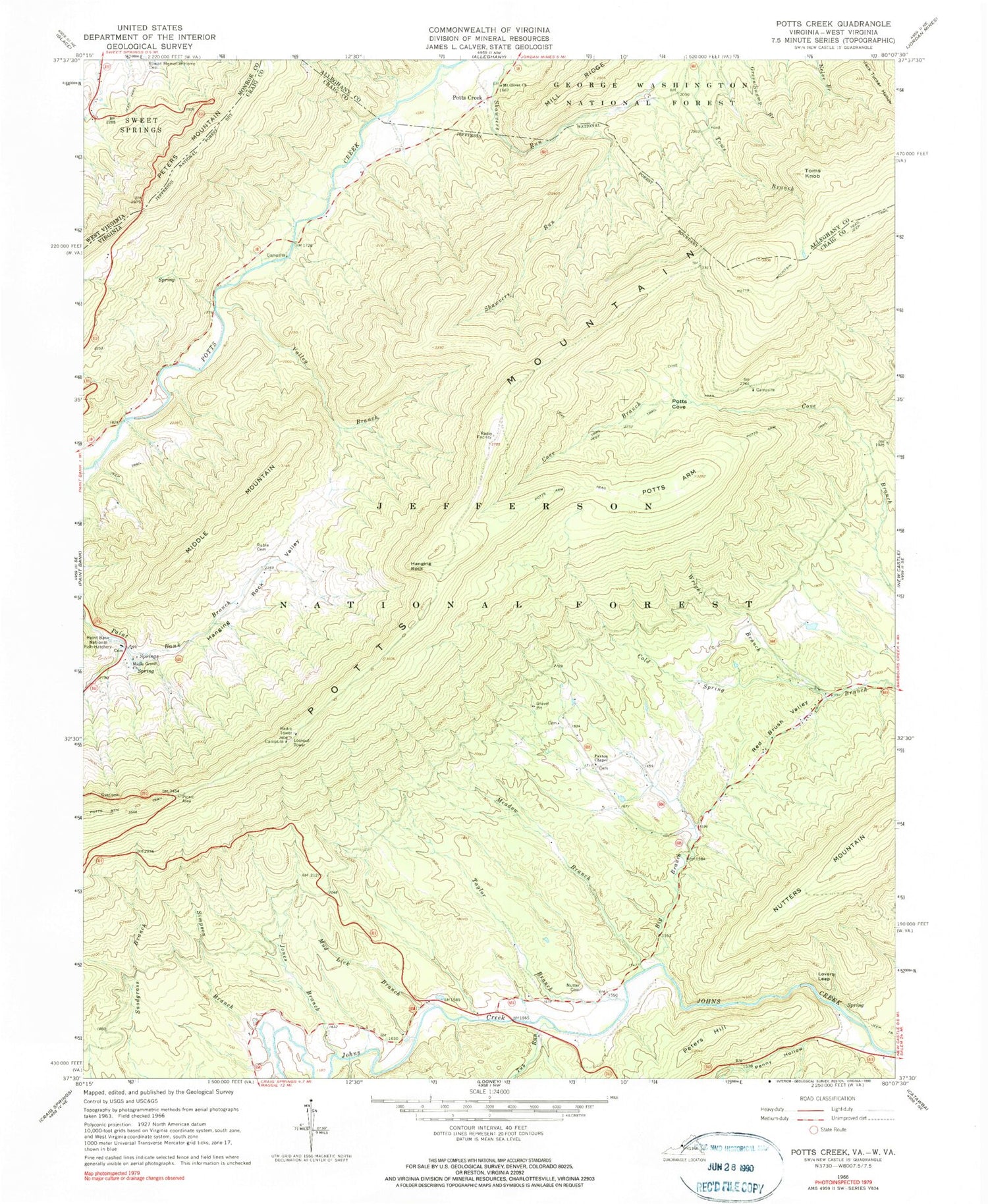
Historical USGS topographic quad map of Potts Creek in the states of Virginia, West Virginia. Typical map scale is 1:24,000, but may vary for certain years, if available. Print size: 24" x 27"
This quadrangle is in the following counties: Alleghany, Craig, Monroe.
The map contains contour lines, roads, rivers, towns, and lakes. Printed on high-quality waterproof paper with UV fade-resistant inks, and shipped rolled.
Contains the following named places: Big Branch, Cove Trail, Hanging Rock Valley, Jones Branch, Lovers Leap, Maple Grove Church, Meadow Branch, Middle Mountain, Mount Olivet Church, Mud Lick Branch, Nutter Family Cemetery, Nutters Mountain, Paxton Chapel, Penny Hollow, Peters Hill, Potts Arm, Potts Arm Trail, Potts Cove, Red Brush Valley, Ruble Cemetery, Simpson Branch, Taylor Branch, Toms Knob, Tub Run, Valley Branch, Wright Branch, Steel Bridge Campground, Paint Bank National Fish Hatchery, Hanging Rock, Potts Creek, Oak Grove Church (historical), Paxton Cemetery, Ruble School (historical), Potts Mountain District, Shawvers Run Wilderness, Rowan Memorial Home Cemetery


