MyTopo
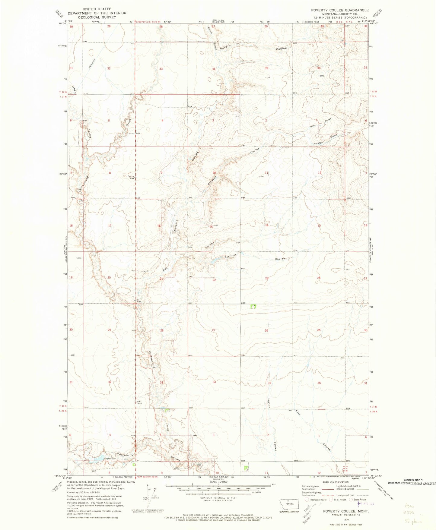
Classic USGS Poverty Coulee Montana 7.5'x7.5' Topo Map
Regular price
$16.95
Regular price
Sale price
$16.95
Unit price
per
Couldn't load pickup availability
Historical USGS topographic quad map of Poverty Coulee in the state of Montana. Map scale may vary for some years, but is generally around 1:24,000. Print size is approximately 24" x 27"
This quadrangle is in the following counties: Liberty.
The map contains contour lines, roads, rivers, towns, and lakes. Printed on high-quality waterproof paper with UV fade-resistant inks, and shipped rolled.
Contains the following named places: 30N06E11BBBA01 Well, 31N06E27ADDD01 Well, 31N06E35BAAC01 Well, Clausen Coulee, Cox Coulee, Gagnon Reservoir, Loranger Coulee, Manton Coulee, Nutt Coulee, Poverty Coulee, Stellner Coulee, Tiber Coulee, Twelvemile Coulee