MyTopo
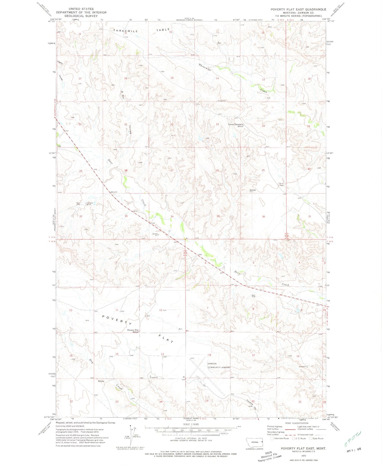
Classic USGS Poverty Flat East Montana 7.5'x7.5' Topo Map
Couldn't load pickup availability
Historical USGS topographic quad map of Poverty Flat East in the state of Montana. Map scale may vary for some years, but is generally around 1:24,000. Print size is approximately 24" x 27"
This quadrangle is in the following counties: Dawson.
The map contains contour lines, roads, rivers, towns, and lakes. Printed on high-quality waterproof paper with UV fade-resistant inks, and shipped rolled.
Contains the following named places: 16N54E12CBDB01 Well, 16N54E14ADAD01 Well, 16N55E09BBBC01 Well, 17N54E11DBCC01 Well, 17N54E14ADBC01 Well, 17N54E17ACAB01 Well, 17N54E20CCBA01 Well, 17N54E29ACDB01 Well, 17N55E30CC__01 Well, 17N55E30DACC01 Well, D Bar Coulee, Dawson Community Airport, Gampost Mine, Glendive Butte, Lower Threemile School, Poverty Flat School, Wolf Point School