MyTopo
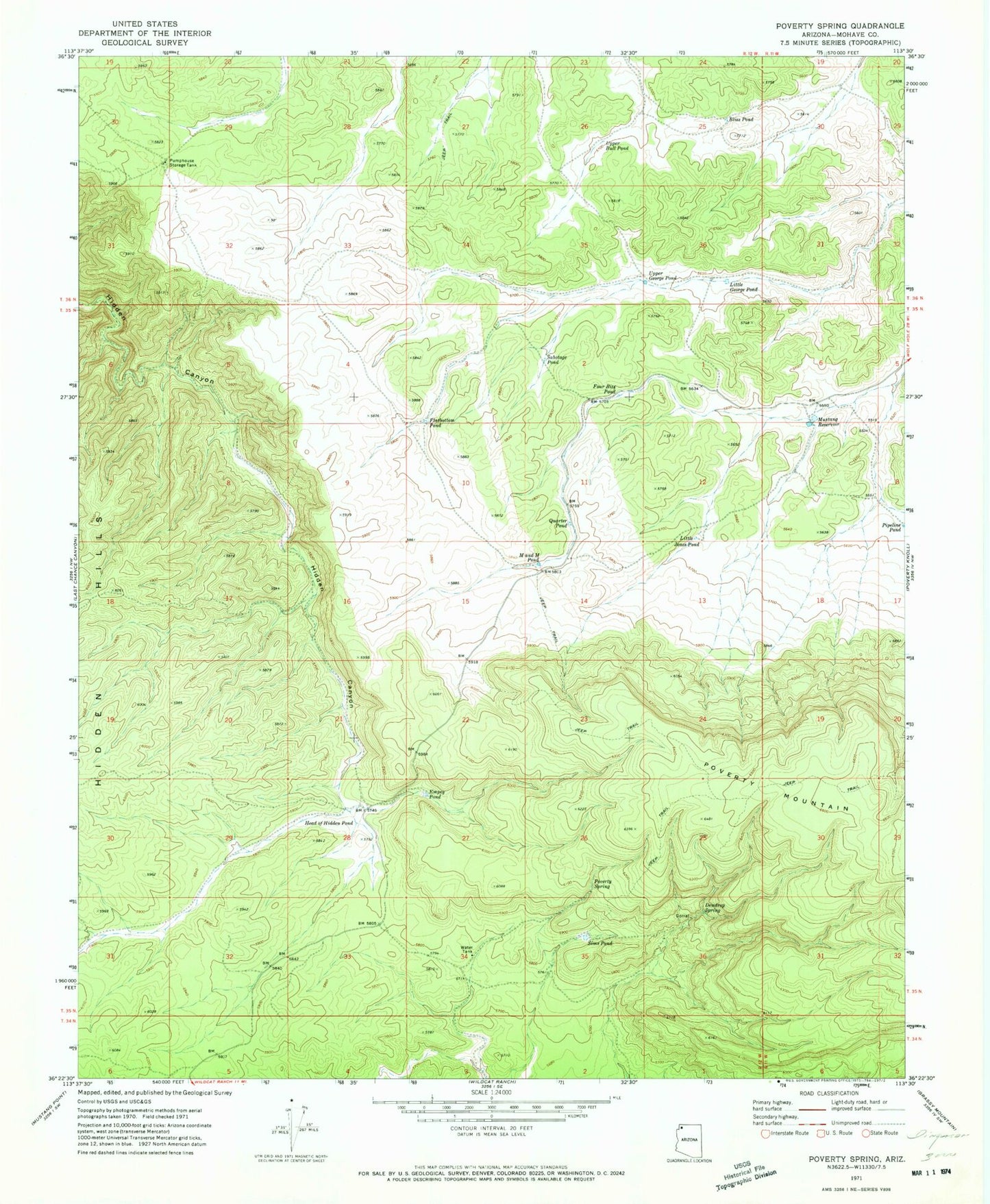
Classic USGS Poverty Spring Arizona 7.5'x7.5' Topo Map
Couldn't load pickup availability
Historical USGS topographic quad map of Poverty Spring in the state of Arizona. Map scale may vary for some years, but is generally around 1:24,000. Print size is approximately 24" x 27"
This quadrangle is in the following counties: Mohave.
The map contains contour lines, roads, rivers, towns, and lakes. Printed on high-quality waterproof paper with UV fade-resistant inks, and shipped rolled.
Contains the following named places: Bliss Pond, Dewdrop Spring, Empey Pond, Flatbottom Pond, Four Bits Pond, Head of Hidden Pond, Little George Pond, Little Jones Pond, M and M Pond, Middle Trough Tank, Mustang Reservoir, Pipeline Pond, Poverty Spring, Quarter Pond, Sabotage Pond, Shivwits Plateau, Sims Pond, Upper Bull Pond, Upper George Pond