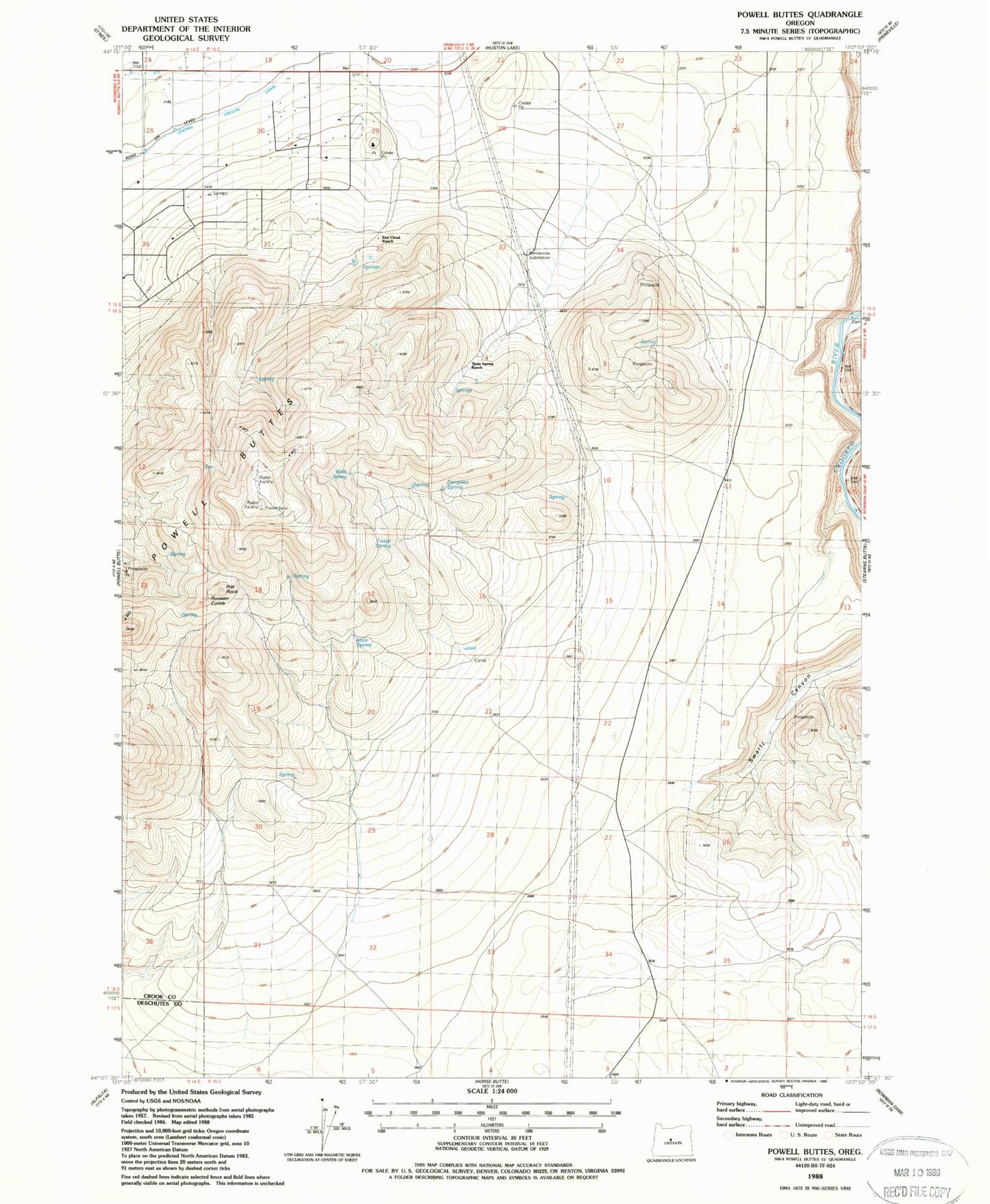
MyTopo
Classic USGS Powell Buttes Oregon 7.5'x7.5' Topo Map
Regular price
$16.95
Regular price
Sale price
$16.95
Unit price
per
Couldn't load pickup availability
Historical USGS topographic quad map of Powell Buttes in the state of Oregon. Map scale may vary for some years, but is generally around 1:24,000. Print size is approximately 24" x 27"
This quadrangle is in the following counties: Crook, Deschutes.
The map contains contour lines, roads, rivers, towns, and lakes. Printed on high-quality waterproof paper with UV fade-resistant inks, and shipped rolled.
Contains the following named places: Baldwin Dam, Casey Spring, Dempsey Spring, Hat Rock, Hat Rock Post Office, Ponderosa Substation, Powell Buttes, Red Cloud Ranch, Rooster Comb, Statz Spring, Three Spring Ranch, Wells Spring