MyTopo
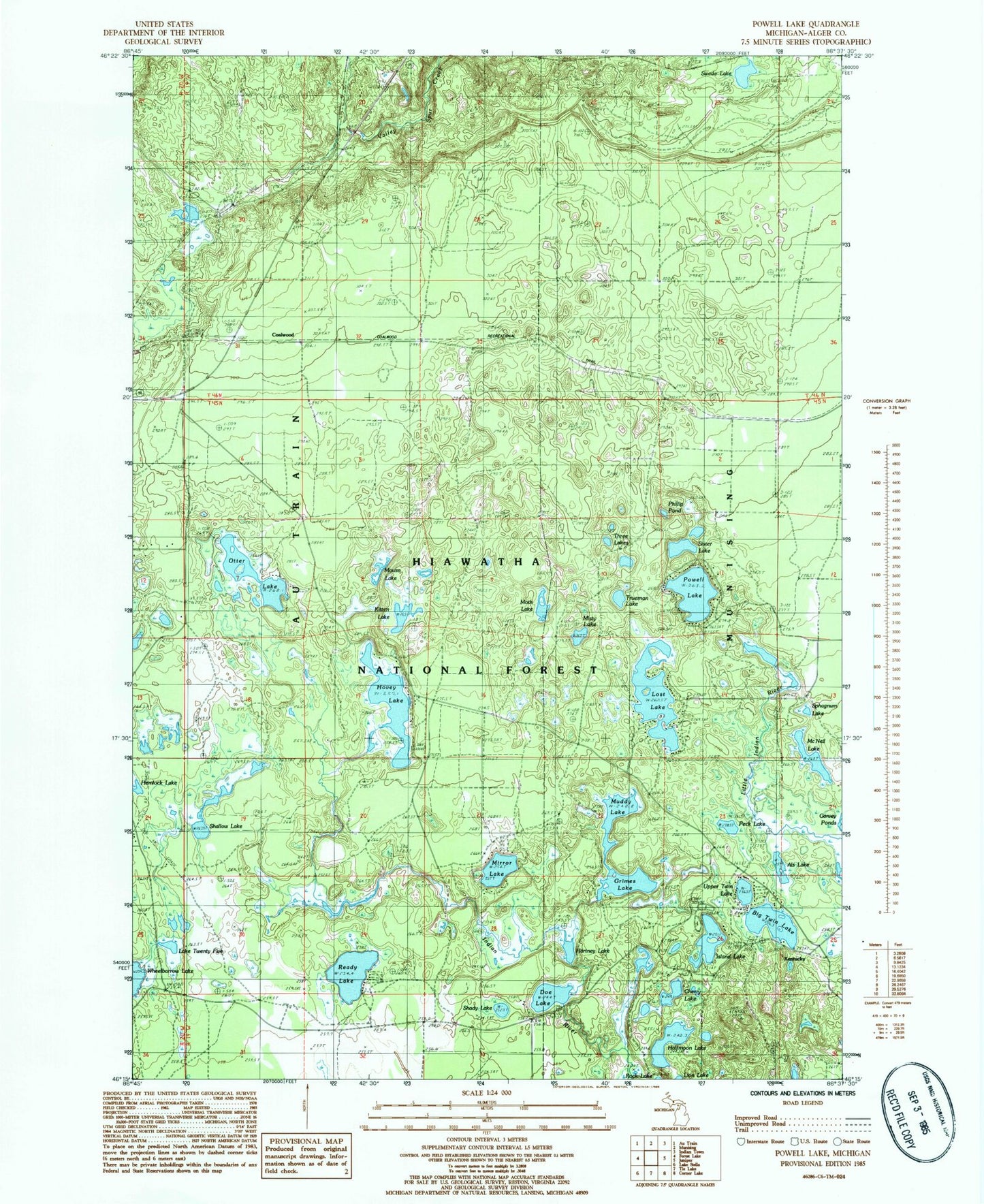
Classic USGS Powell Lake Michigan 7.5'x7.5' Topo Map
Couldn't load pickup availability
Historical USGS topographic quad map of Powell Lake in the state of Michigan. Map scale may vary for some years, but is generally around 1:24,000. Print size is approximately 24" x 27"
This quadrangle is in the following counties: Alger.
The map contains contour lines, roads, rivers, towns, and lakes. Printed on high-quality waterproof paper with UV fade-resistant inks, and shipped rolled.
Contains the following named places: Als Lake, Big Twin Lake, Buckhorn/Otter Lake Campground, CCC Camp, Cherry Lake, Coalwood, Coalwood Post Office, Coalwood Recreational Trail, Coalwood Station, Doe Lake, Grimes Lake, Halfmoon Lake, Hartney Lake, Hemlock Lake, Hovey Lake, Hovey Lake Campground, Island Lake, Island Lake Campground, Kentucky, Kitten Lake, Lake Twenty Five, Lost Lake, McNeil Lake, Mirror Lake, Misty Lake, Moth Lake, Mouse Lake, Muddy Lake, Otter Lake, Peck Lake, Phillip Pond, Powell Lake, Ready Lake, Shady Lake, Shallow Lake, Sister Lake, Sphagnum Lake, Swede Lake, Three Lakes, Trueman Lake, Upper Twin Lake, Valley Spur Ski Trail